



CLIMATE CHANGE & THE INTERTIDAL PROJECT COLLIDE
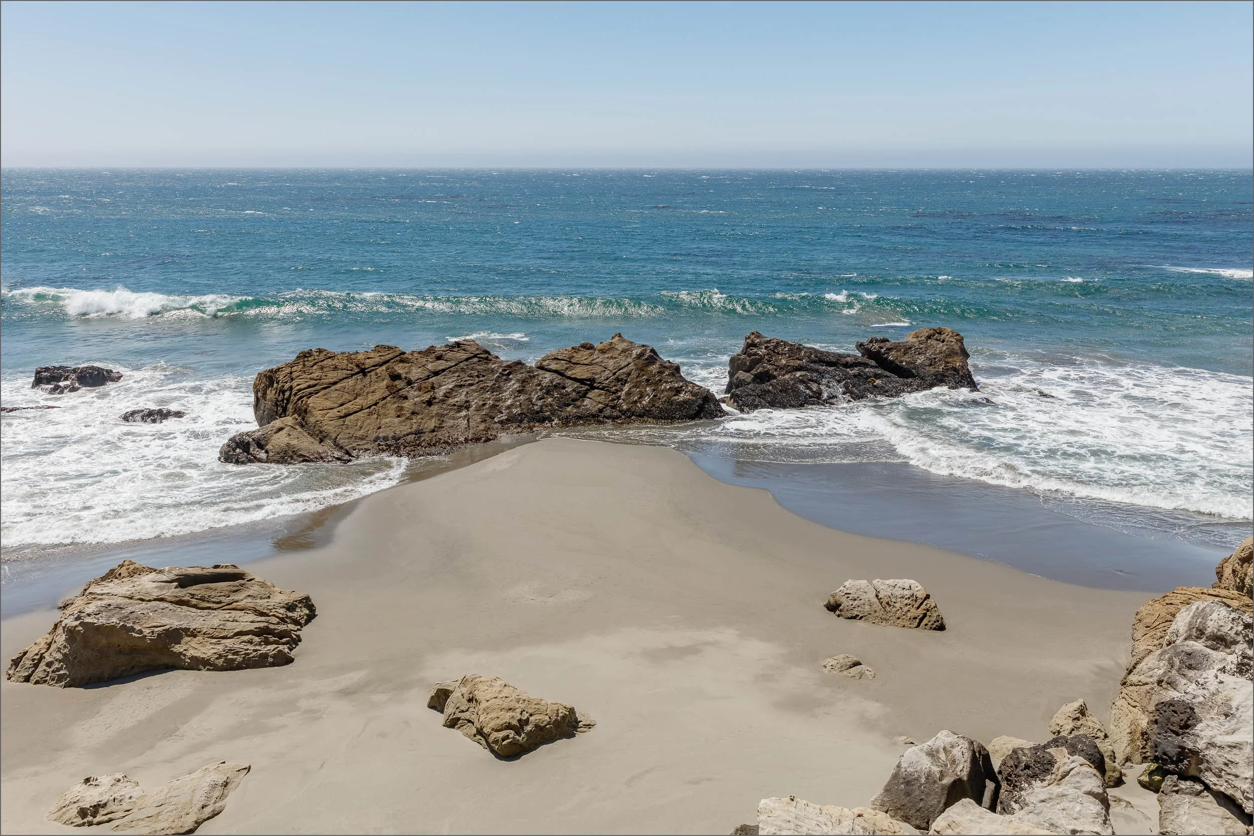
The Sea Ranch coastline has been profoundly impacted by climate change, shifting the project from inward reflection to engagement with external forces. My latest work in progress, LOSING GROUND, confronts the relentless advance of environmental loss manifesting within THE INTERTIDAL PROJECT.
WILD MOOR POINT LOSING GROUND: 2020 v. 2025
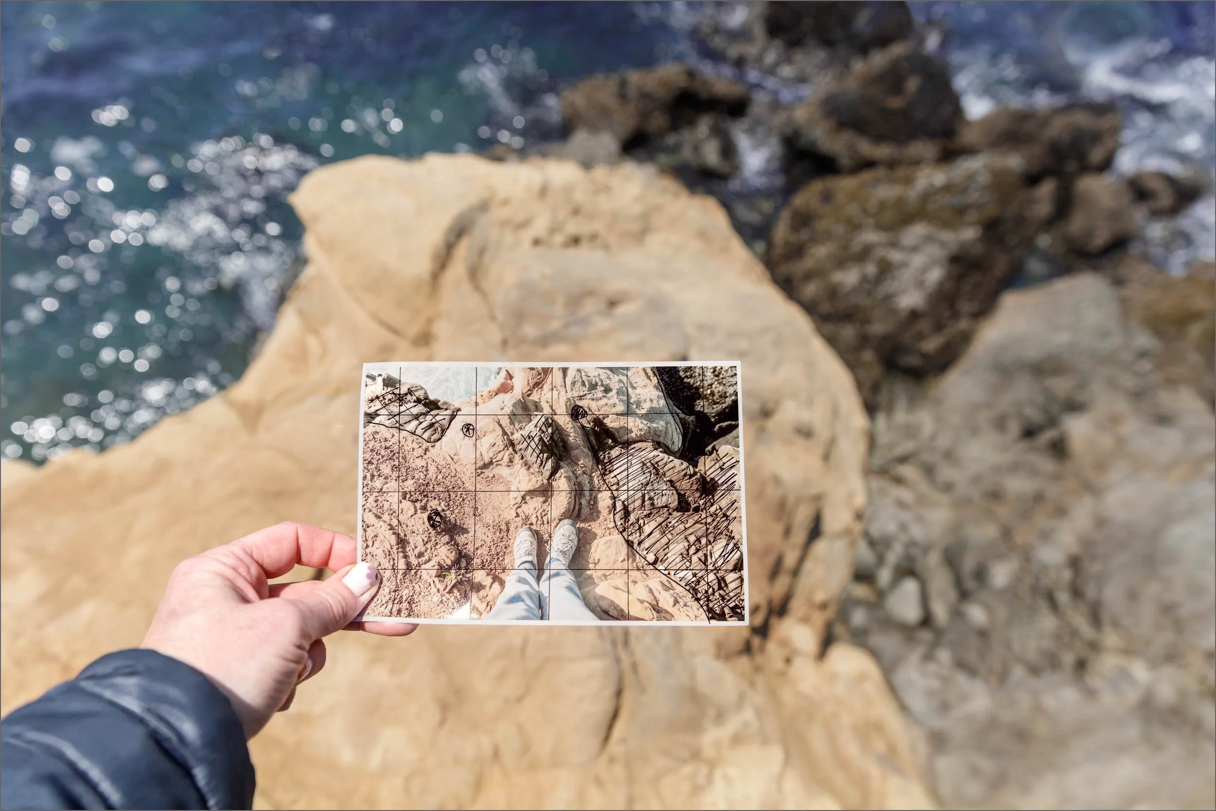
Since 2023, colossal winter storms have reshaped the Northern California coastline. A narrow cliff edge where I once stood now lies in jumbled rocks a hundred feet below. Losing this vantage point has erased critical data collected over six years and brought a profound sense of loss.
My archive of time, memory, and place now confronts extreme weather, raising a new question: “How do I show what used to be here?”
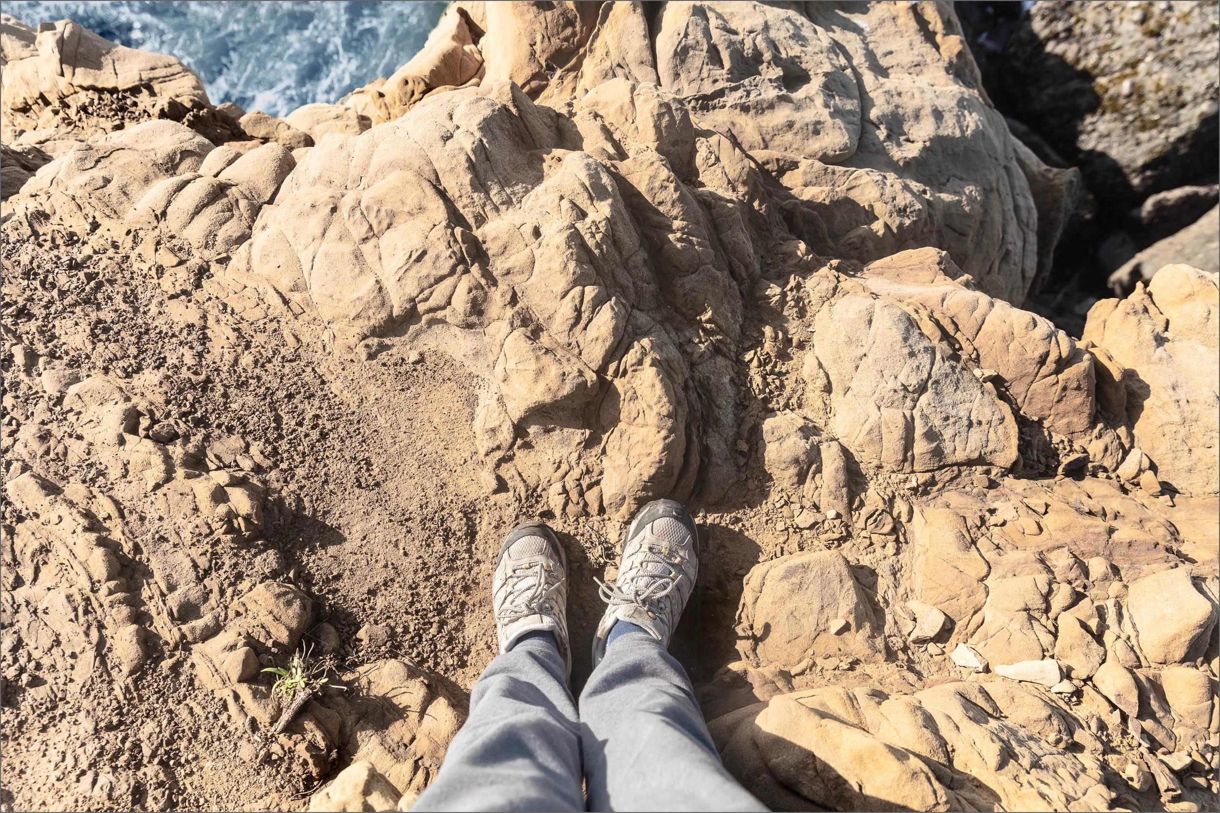
2020
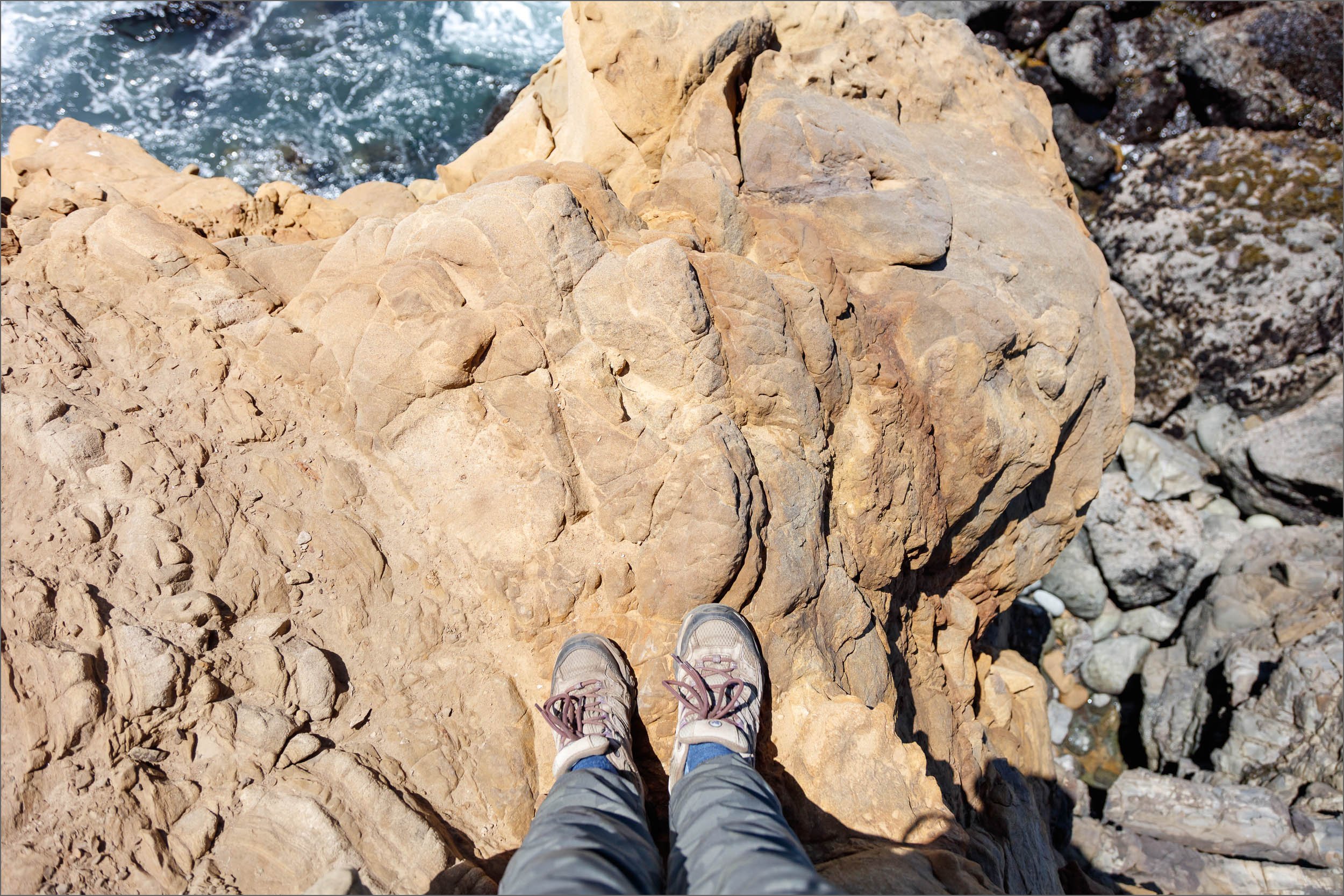
2025
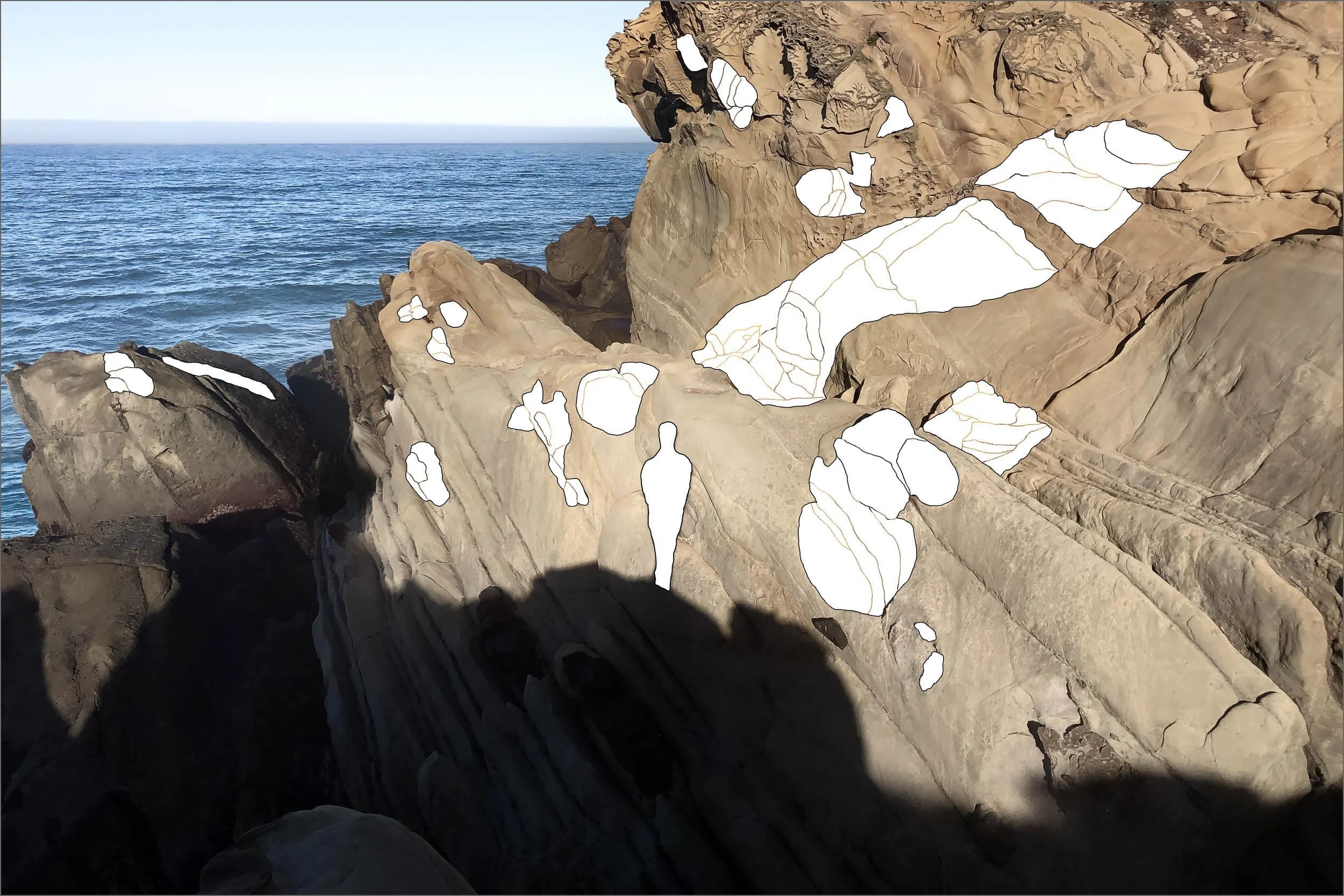
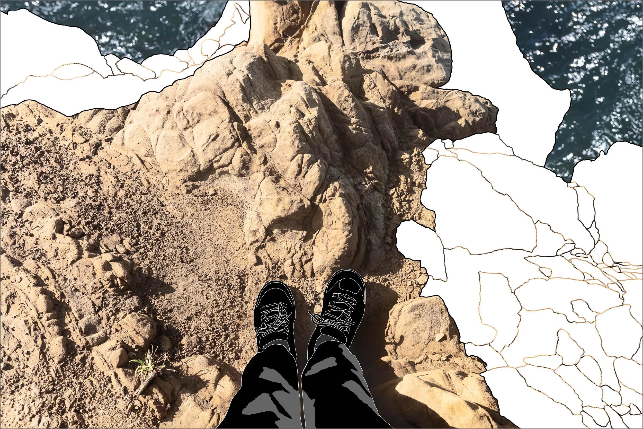
TIDAL BLOCK v. TIDAL BLOCK II
2026 v. 2020
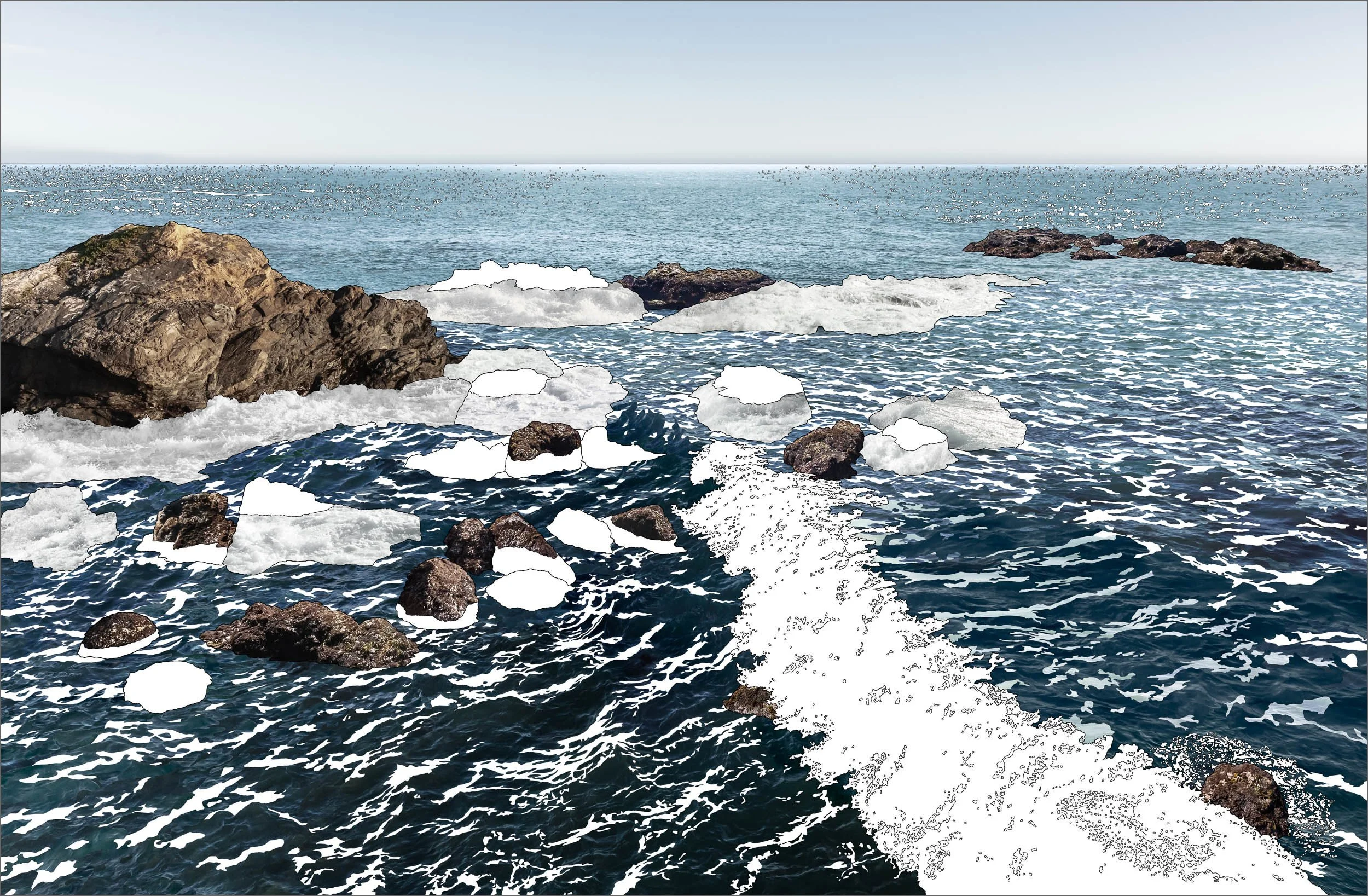
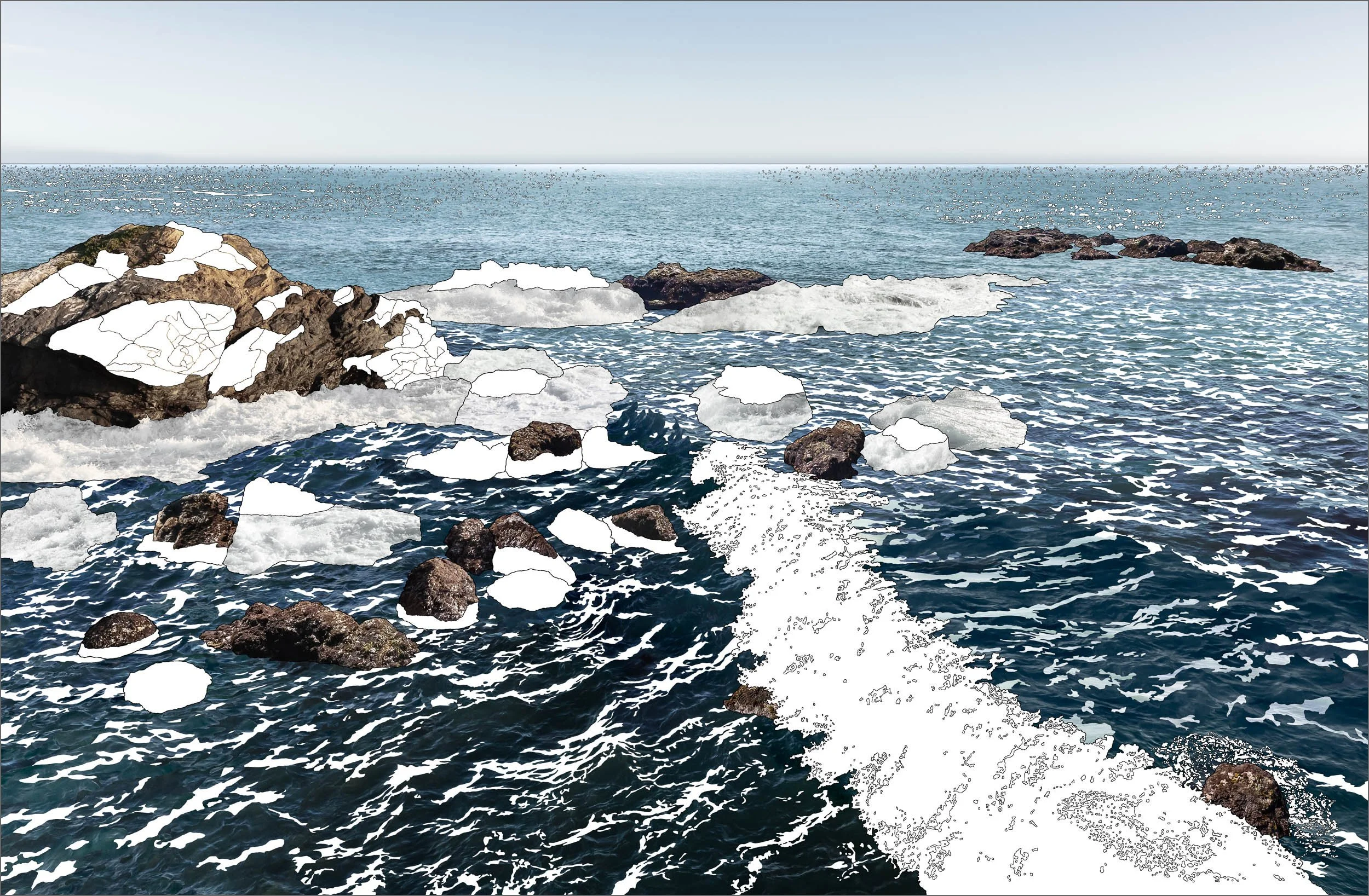
Based on the original TIDAL BLOCK, TIDAL BLOCK II: LOSING GROUND at Wild Moor Point reveals the impact of coastal climate change at the project’s primary location. Blank areas within the large rock formation signify the dramatic damage inflicted by storms, culminating in 2026.
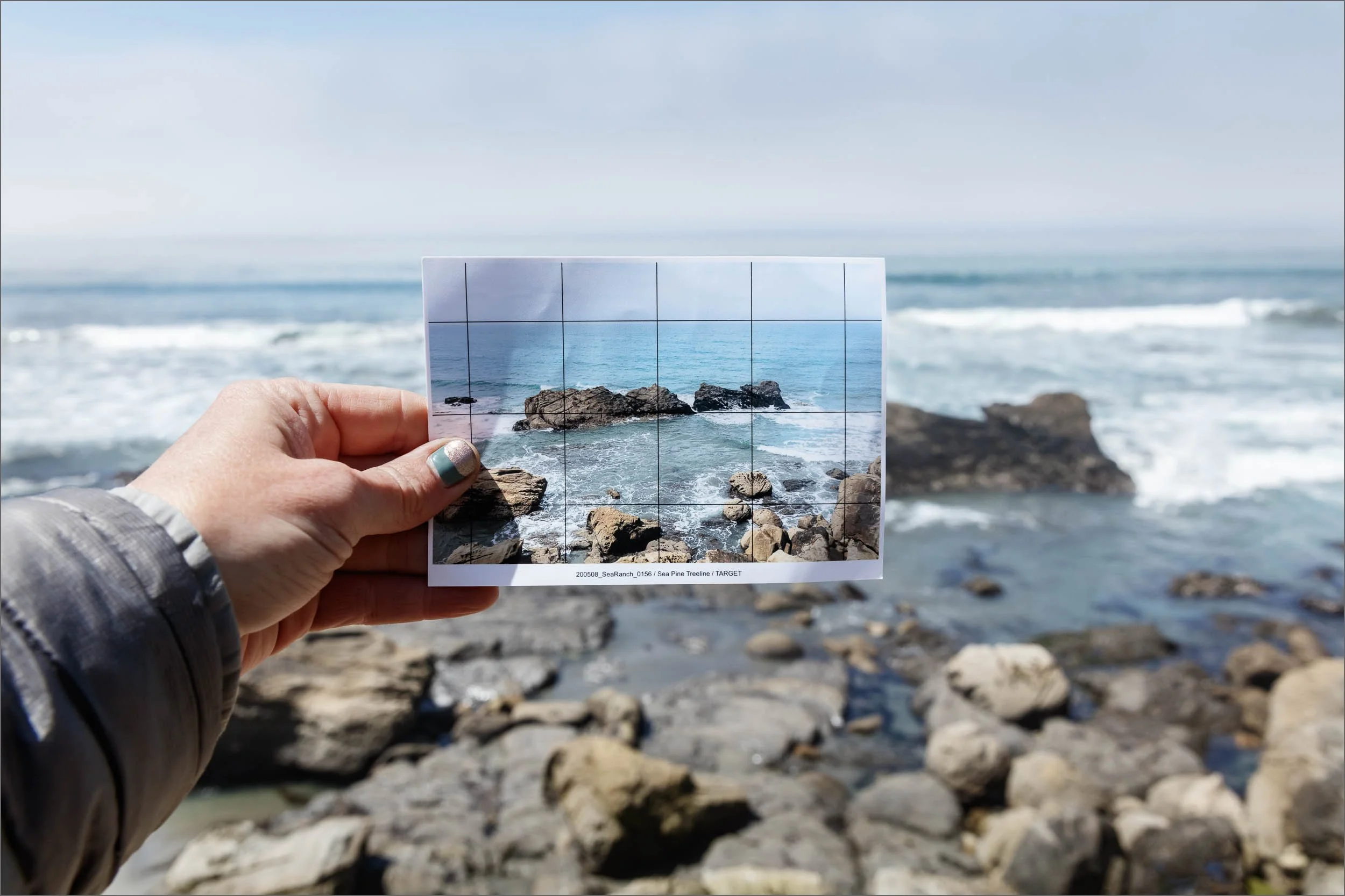
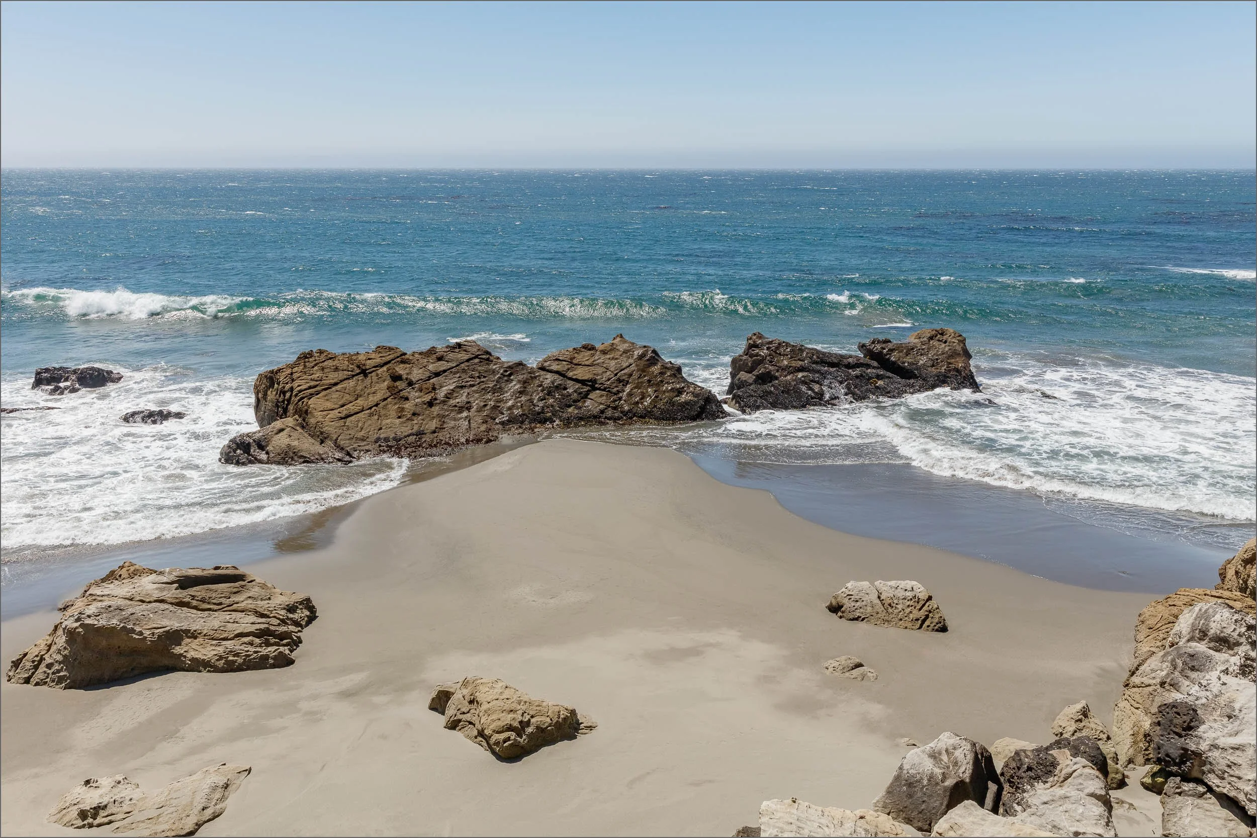


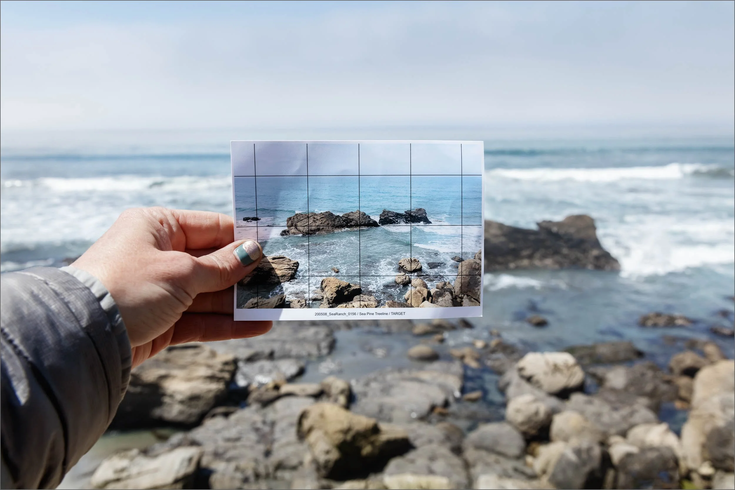
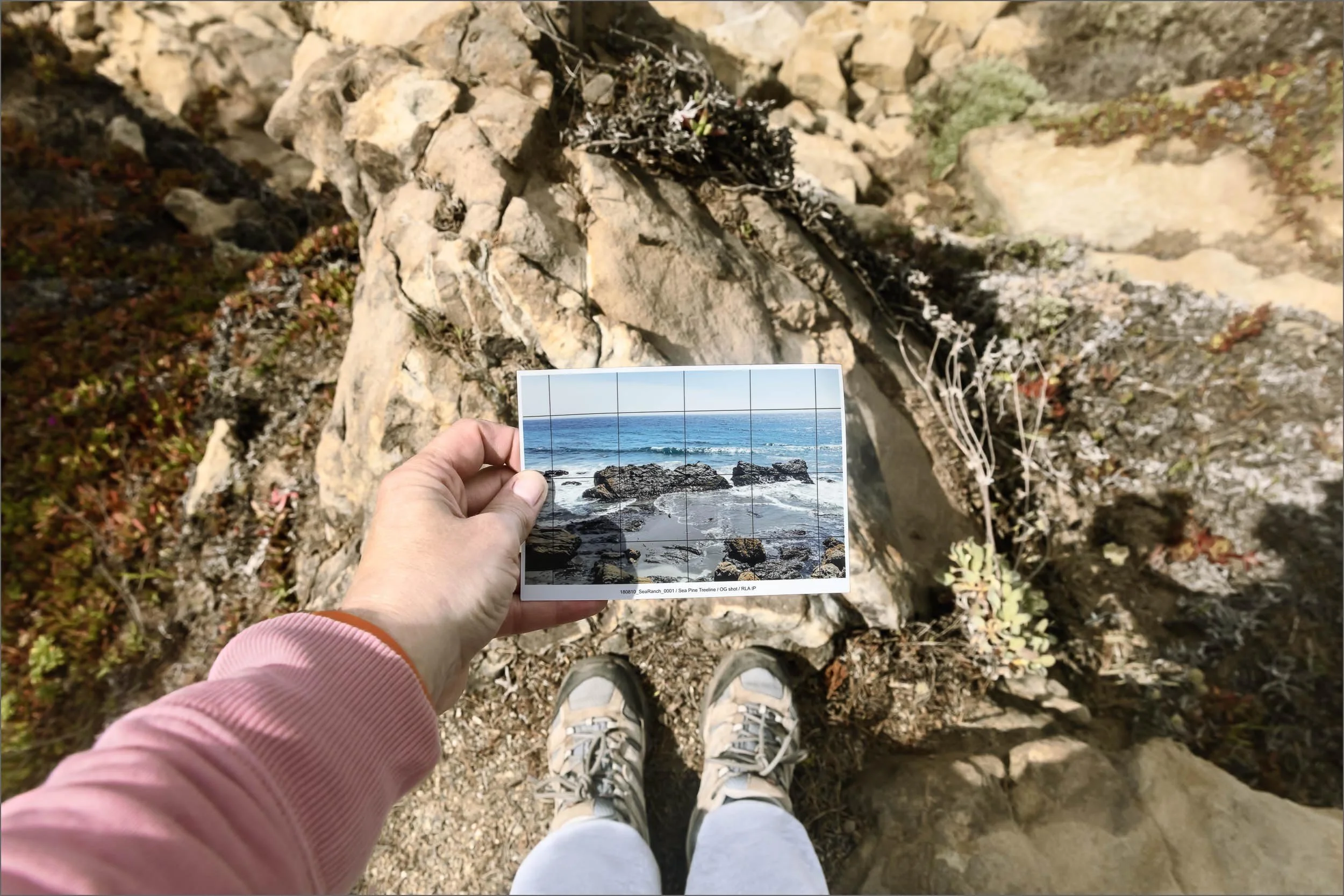
SEA PINE TREE LINE LOSING GROUND
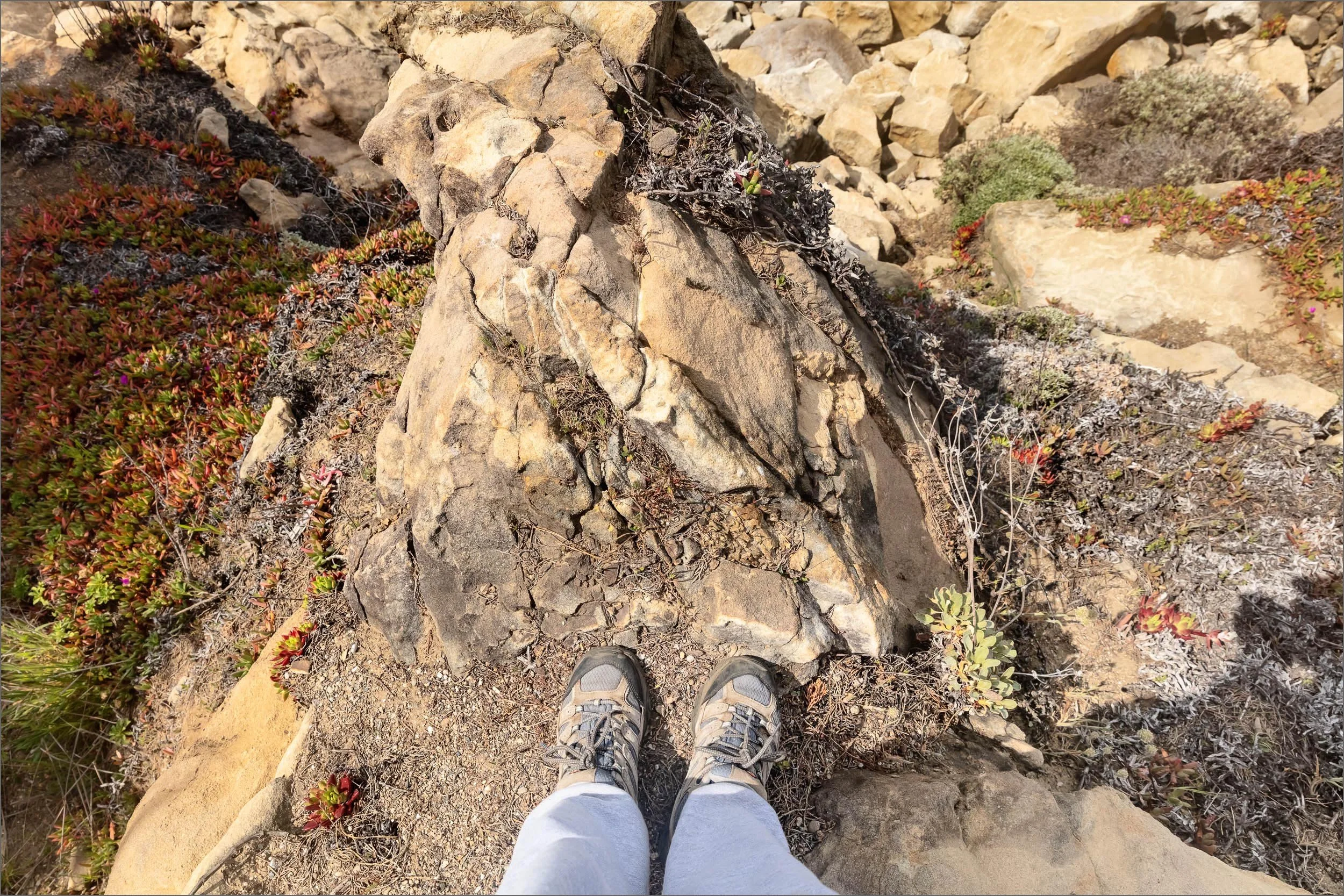
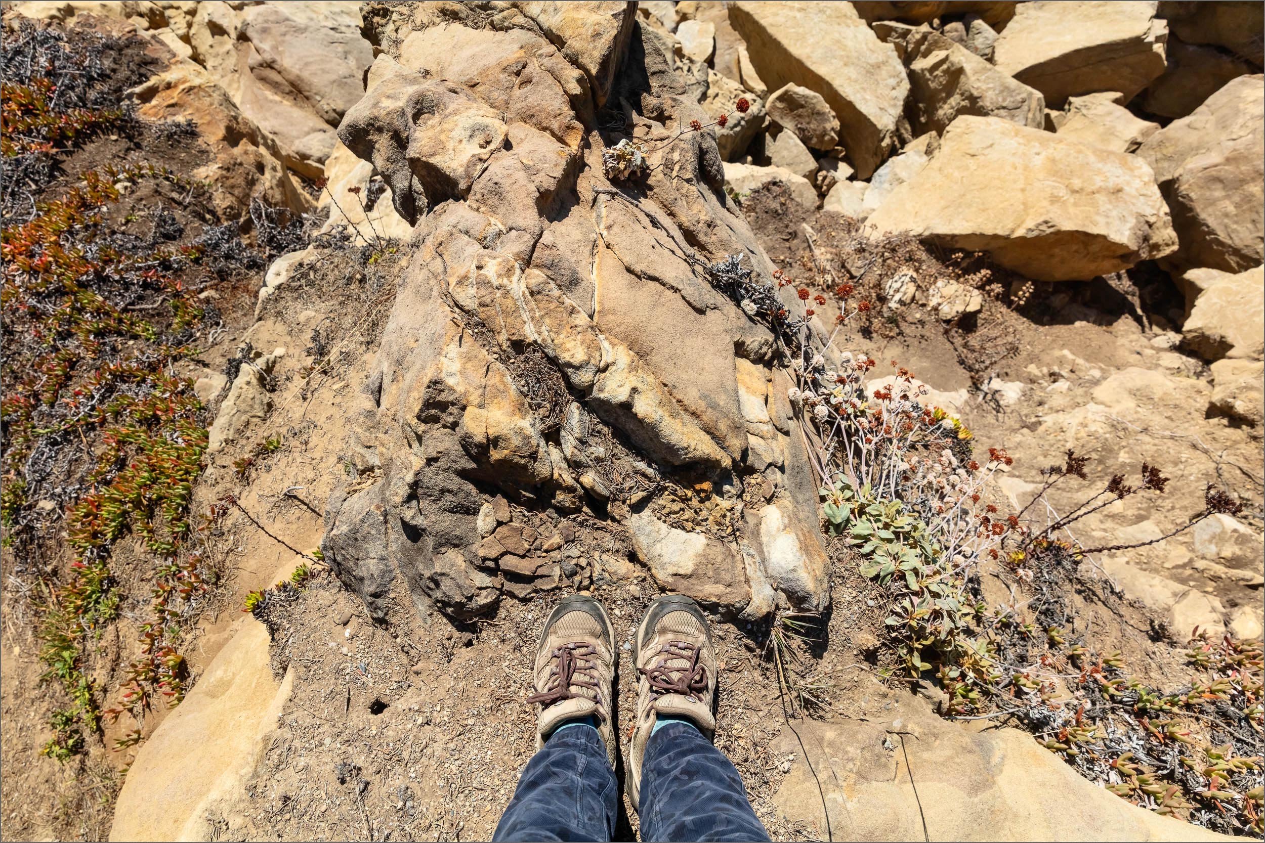
JULY 2019 v. MARCH 2026
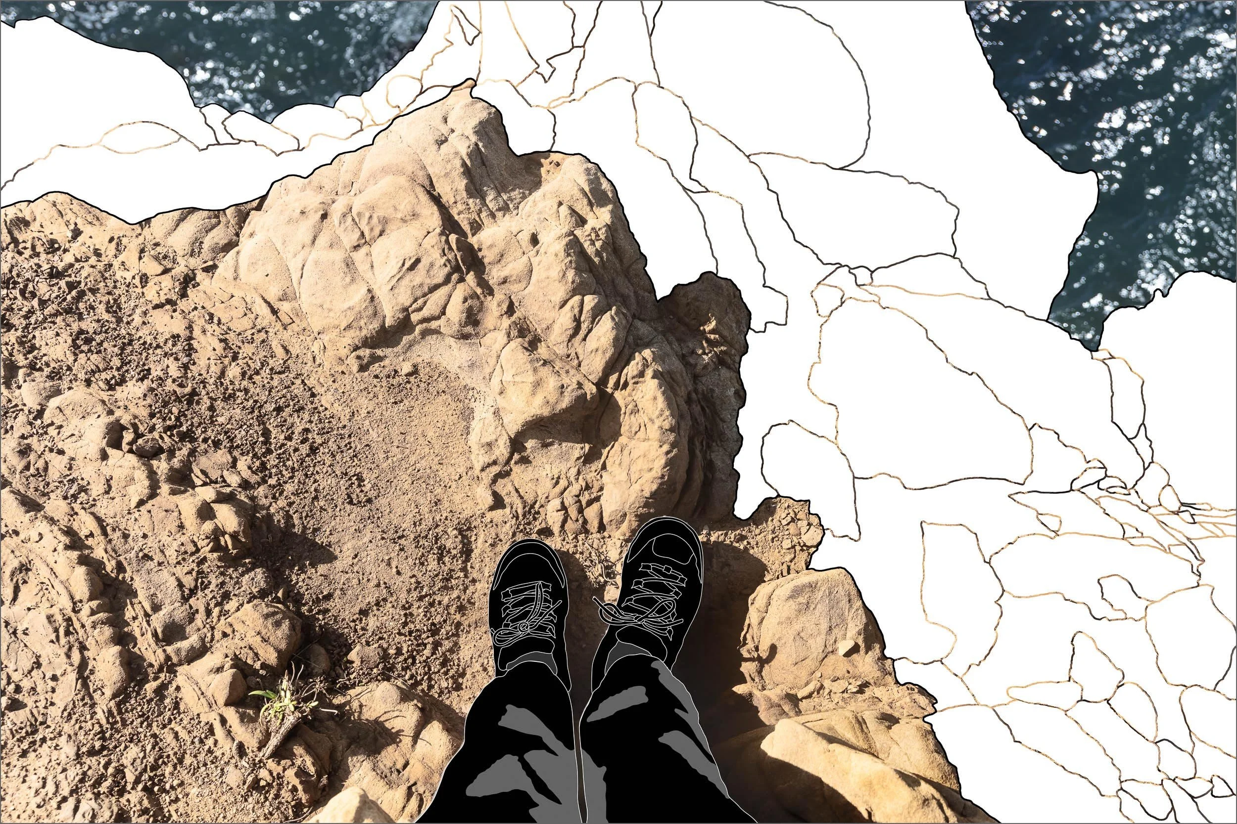
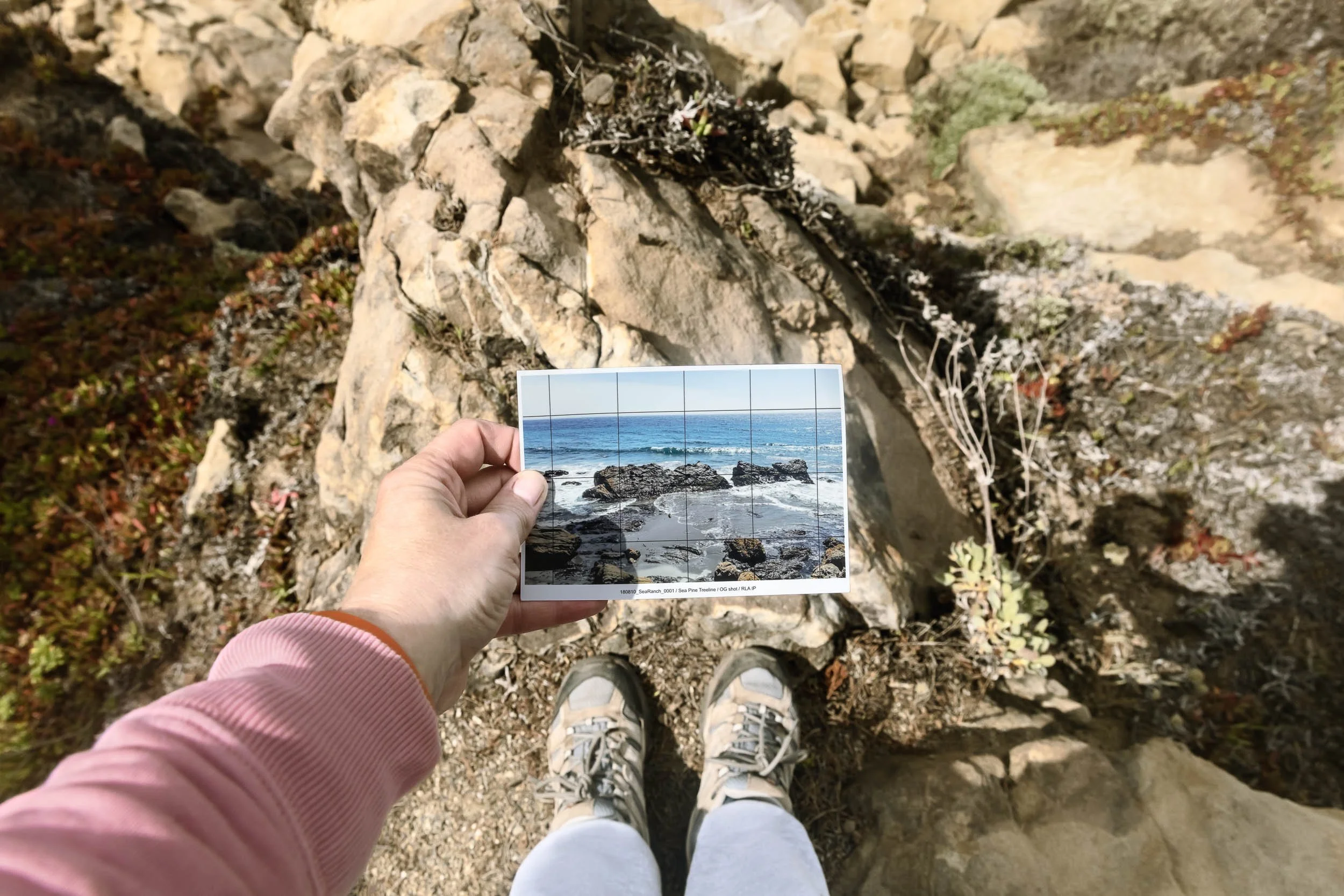
Five years after I began the project my Sea Pine Tree Line location has become a remarkable study in climate change. My reference pictures revealed that the ledge where I stood has slowly decayed from extreme weather events. As it becomes too dangerous to shoot there, I hope the essential site fifty feet above ground level won’t give way and take me down with it.
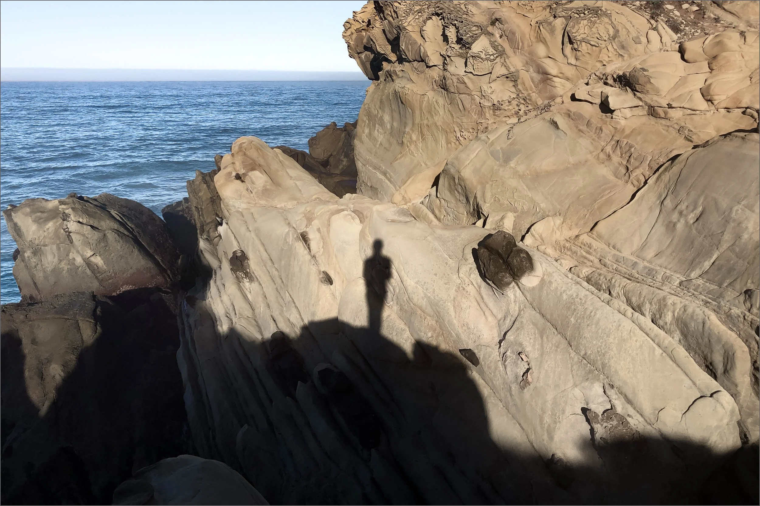
SHADOW TRACE VI LOSS
2026 v. 2020
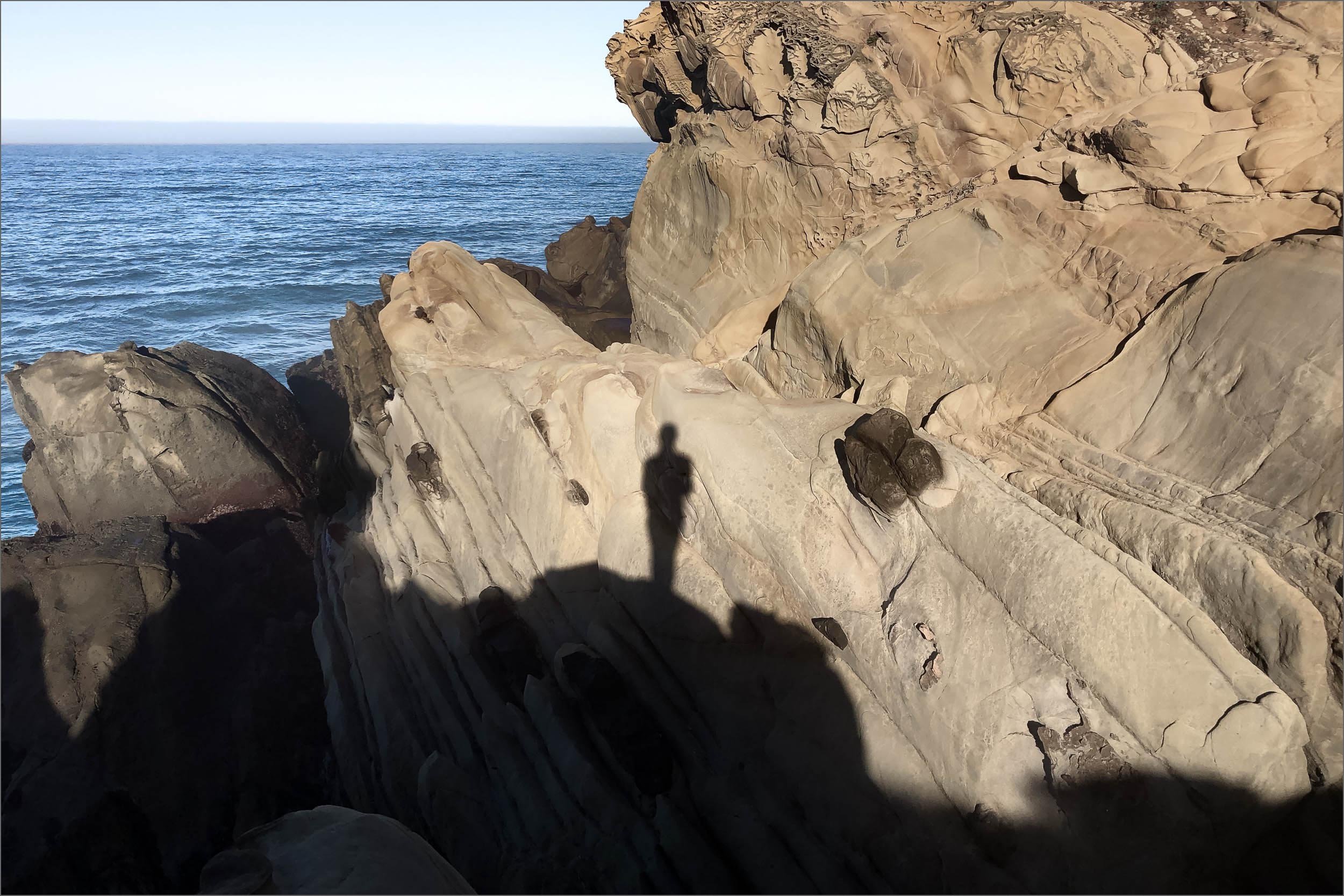
SHADOW TRACE VI LOSS at SEA PINE BLUFFS reveals significant rock loss caused by six years of severe coastal storms. Using the same method developed for TIDAL BLOCK II: LOSING GROUND, a 2026 reference photograph was traced to mark these shifts at this critical location. The outlined areas are layered onto the original 2019 photograph.


SOLSTICE TREE LINE GAME OVER
JULY 2019 v. MARCH 2026
My Return Location Attempts embody the essence of the Intertidal Project. The goal is to capture incarnations of all the tidal levels at each location. Achieving that requires visits to the EXACT same location to repeat the EXACT same composition as the first “target” photograph.
However, recent attempts have become exercises in futility, yielding poor results. At some sites there is nowhere safe left to stand because of damage caused by climate change. Unattainable matches have forced me to abandon locations documented over five years. My heart breaks for the loss of the coastline and the project.
LOSING GROUND SHORT FILM
CLICK TO PLAY