


The Intertidal Project explores time, memory, and place through long-term photographic work along the Sea Ranch coastline. Shaped by tides and light, my practice traces the evolving relationship between presence and landscape through images, mapping, and immersive forms.
As climate change reshapes the coast, the project has collided with environmental loss inspiring the Losing Ground component, asking how to represent what has disappeared and how awareness might emerge through shared experience.
WORKS INCLUDE:
NEW Losing Ground
Return String Map
Tidal Block
Tidal Strata
Tidal Block Strata
Tidal Block String Map
Twilight Strata
Shadow Traces
Ink Traces
Sand Strata
Sunset Strata
Short Films
LOSING GROUND
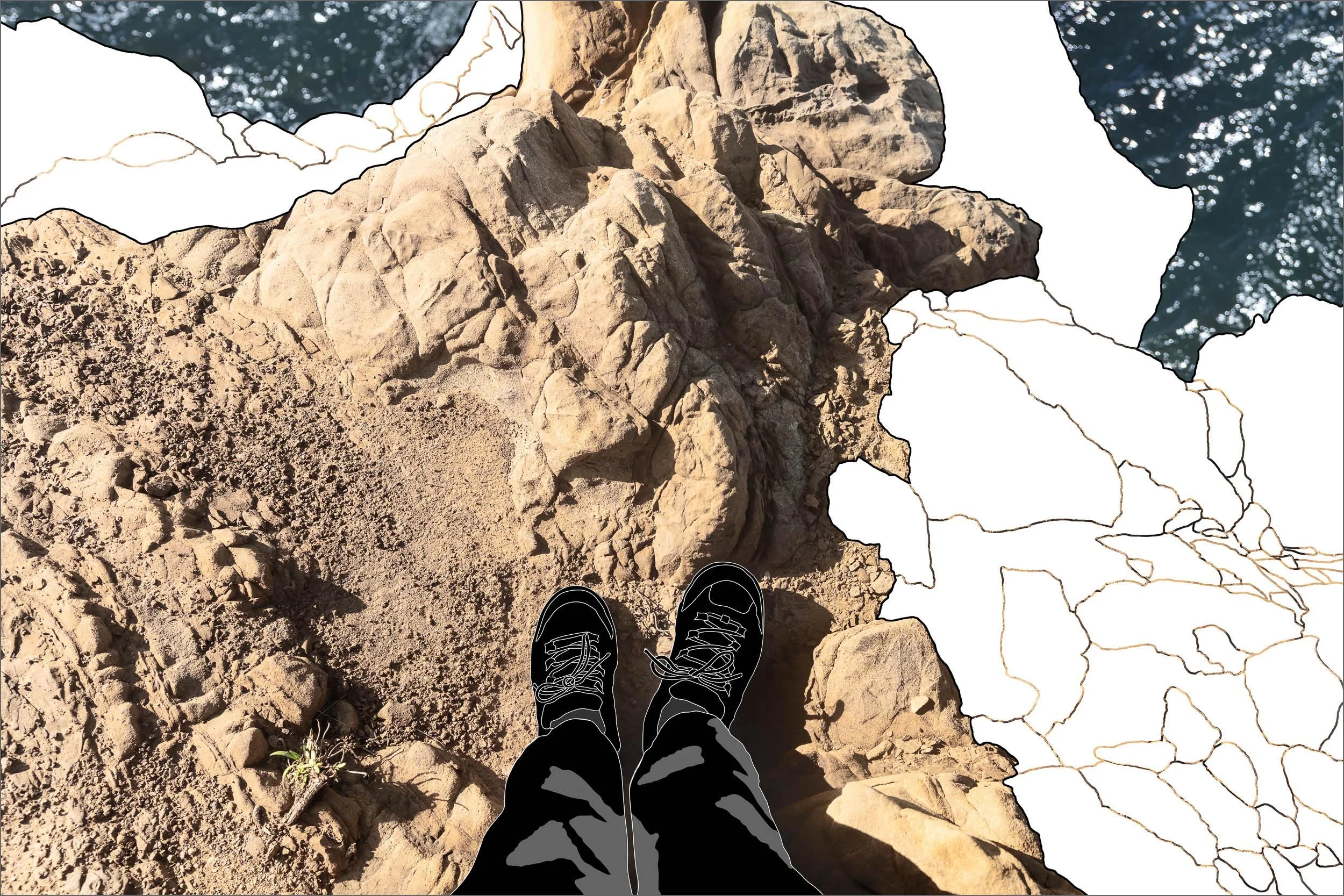
Wild Moor Point Foot Location
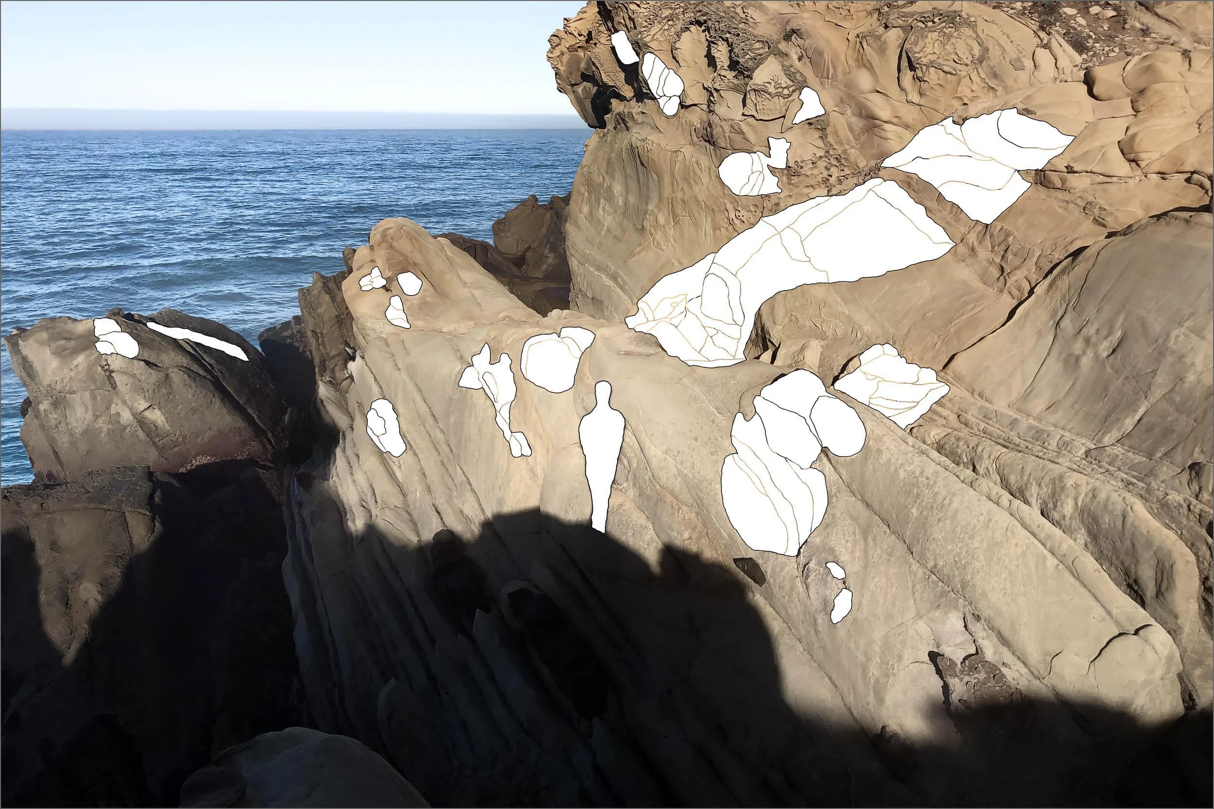
LOSING GROUND
Shadow Trace VI Pine Bluff
RETURN STRING MAP

TIDAL BLOCK
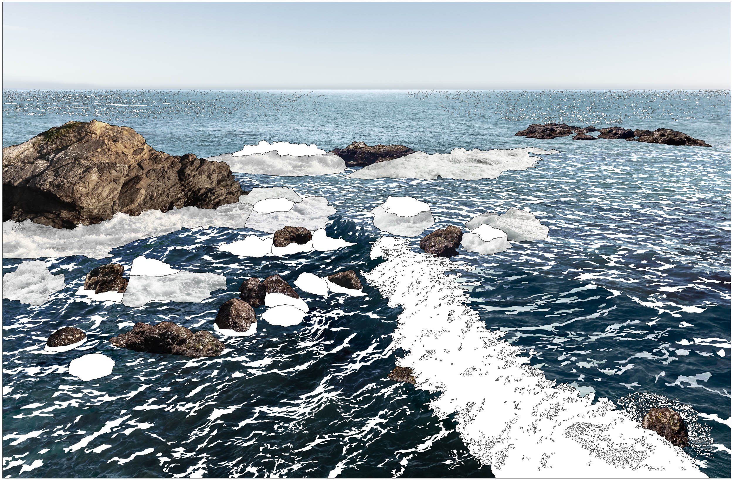
TIDAL STRATA

TIDAL BLOCK STRATA

TIDAL BLOCK STRING MAP

TWILIGHT STRATA

SHADOW TRACES

INK TRACES

SAND STRATA

SUNSET STRATA
