

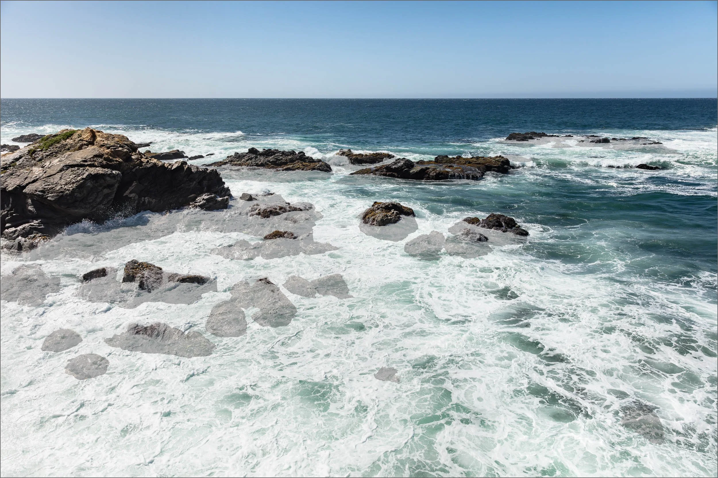
TIDAL STRATA
I returned to Wild Moor Point forty times over four years to create the TIDAL BLOCK picture. The frames of tidal levels mapped the imprinted memories between the rocks, waves, and me. Fascinated with the accumulation of time, I crafted the TIDAL STRATA picture to relay the depth of our experience together.
ONLY 11,000 FRAMES
Clearly there was no quick, easy way to shoot matching frames for my endeavor, nor an existing method to follow. So, I built one. To align shots captured over forty days, I created a reference photo that mirrored the viewfinder grid. Using guidelines and foot markers, I photographed the spot with the fervor of a long-lost love, eventually cataloging over 11,000 frames that revealed each incarnation of rocks and water.
RETURN LOCATION ATTEMPTS


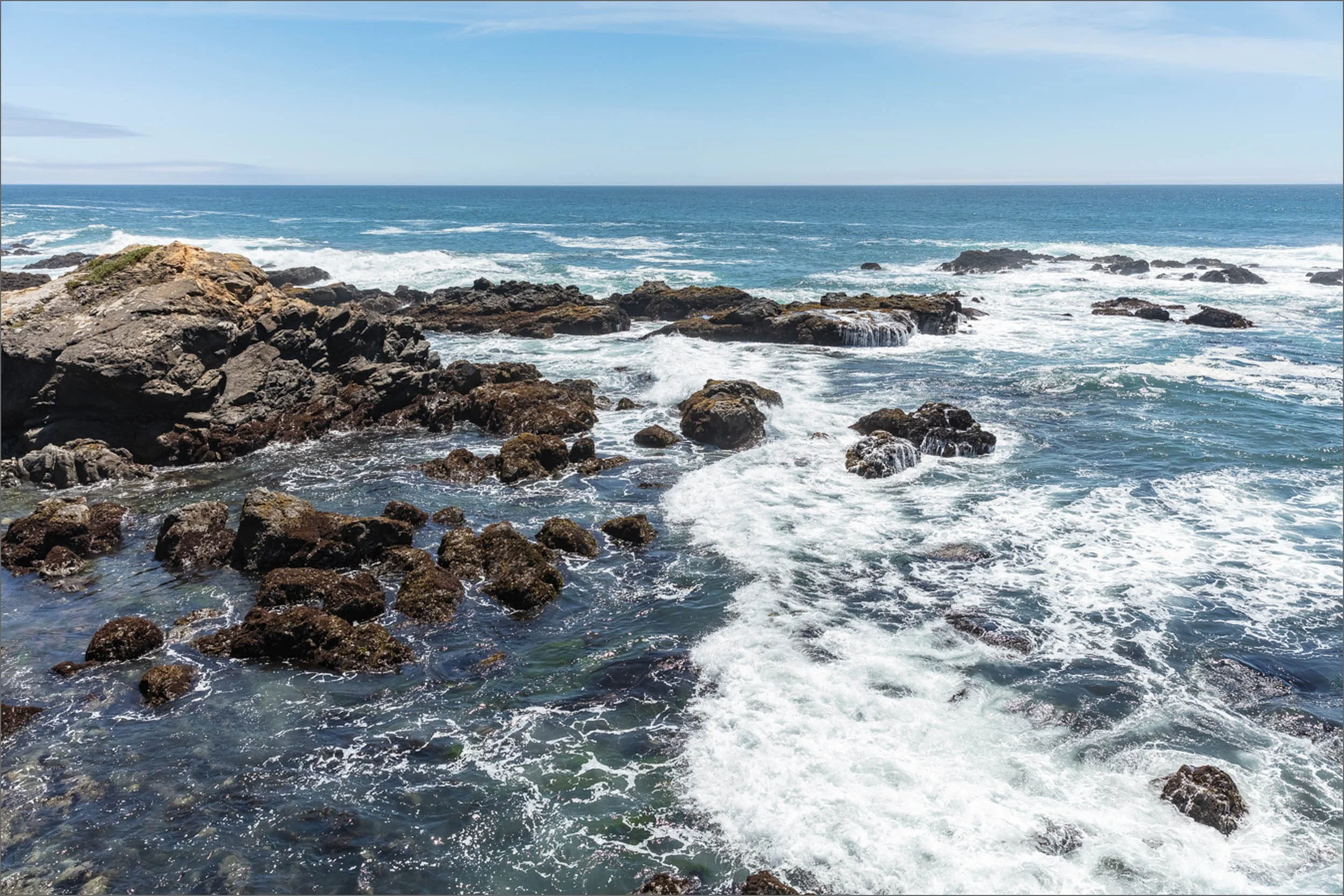


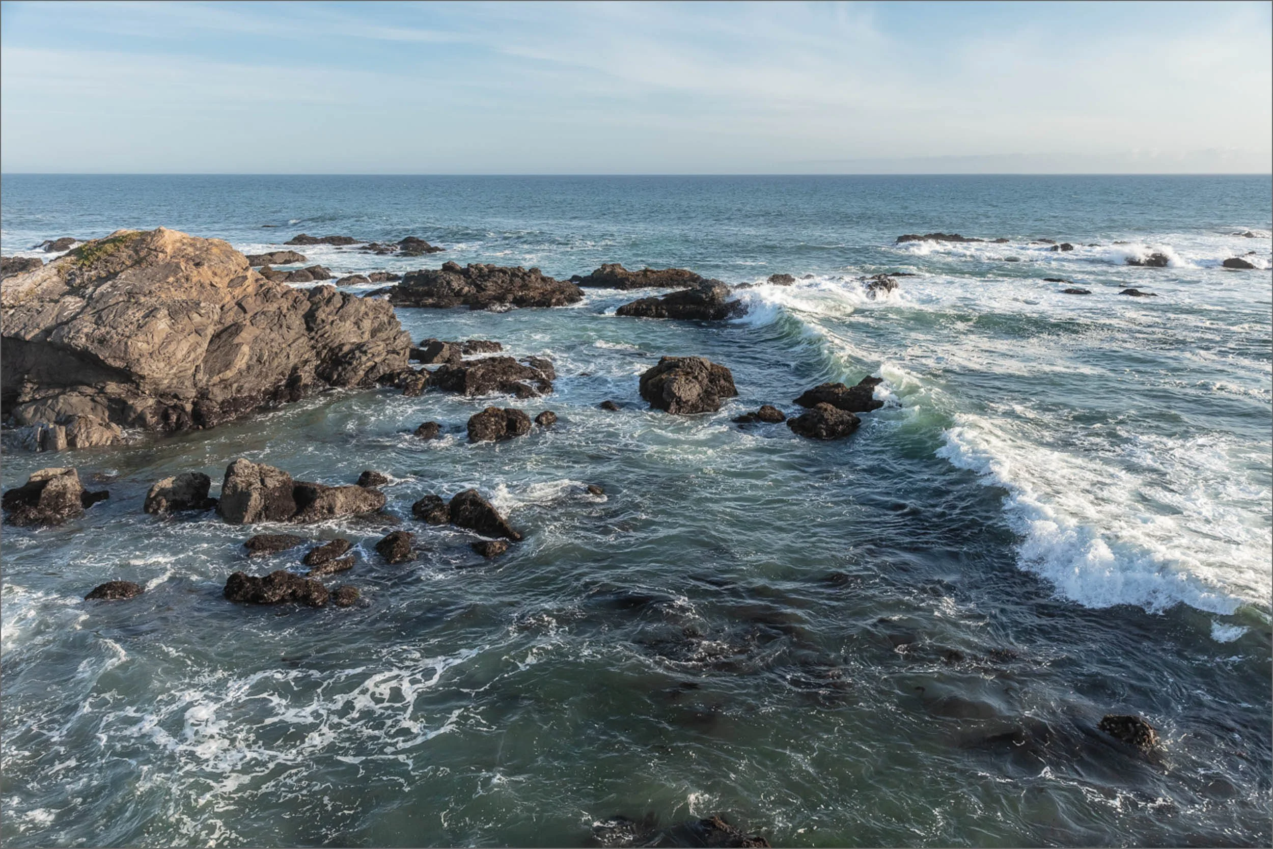


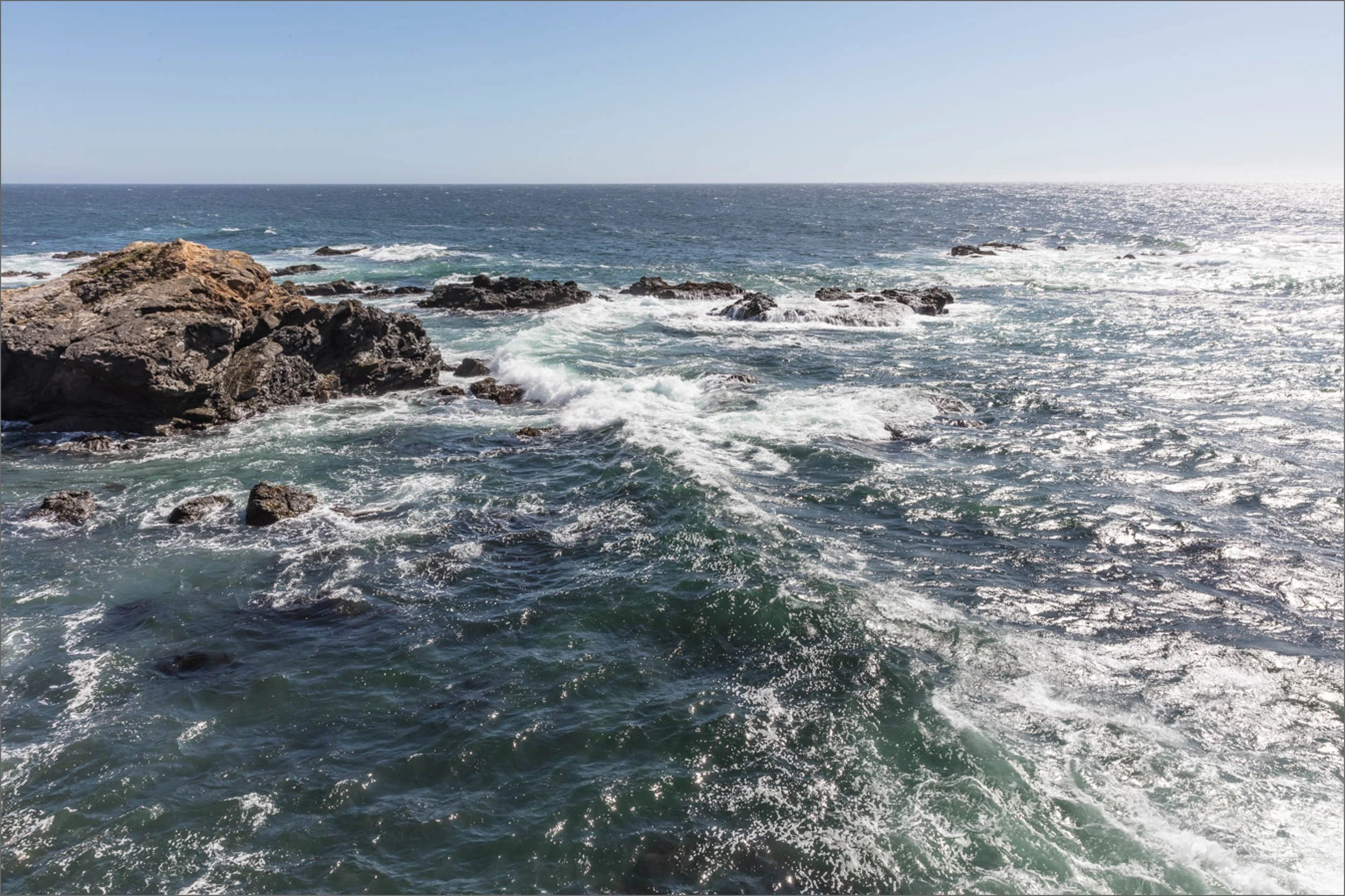


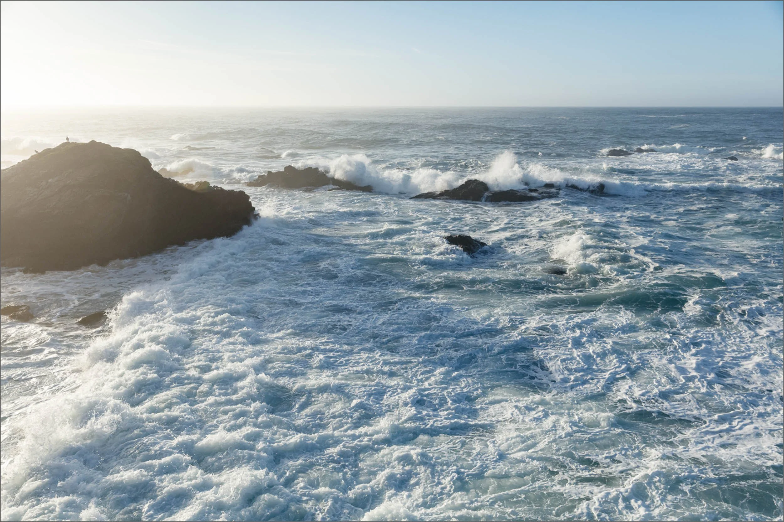
WILD MOOR POINT | 2018 - 2022
40 Days over 4 years. 11,000 frames. One picture.