
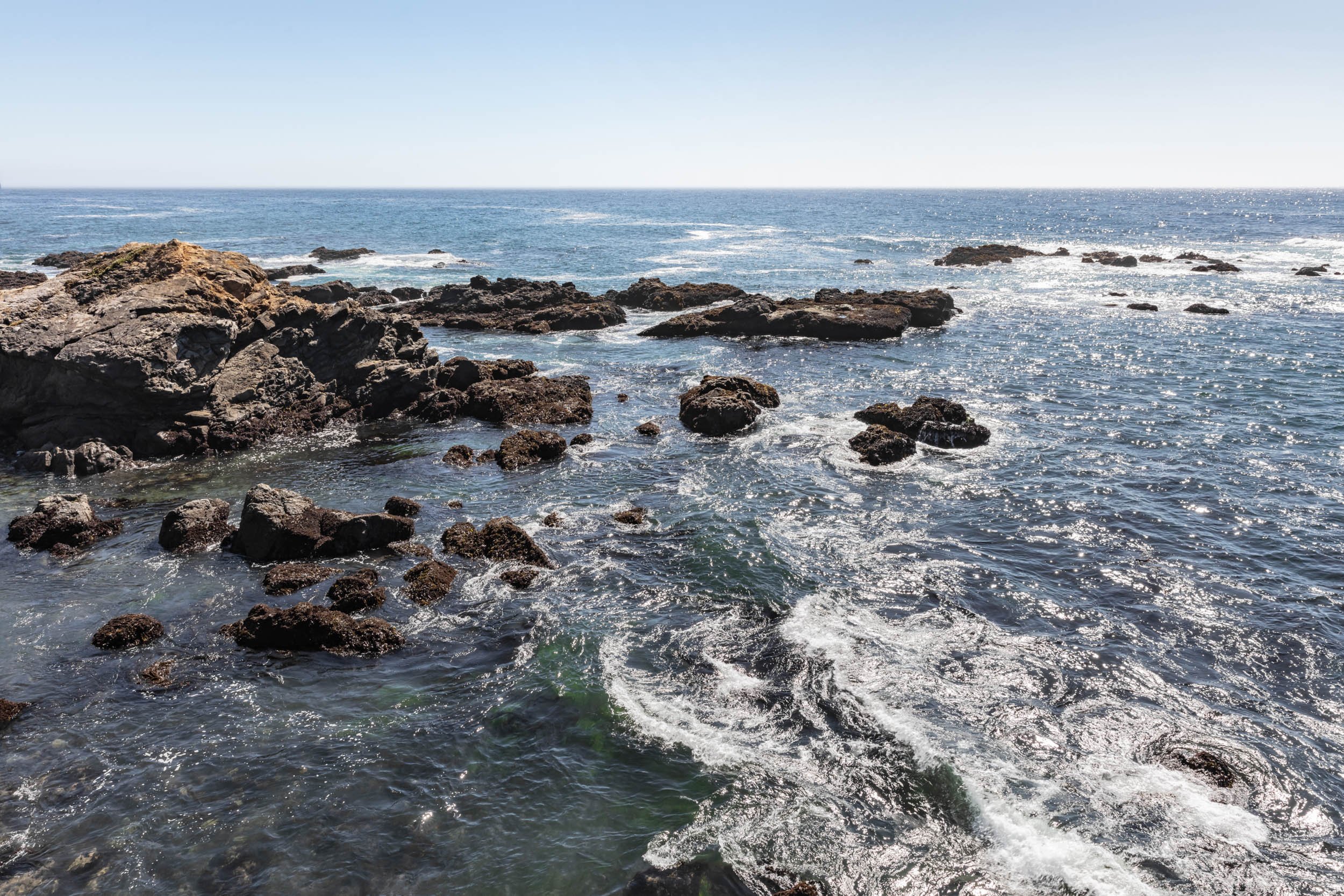
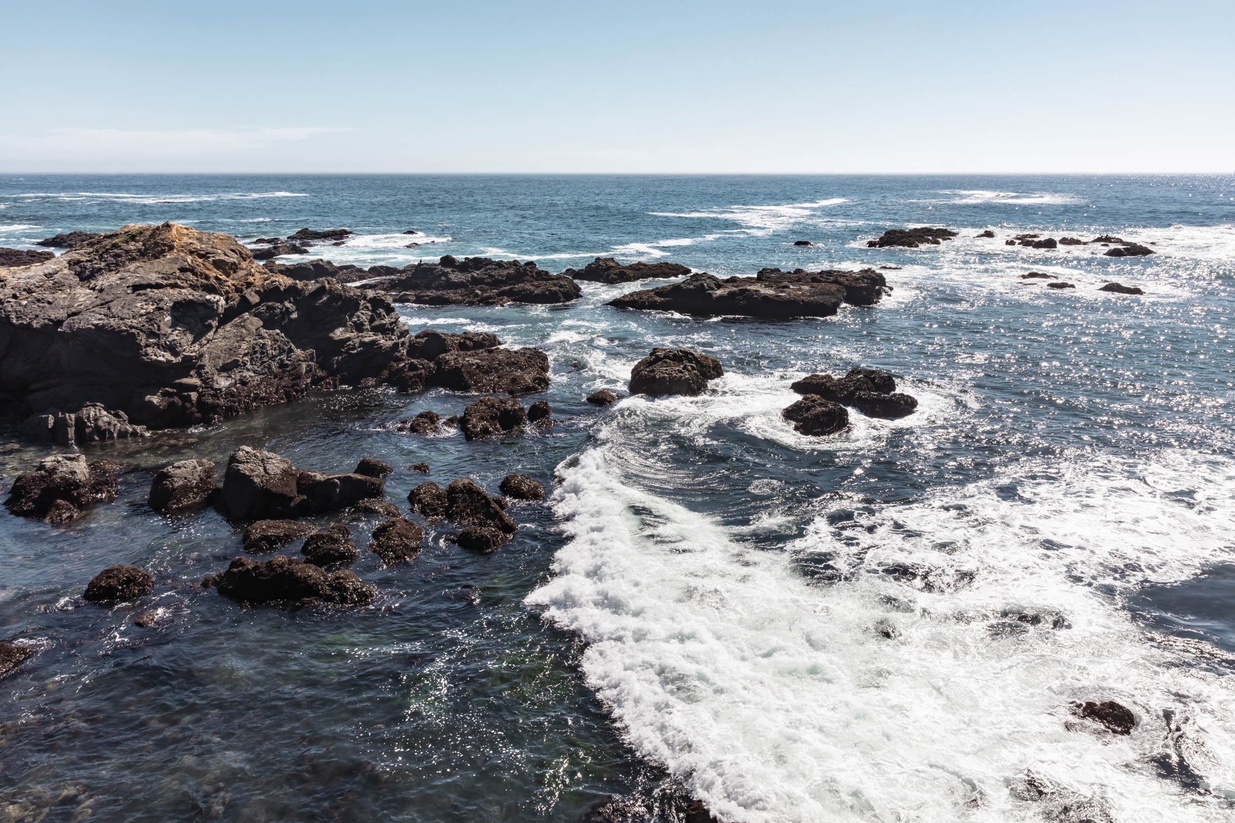
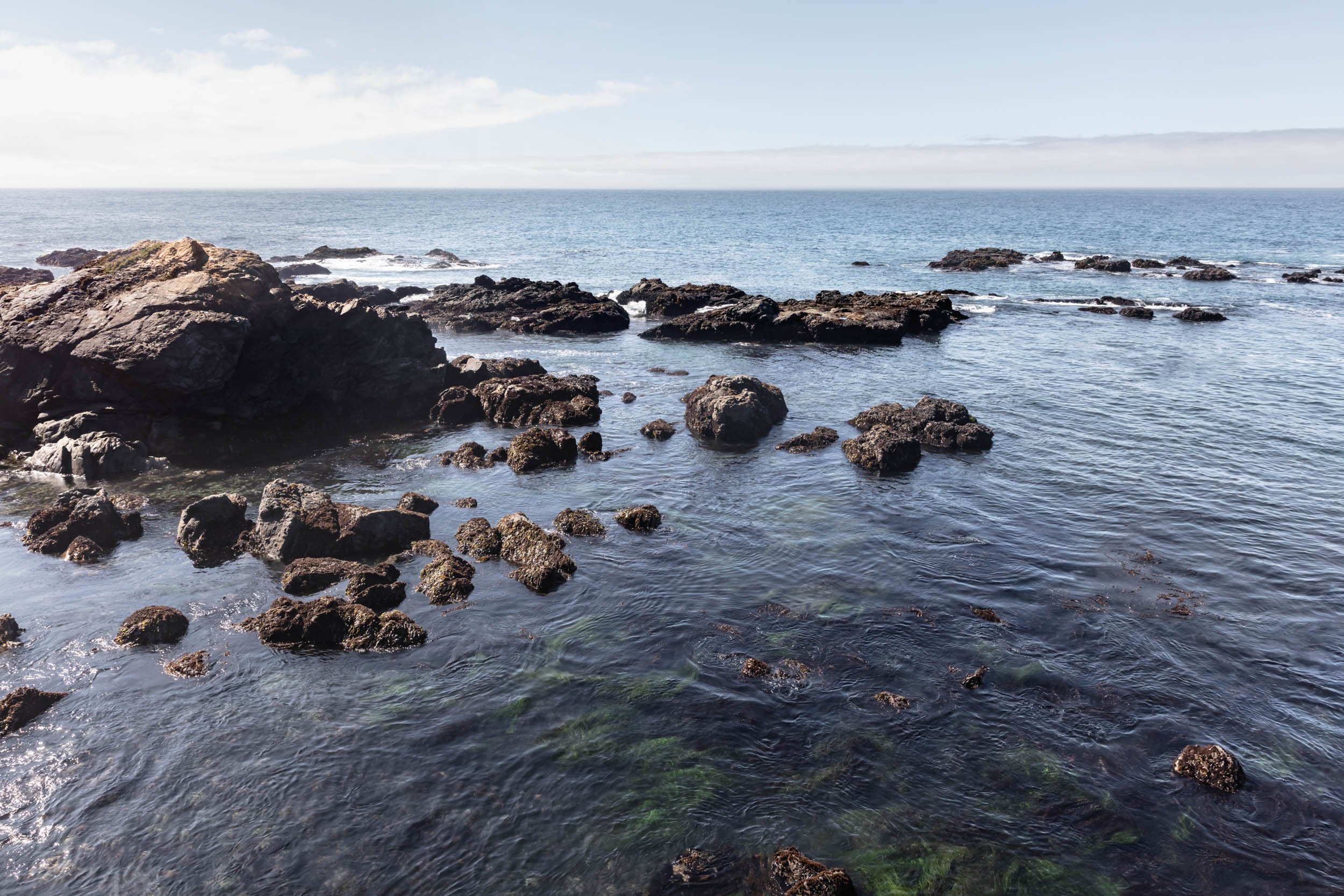
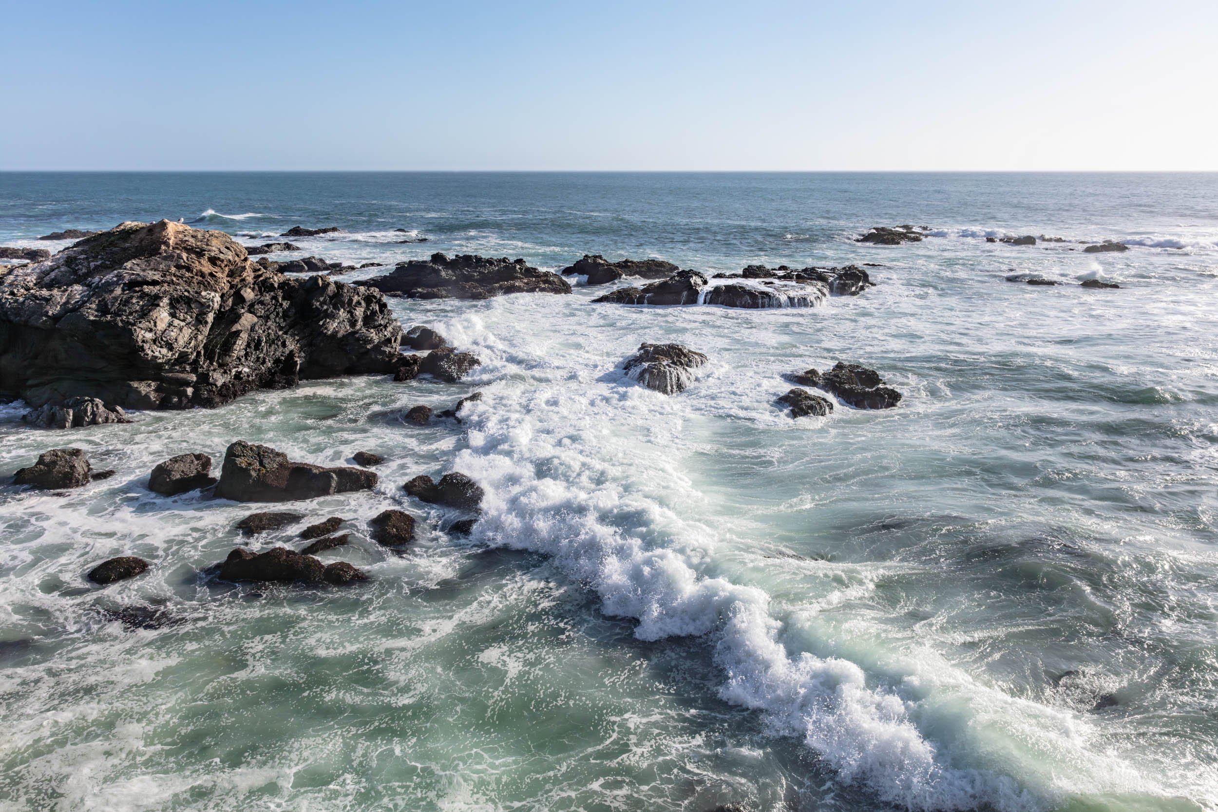
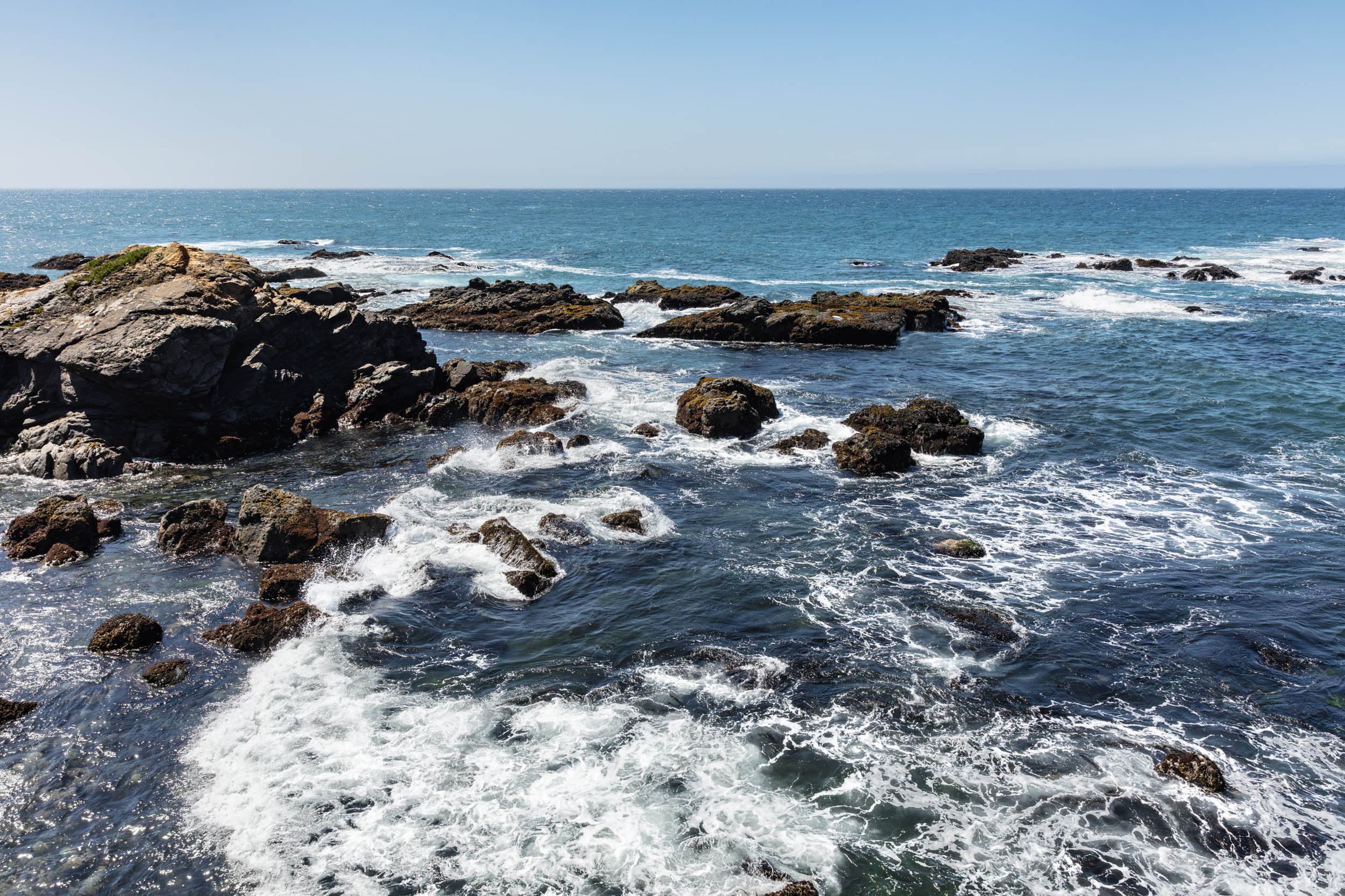
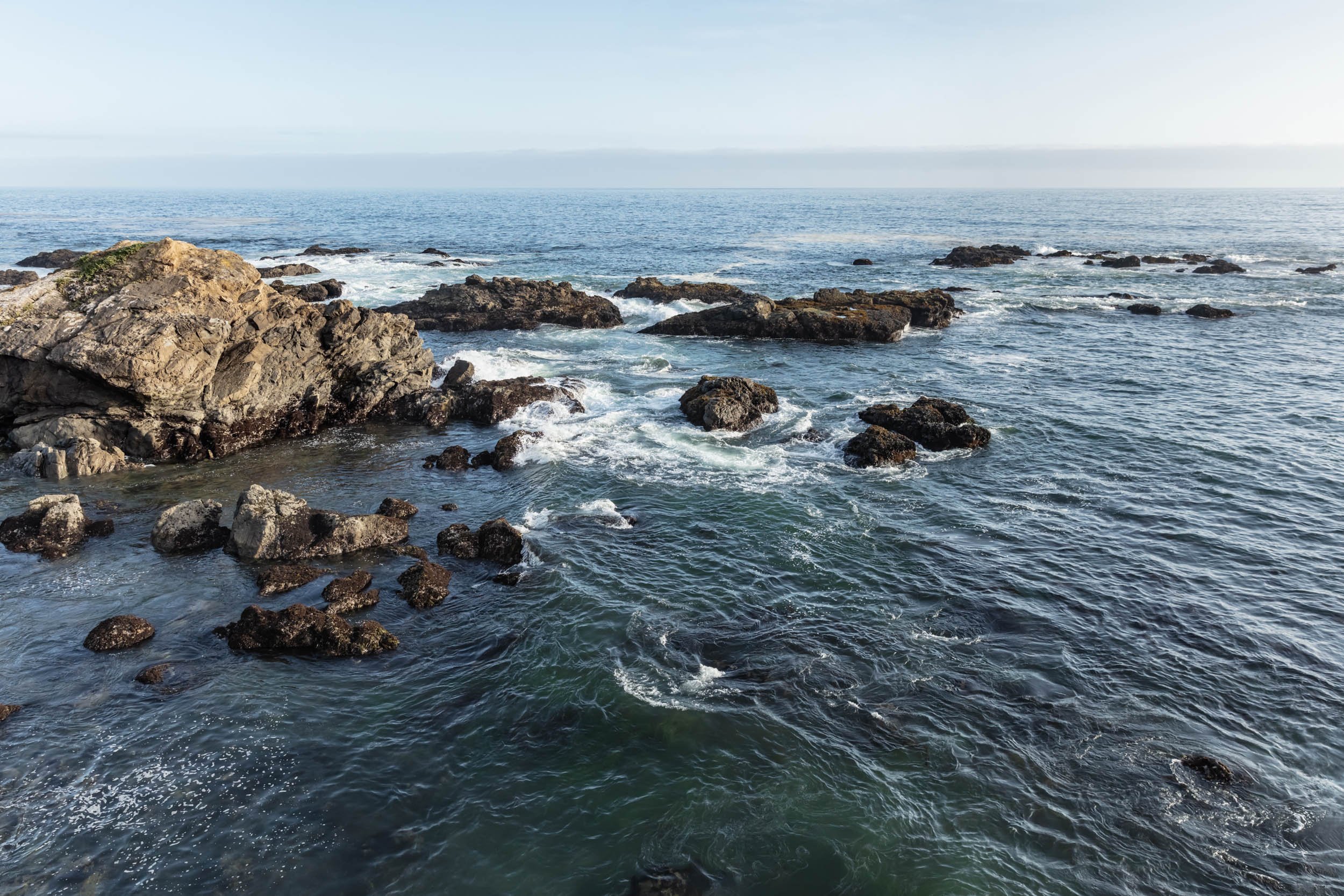
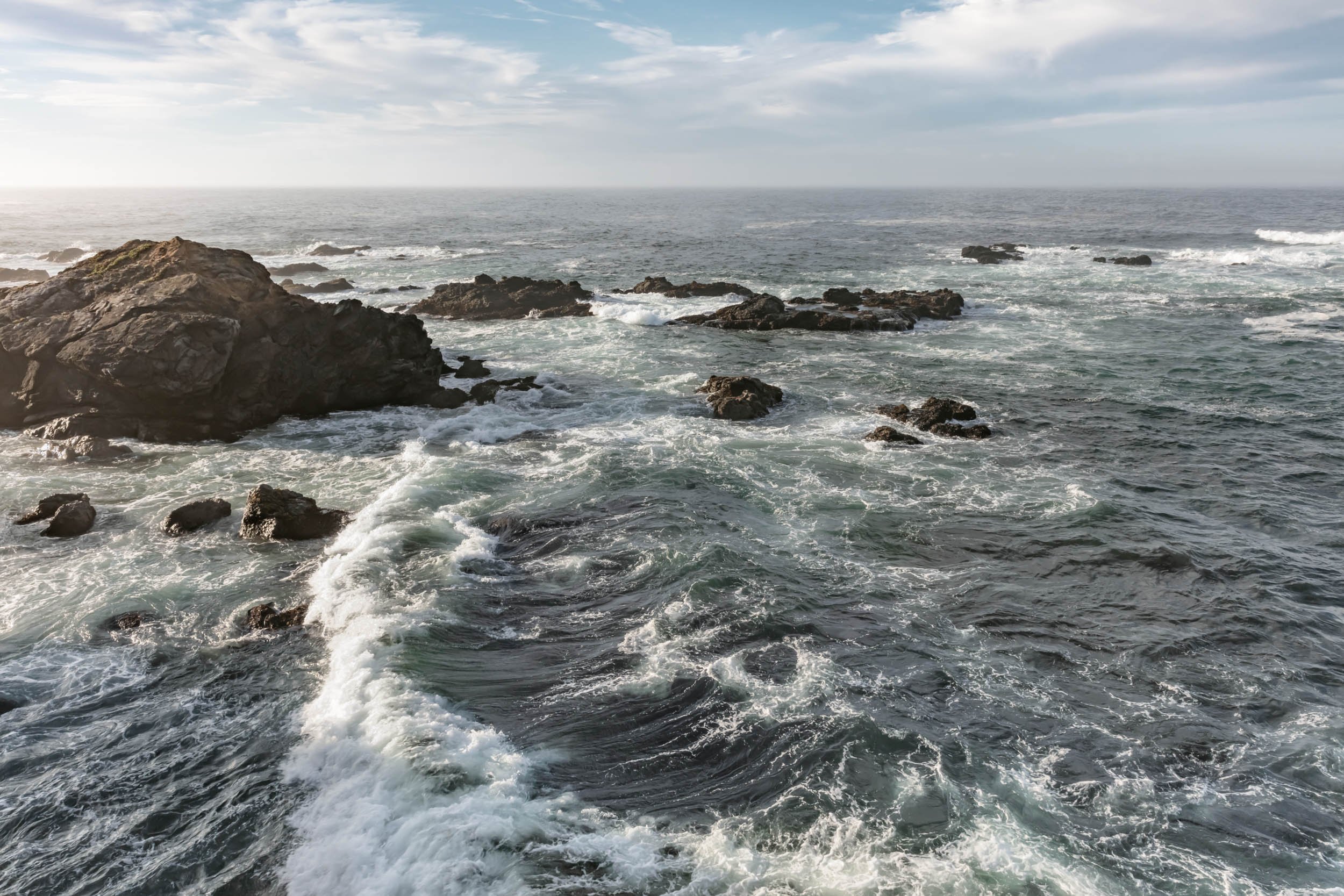
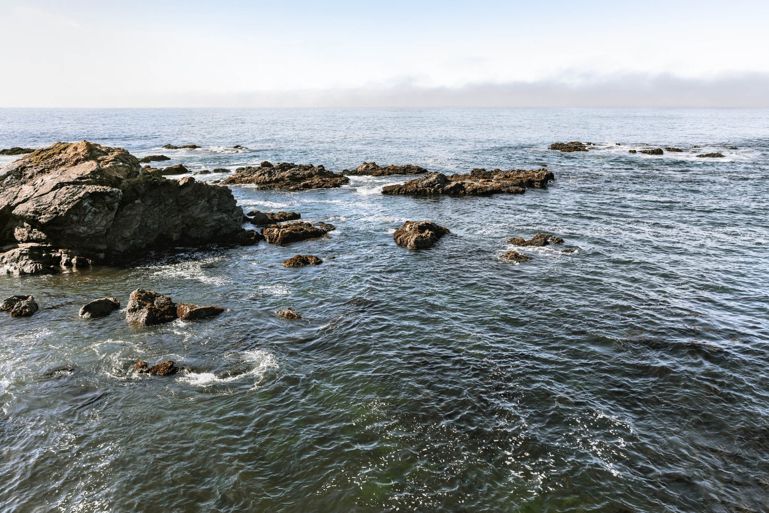
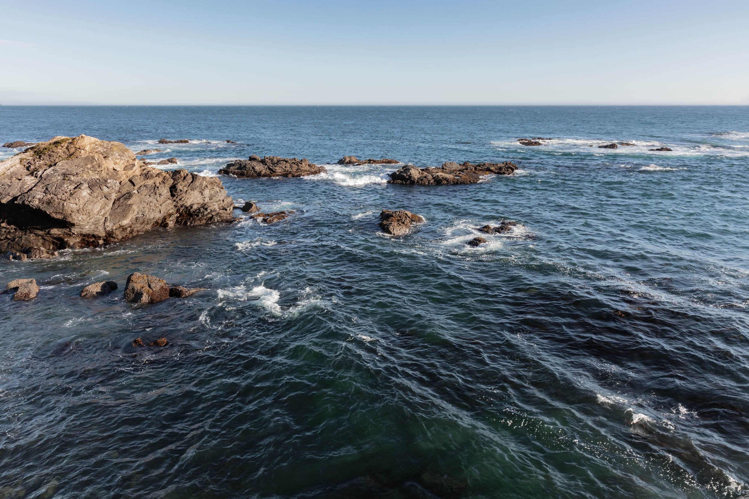
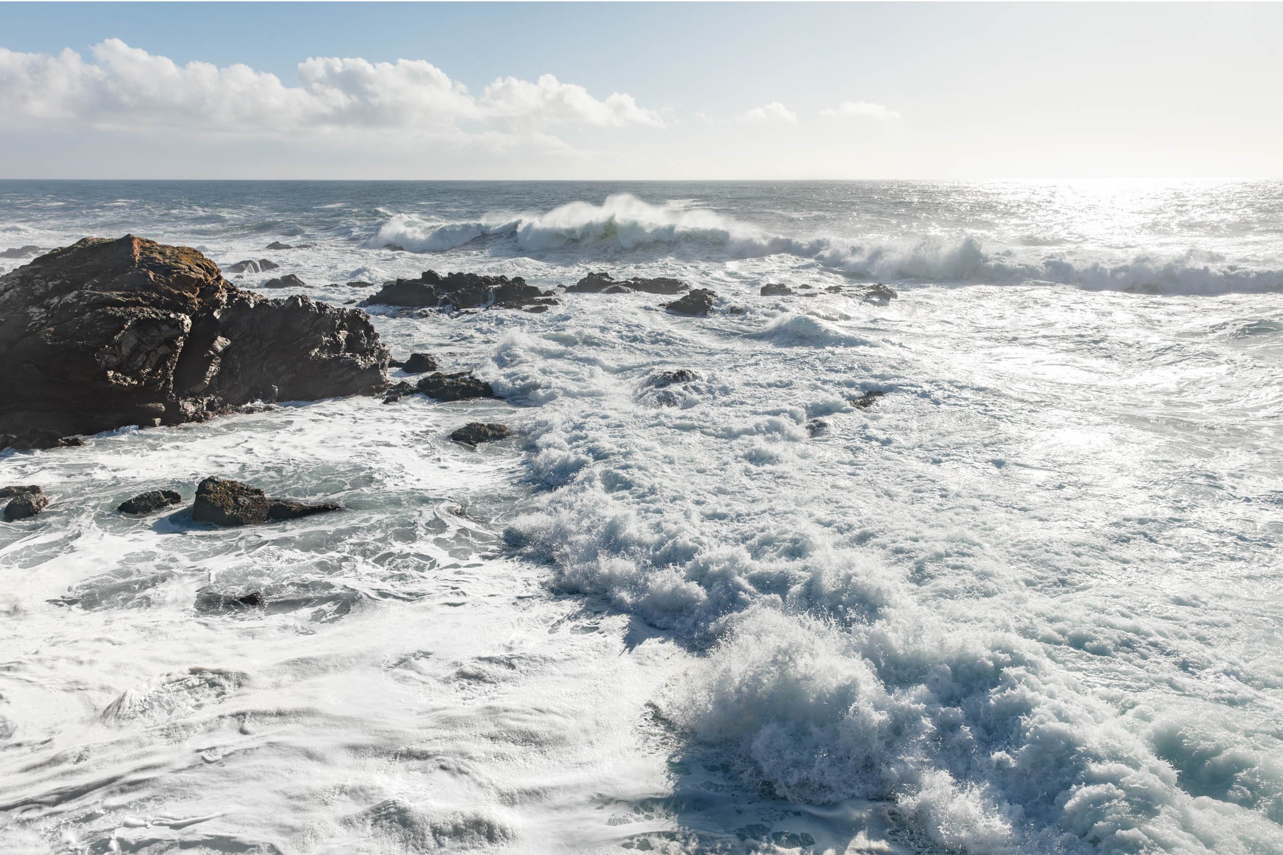
TIDAL STRATA


EVEN WATER NEEDS A MAP
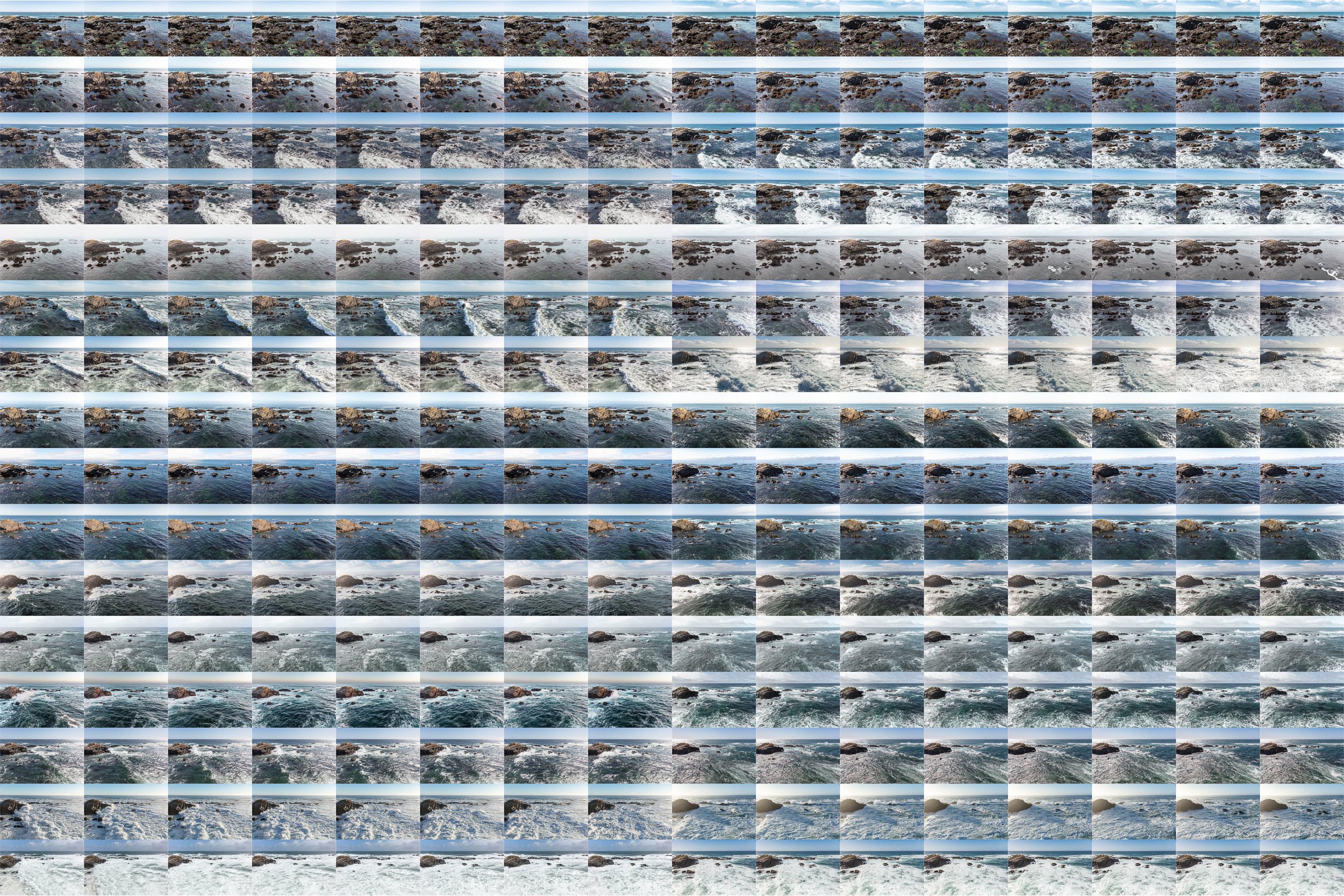
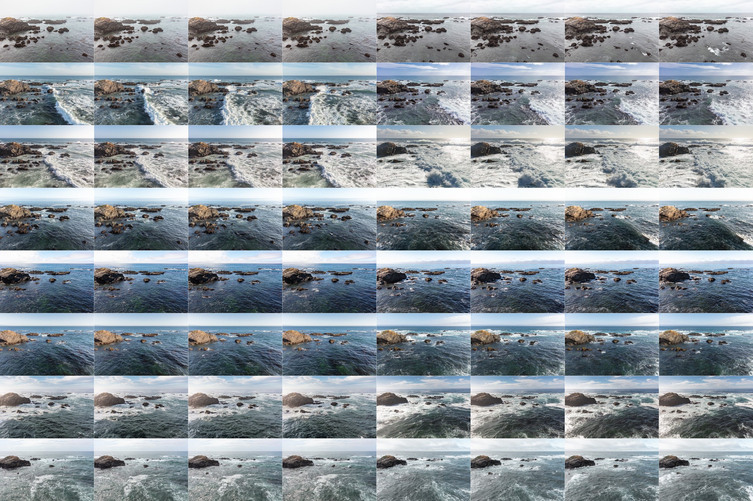
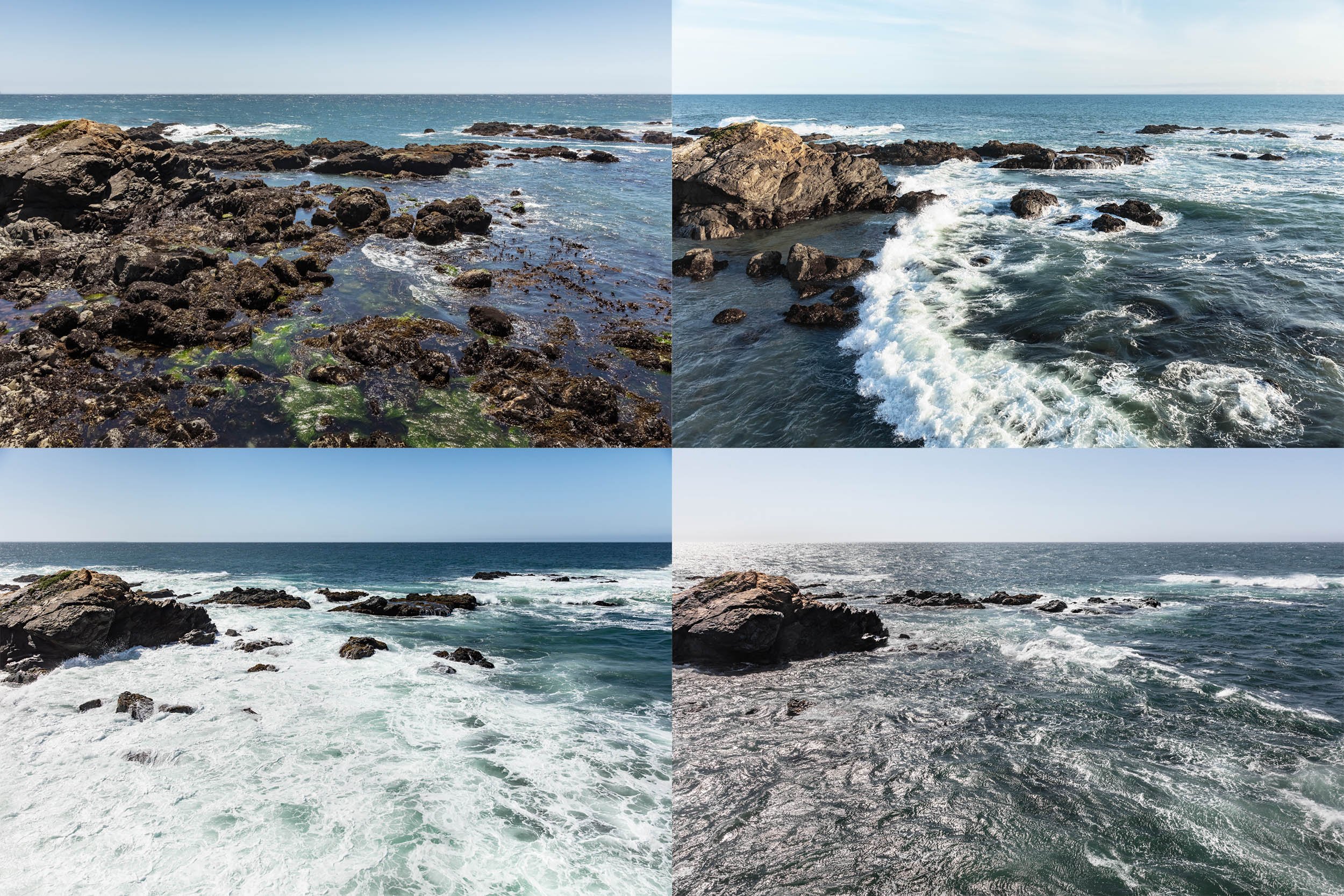
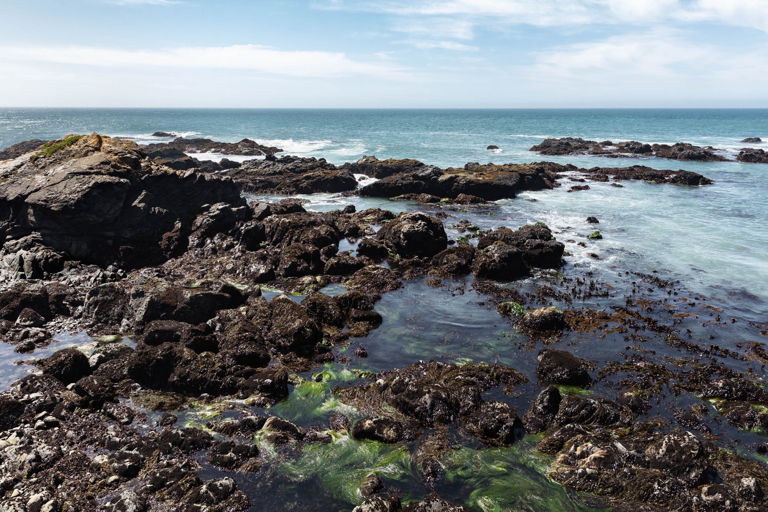
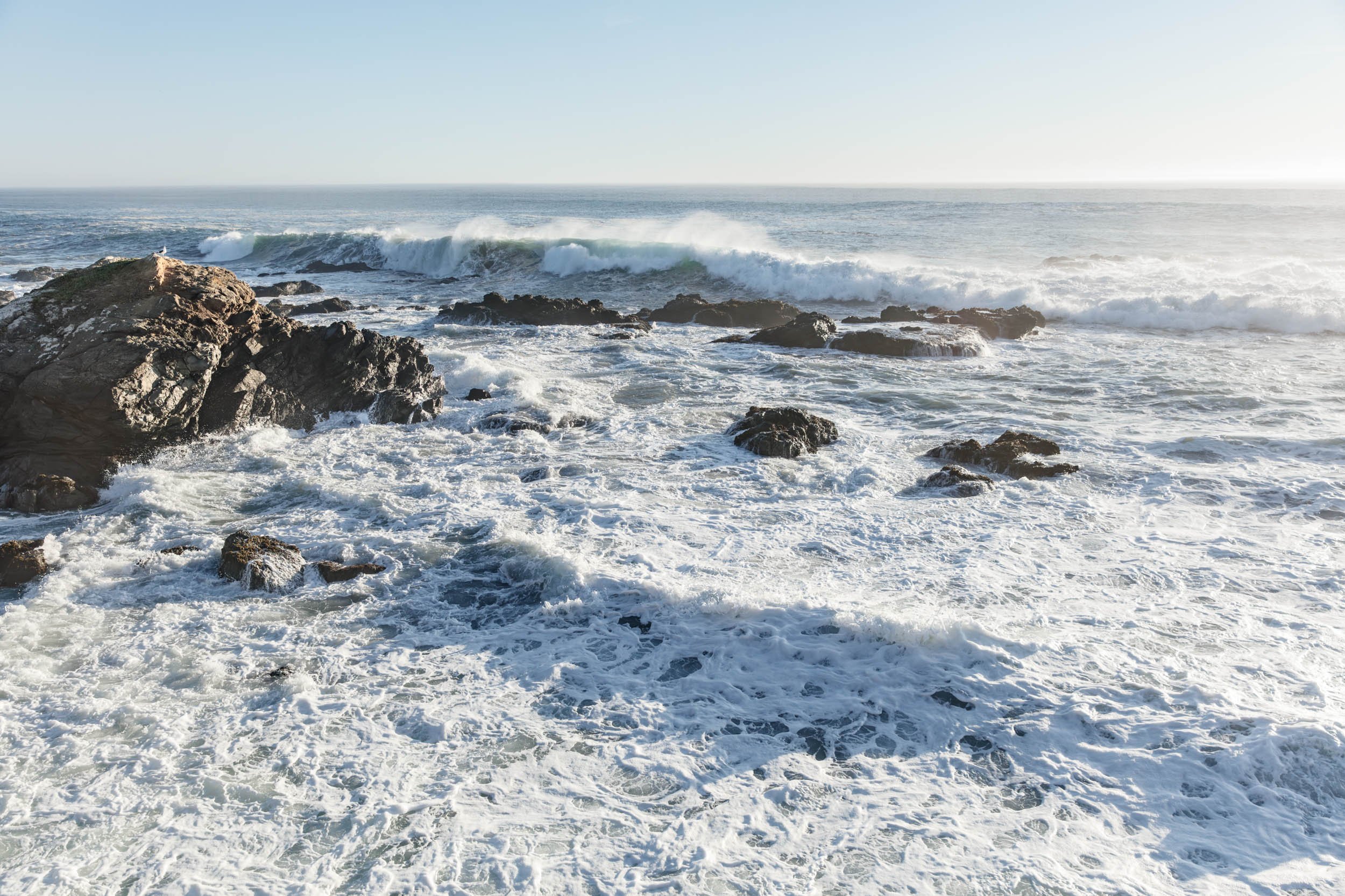
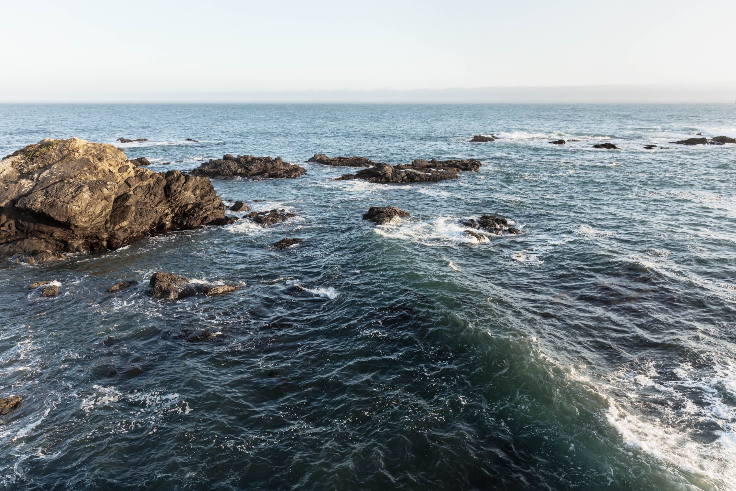
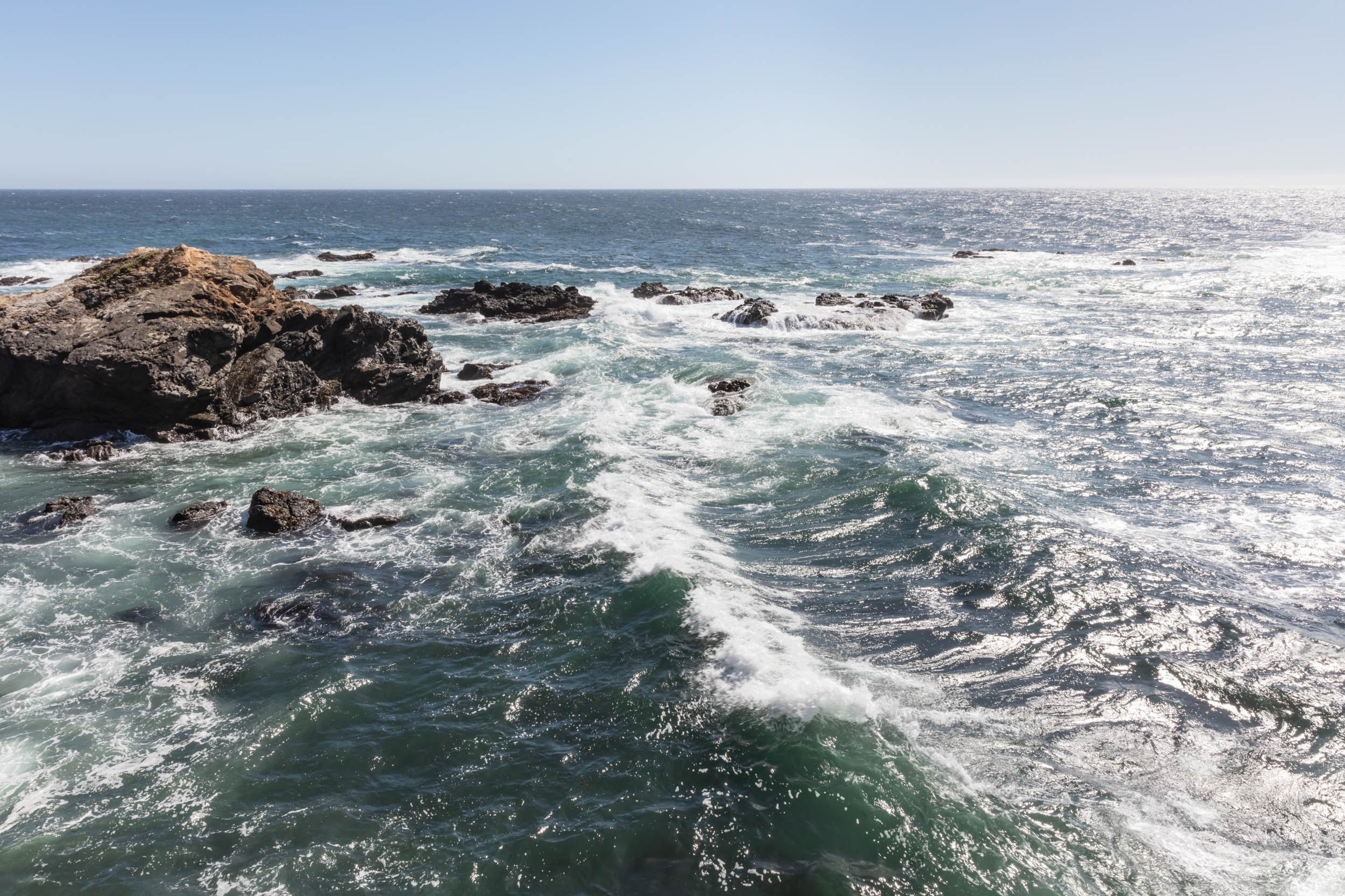
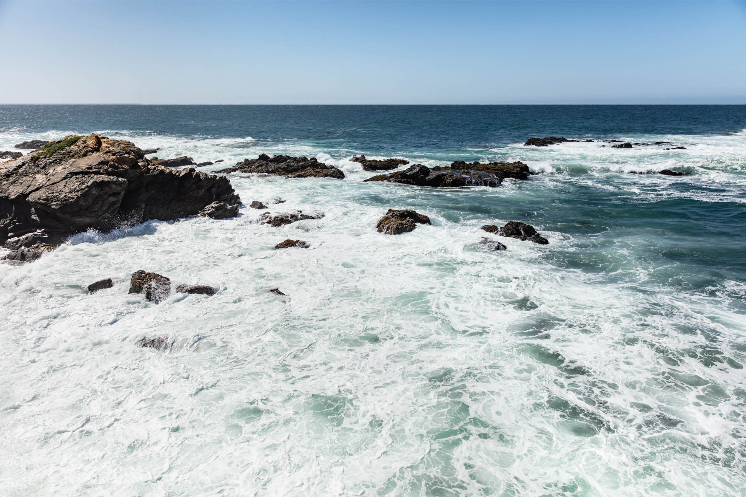
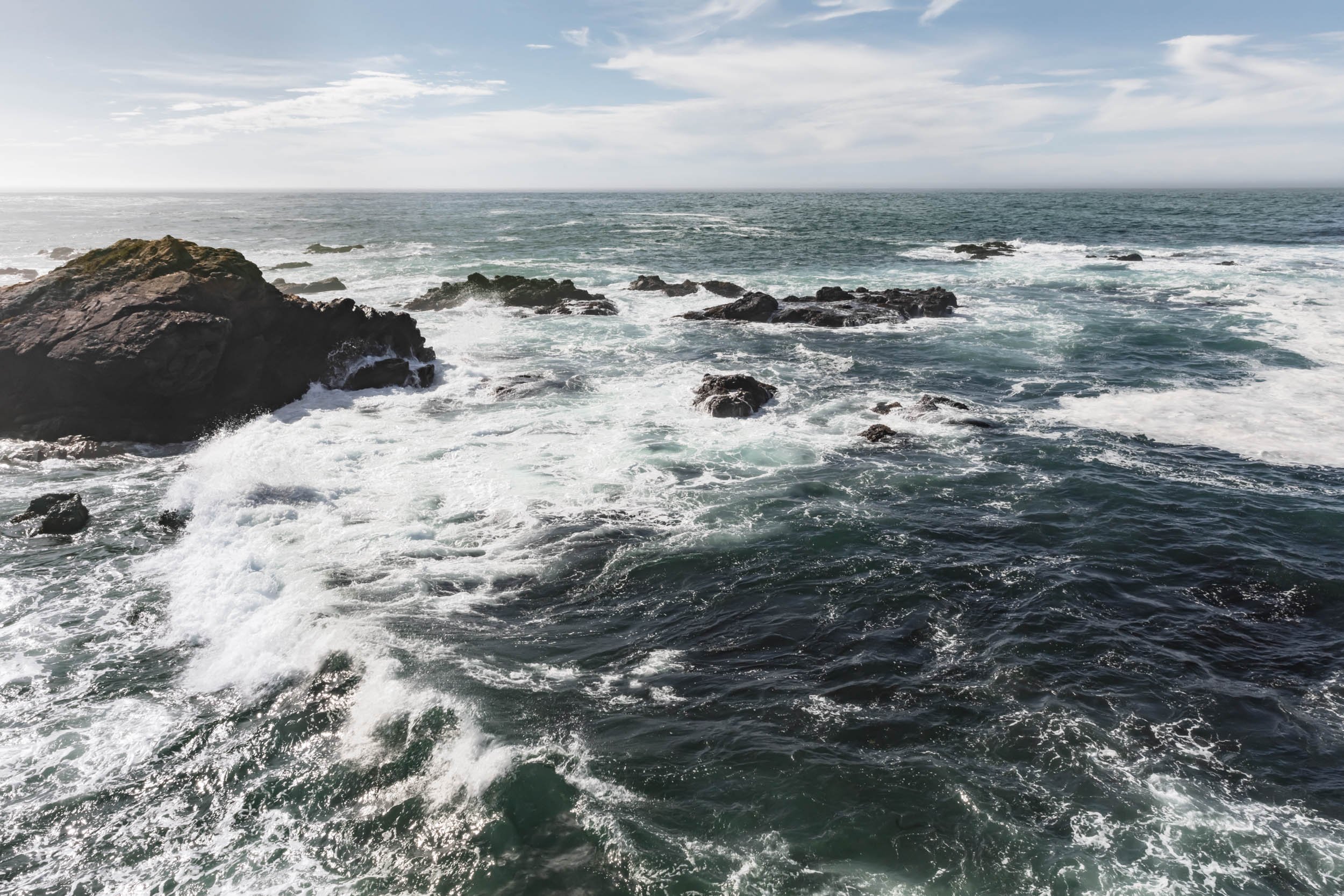
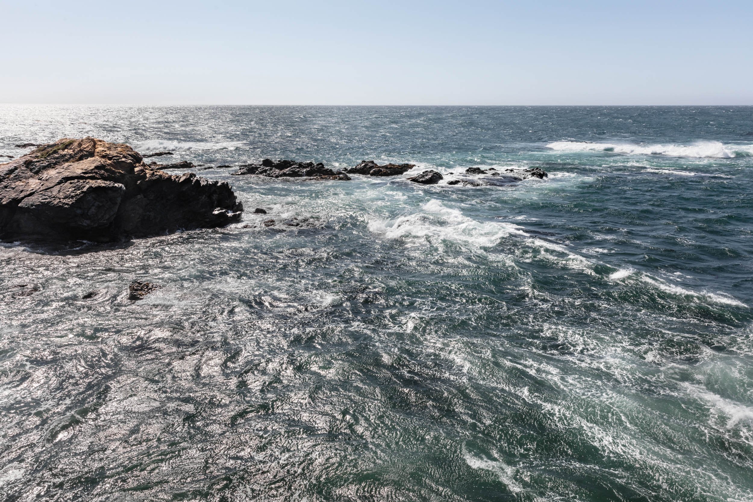
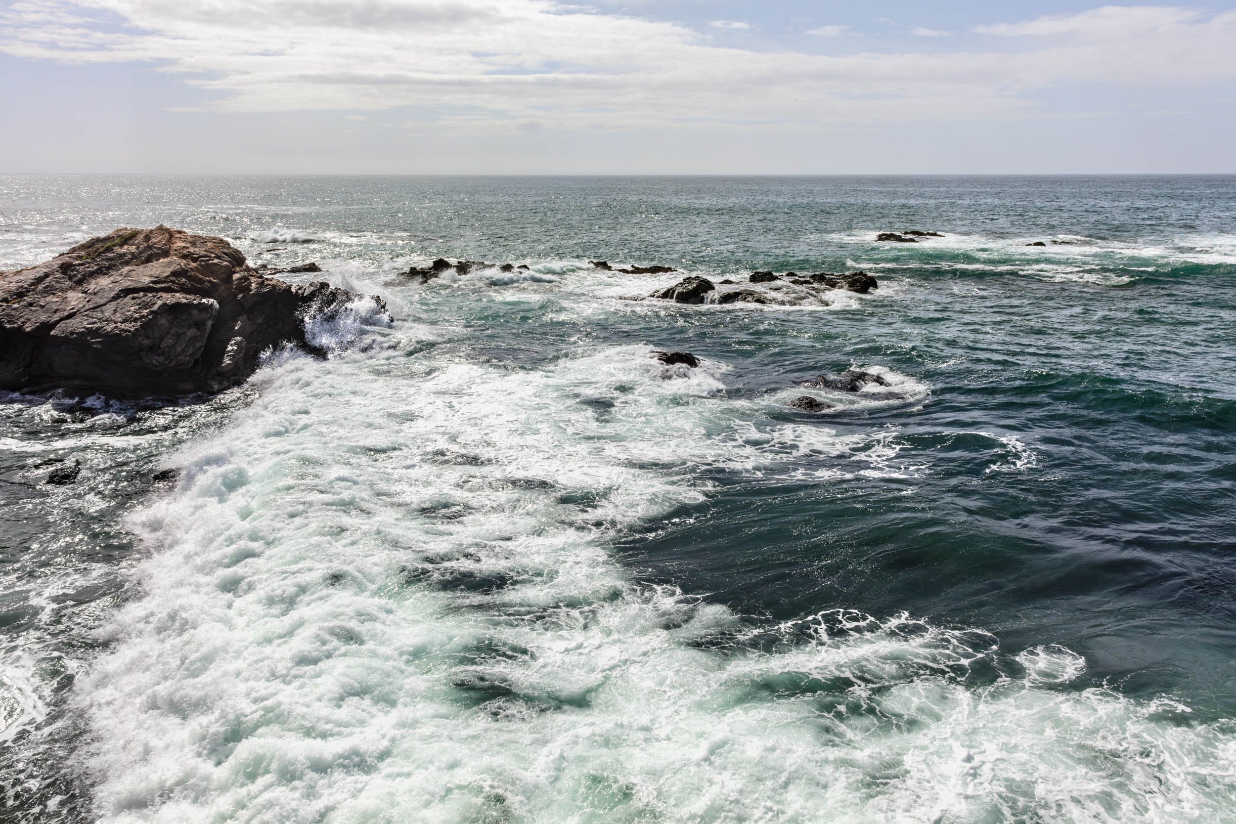
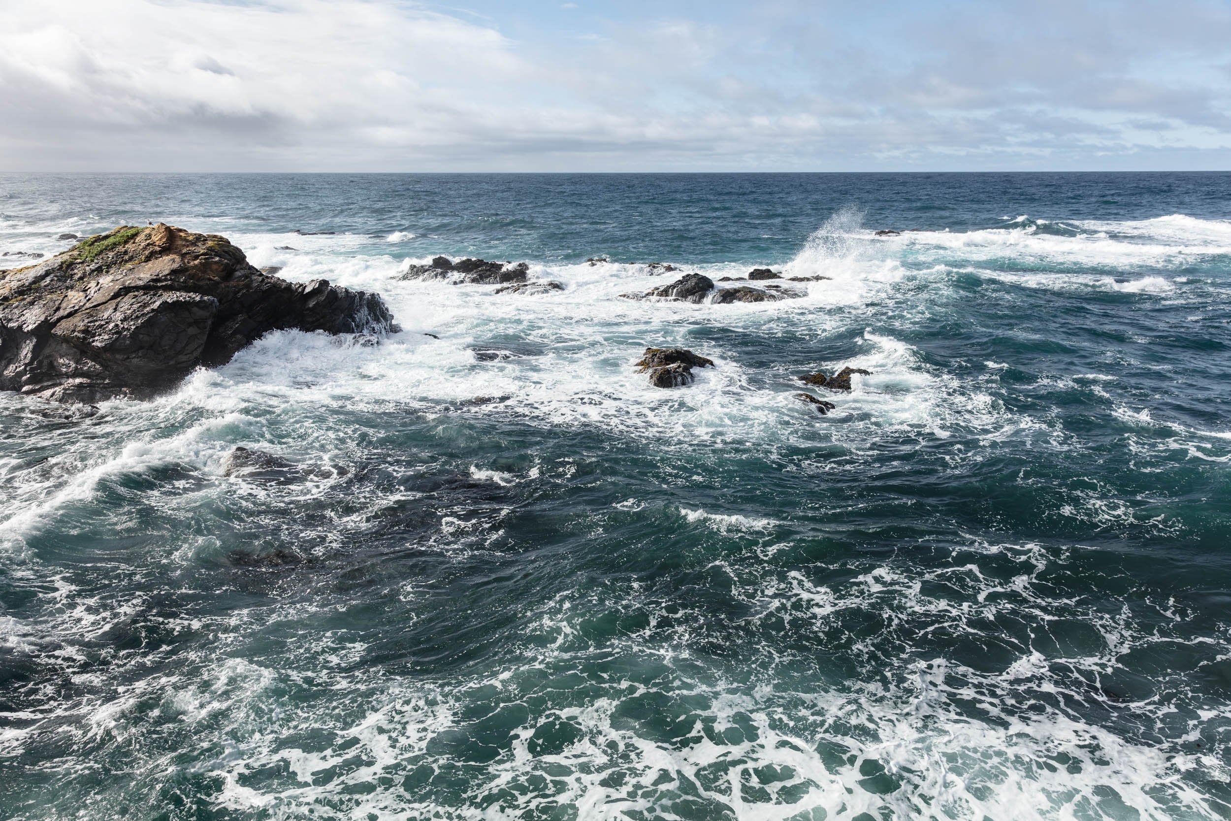
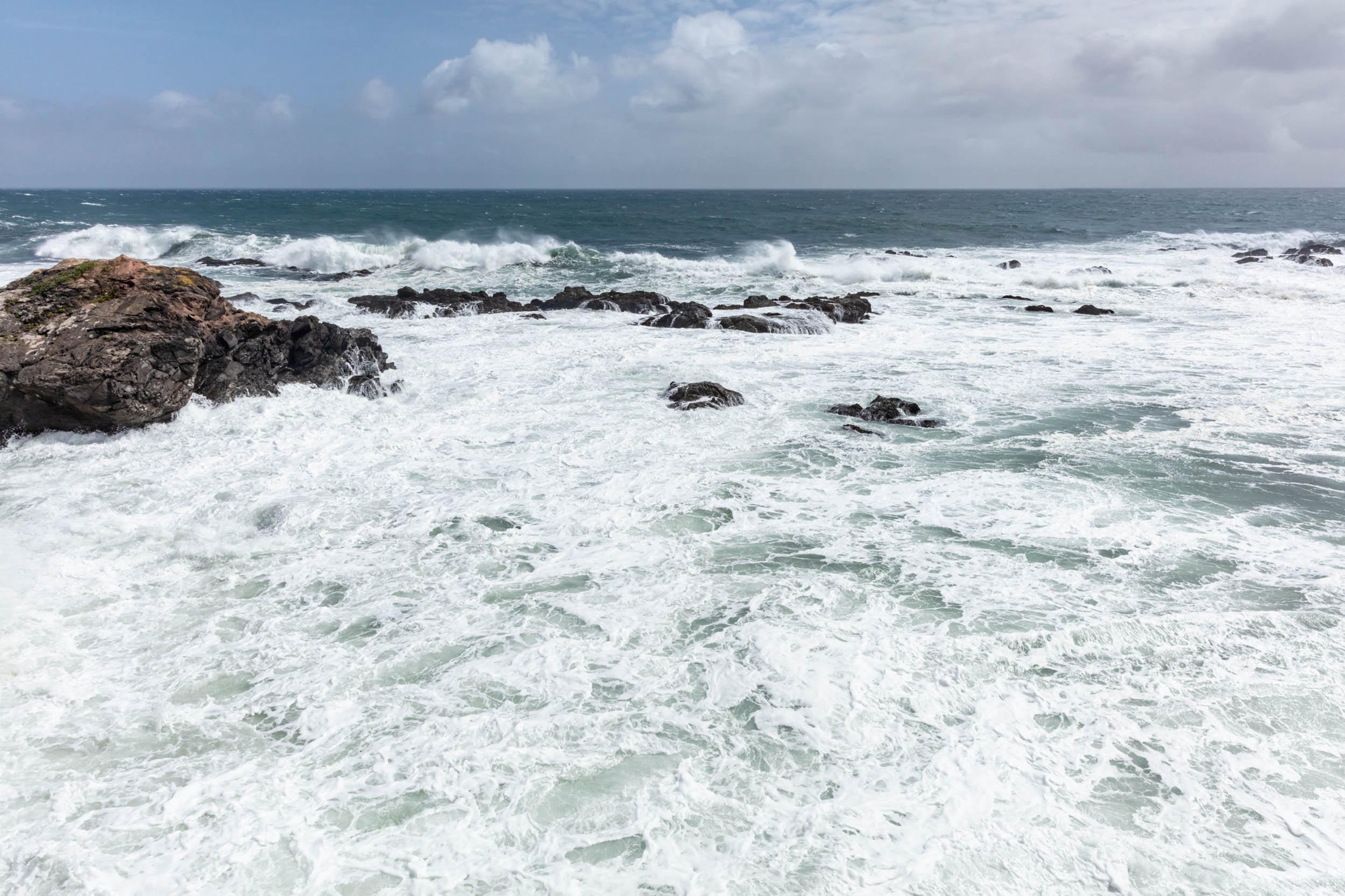
I returned to Wild Moor Point forty times over the next four years to manifest The Tidal Block picture. The frames of tidal levels mapped the imprinted memories between the rocks, waves, and me. Fascinated with the accumulation of time I crafted the Tidal Block Strata picture to relay the depth of our experience together. From the highest crashing water to the hidden subtidal rocks I could see the tides inhale and exhale with every day we’d shared.
HOW MANY STRINGS?
Answering the question, “How can I see all of the tidal levels at once?”, was neither an easy nor quick undertaking. The most important lesson learned was that the entire process was an exercise in futility and yet too compelling to abandon. Exact matches would take a lifetime to master. Ultimately, it took years to begin the first Tidal Block picture and over 40 visits to Wild Moor Point to capture enough frames to construct it.
ONLY 11,000 FRAMES


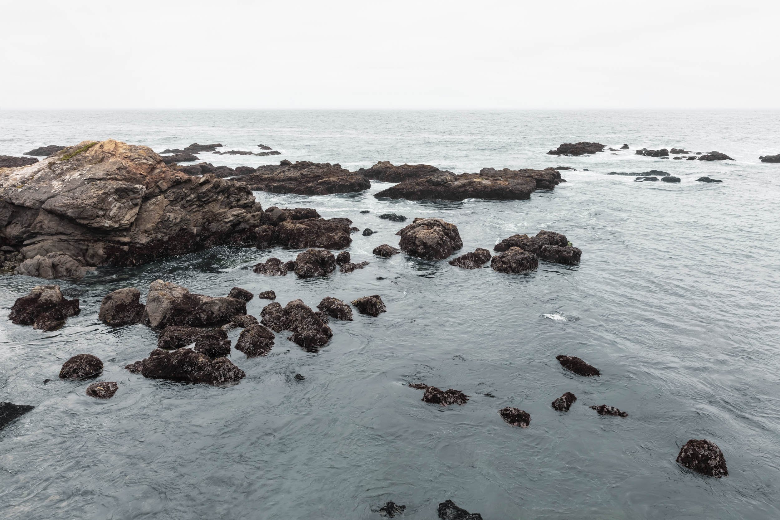
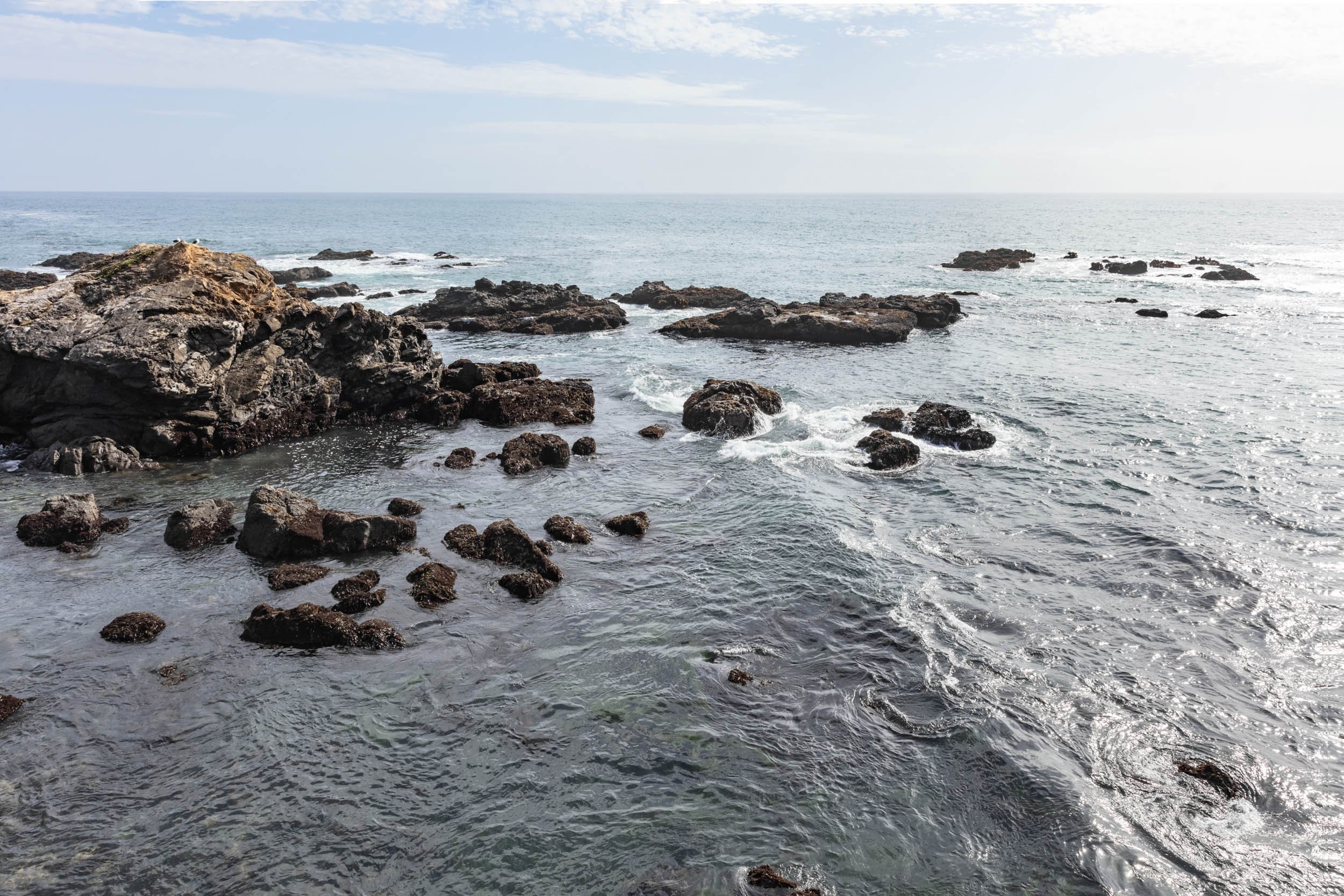


There was no quick, easy way to shoot matching frames for my endeavor, nor an existing method to follow. So I built one by implementing a system with a reference photo that mirrored the viewfinder grid. Employing guidelines and foot markers I photographed the spot with the fervor of a long-lost love. Eventually I cataloged over 11,000 frames as each incarnation of rocks and water were revealed.