
MAP ECHOES
Intertidal project string map time lapse video of return visits to same locations in sea ranch by photographer kerry mansfield
THE INTERTIDAL RELOCATION MAP
My love of string maps grew from watching crime-based movies and TV shows in my childhood. I was fascinated by the pure display of information proving too large for a sheet of paper. Upon deciding to recapture my desired locations I finally had a reason to craft my own. My current eight-foot string map tracks all return visits to twenty locations and now I cannot imagine Intertidal without it.
NEVER SAW IT COMING
My initial string map was intended to locate majestic sites captured with my iPhone during the first visit to Sea Ranch. Since I couldn’t find the way back to them from memory alone, photos embedded with GPS coordinates became priceless. The map grew while I tirelessly tracked every single picture back to its origin with GPS breadcrumbs. There was no way to foresee the magnitude of the undertaking ahead.
“X” MARKS THE SPOT
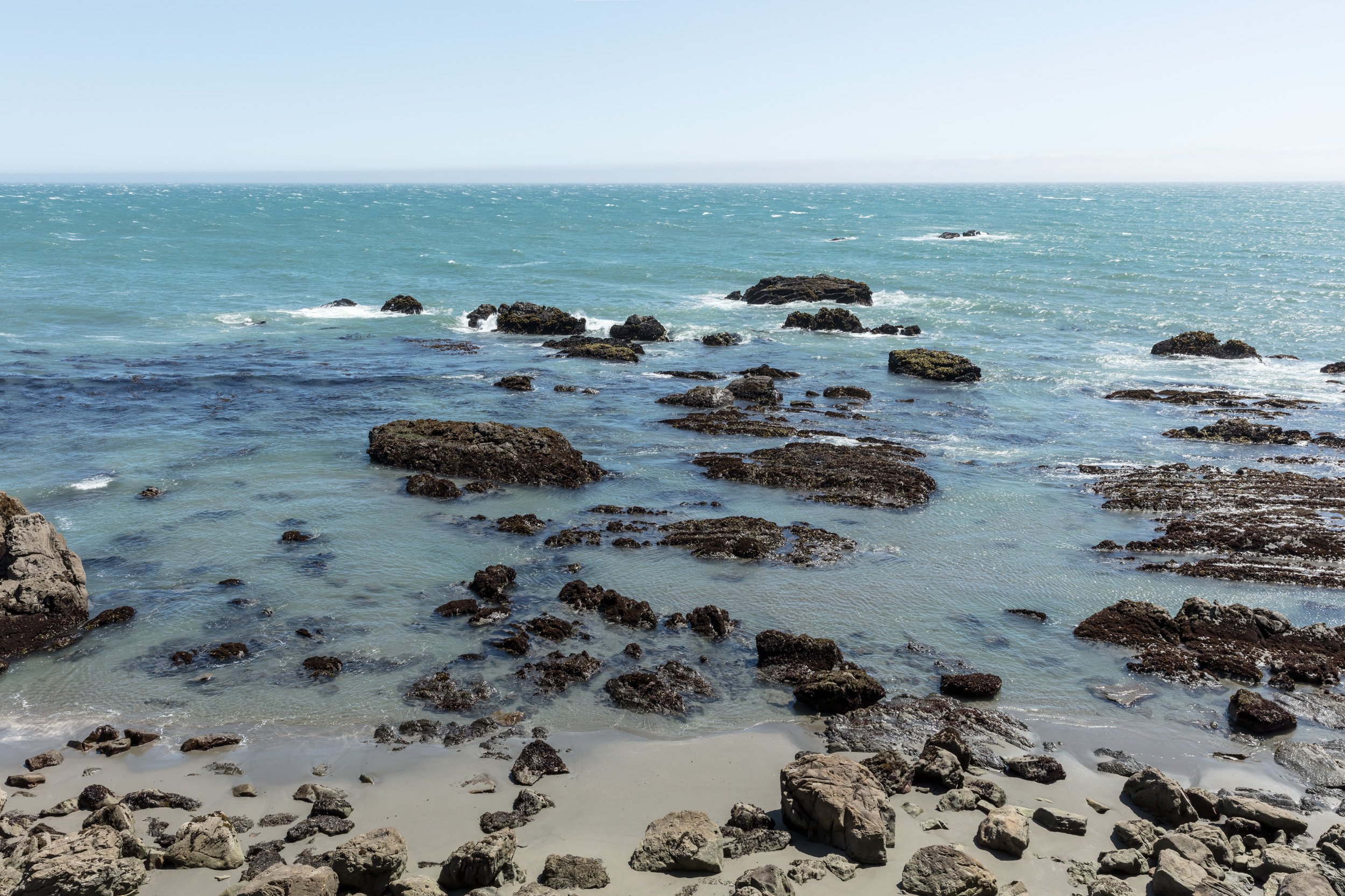
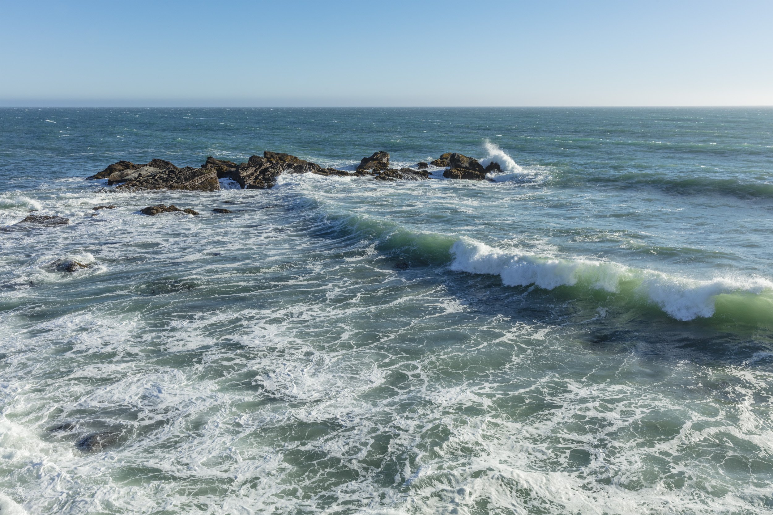
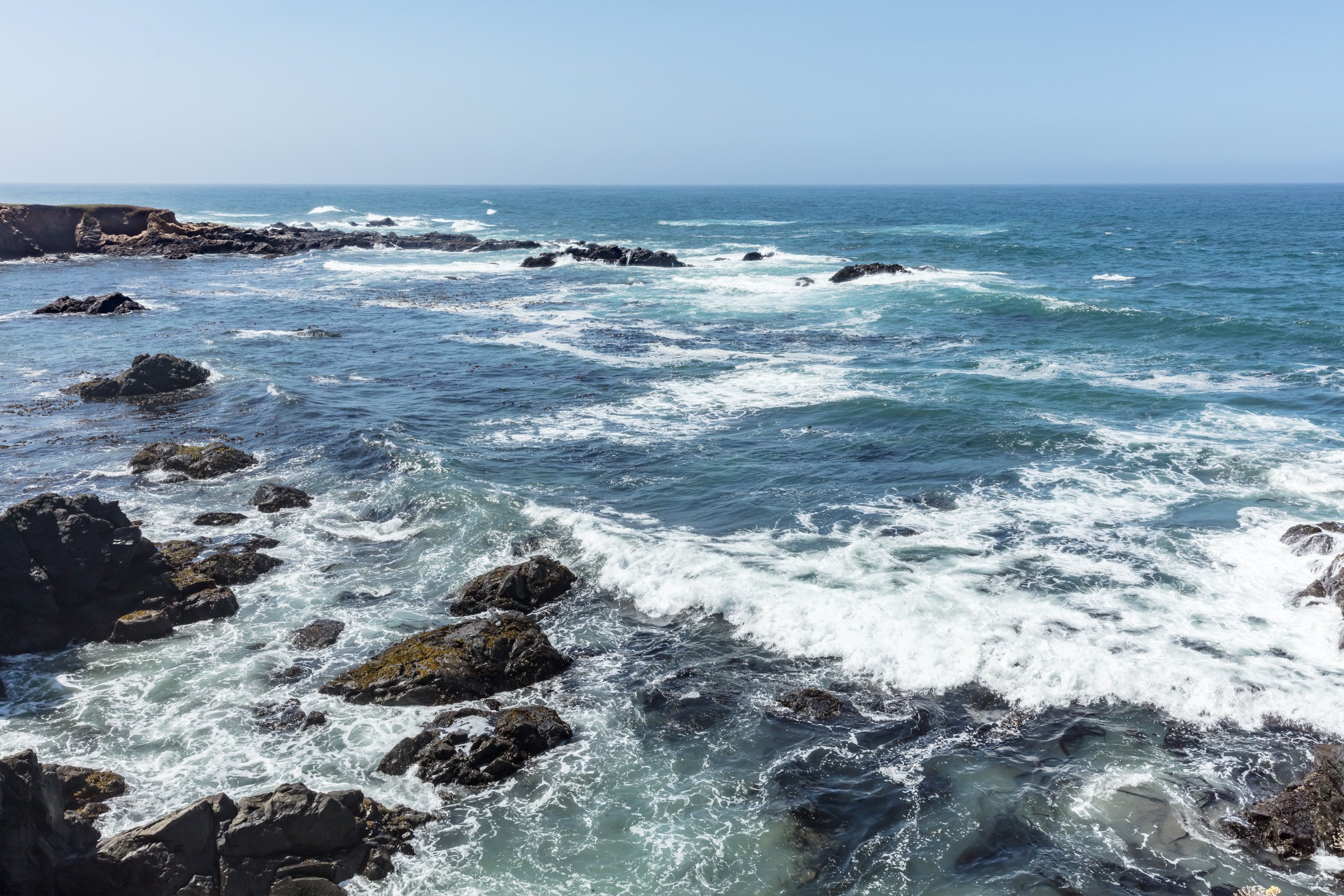
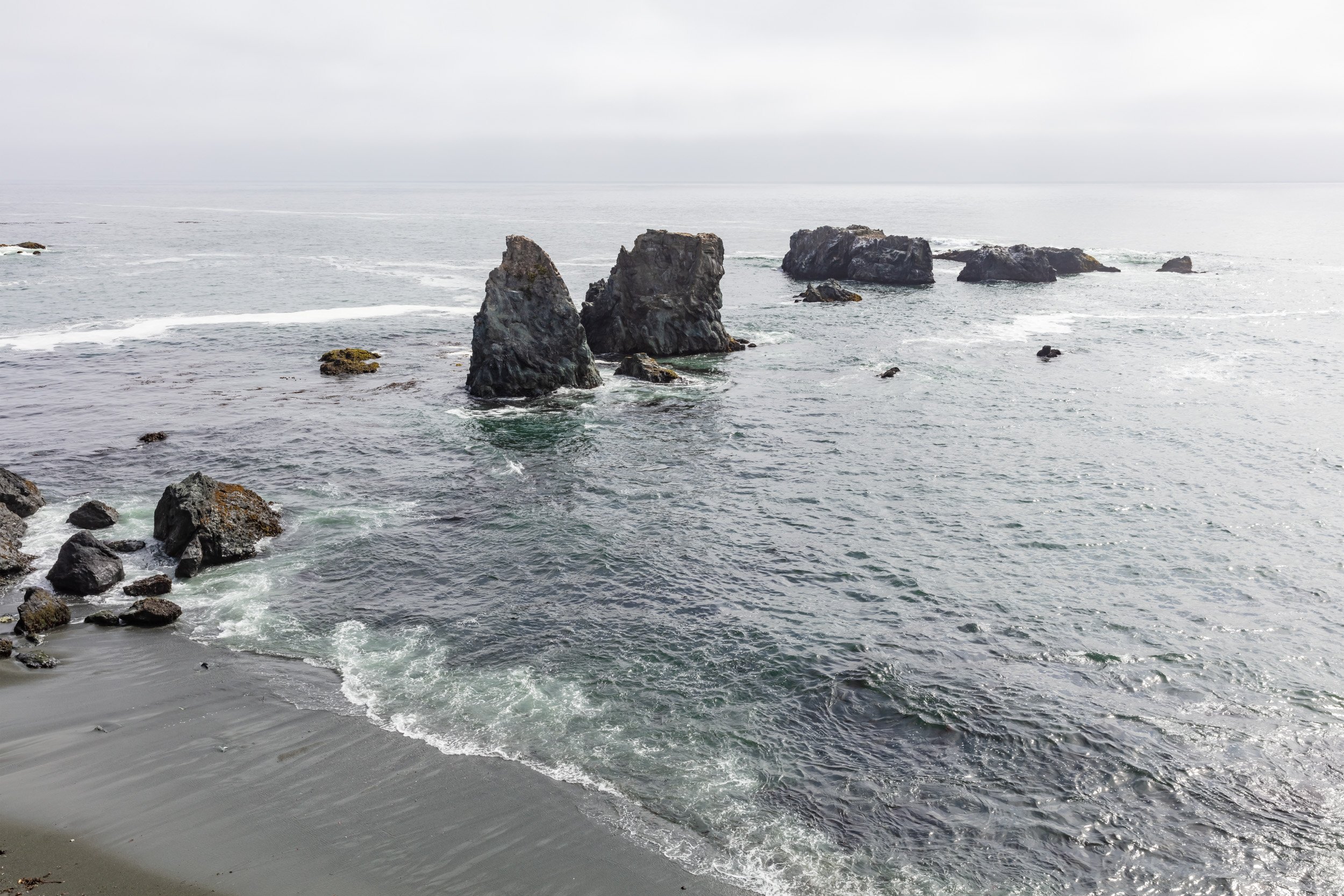

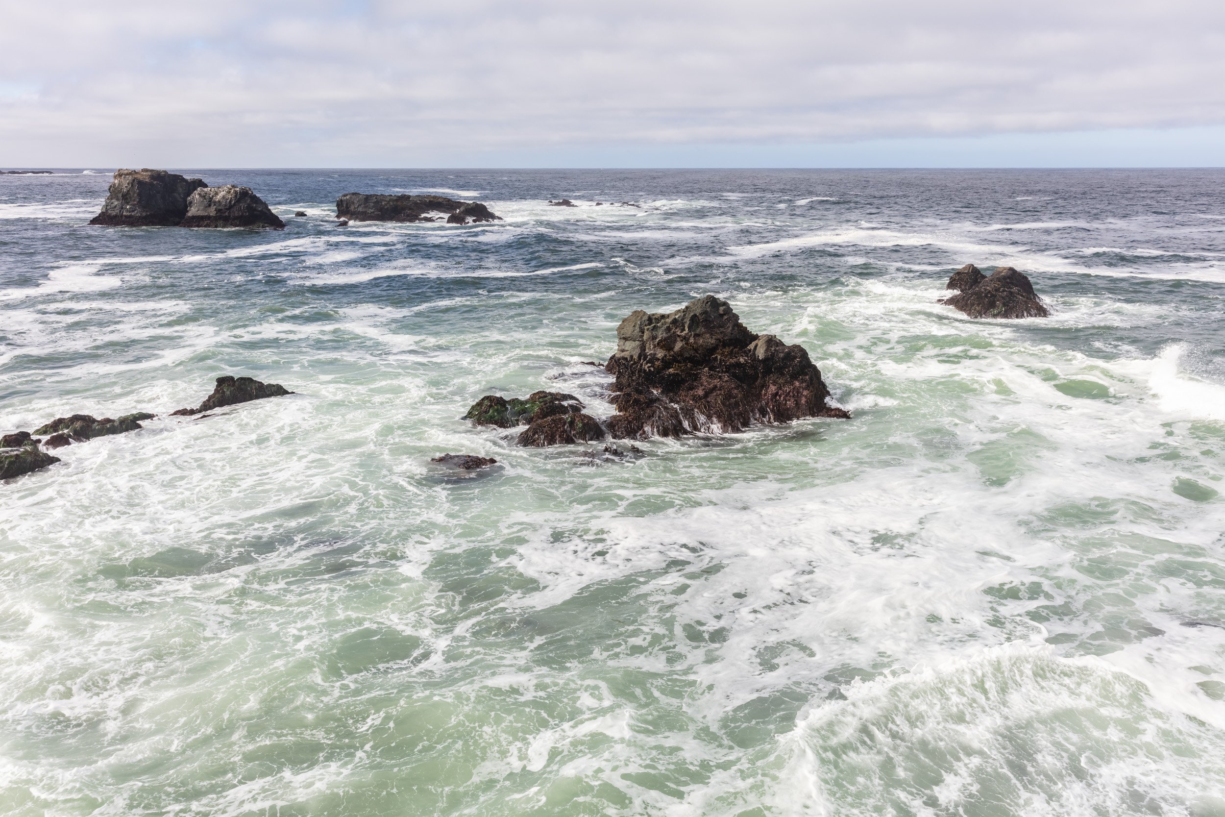
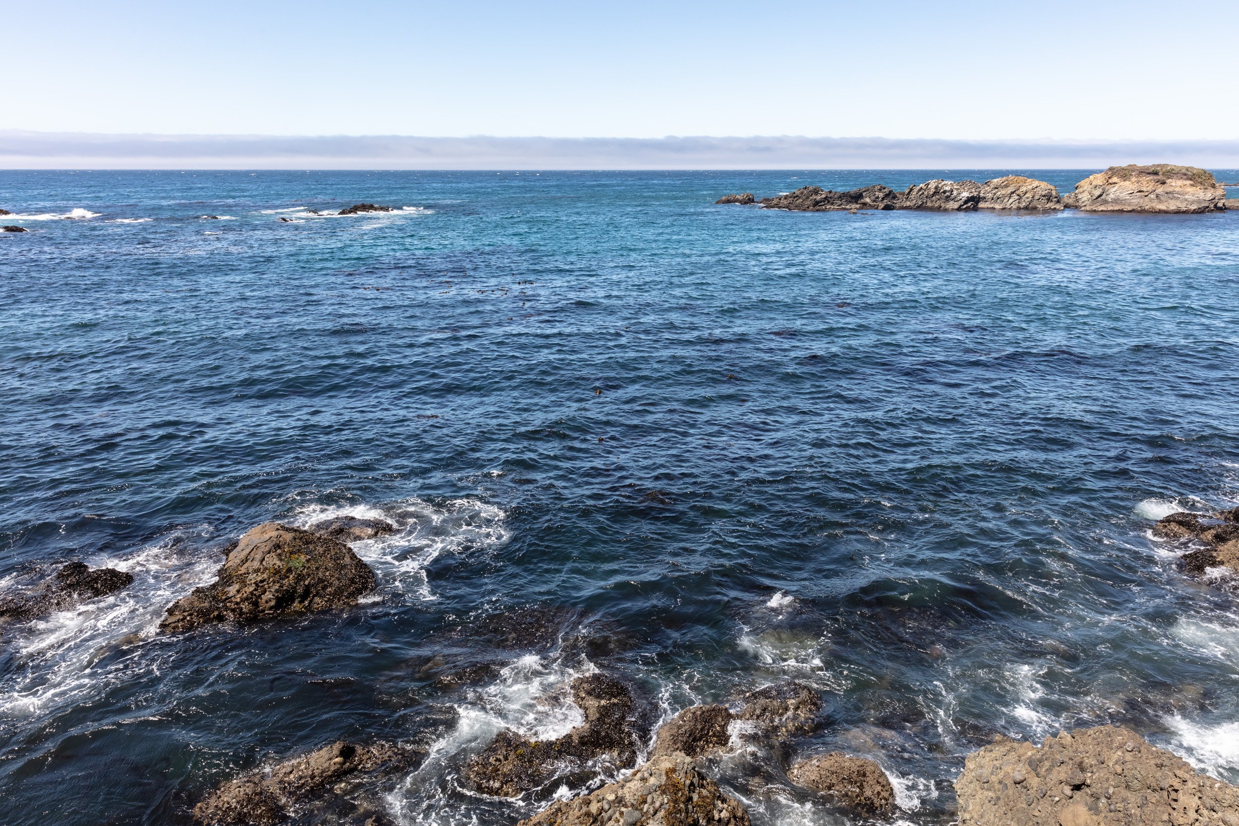
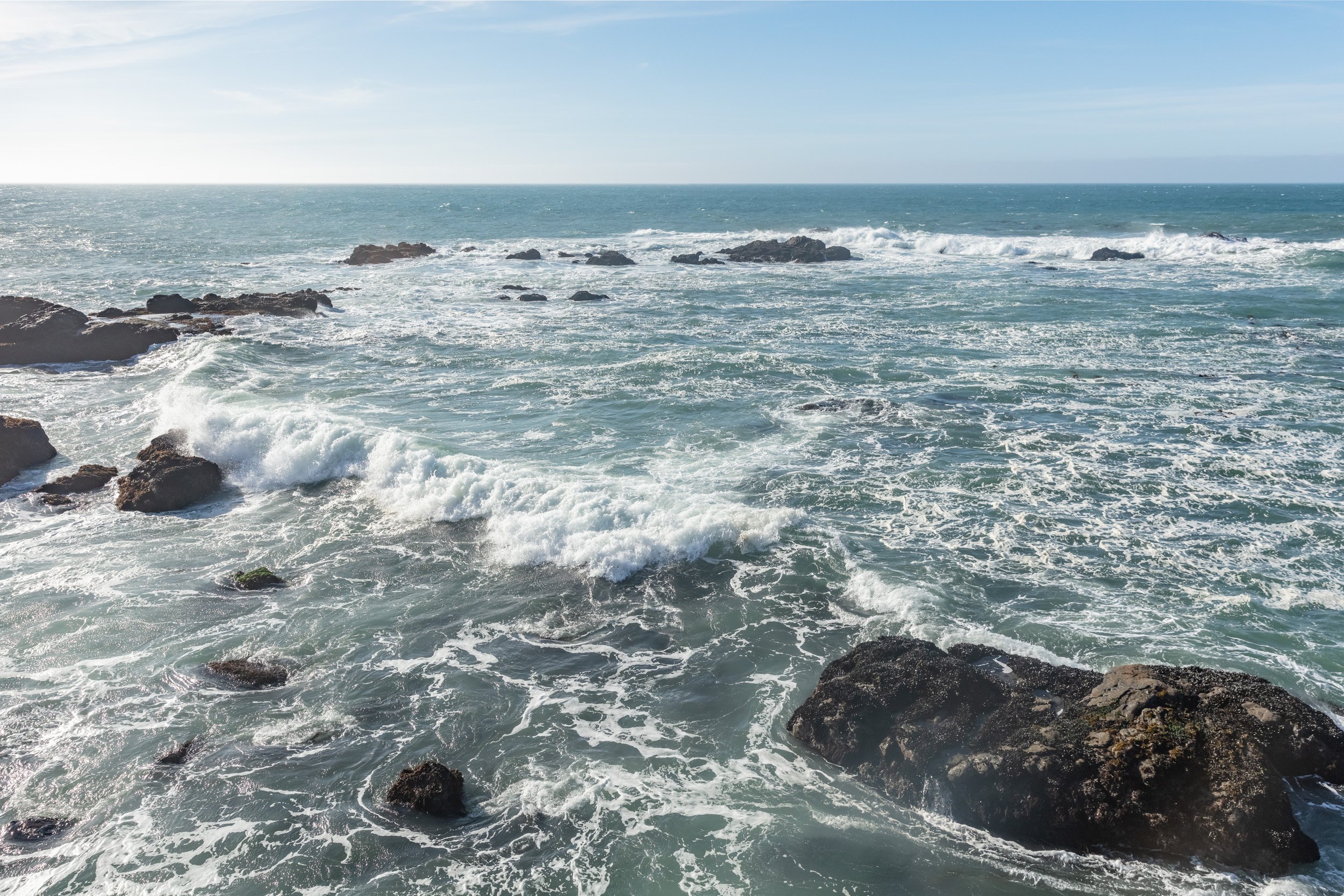
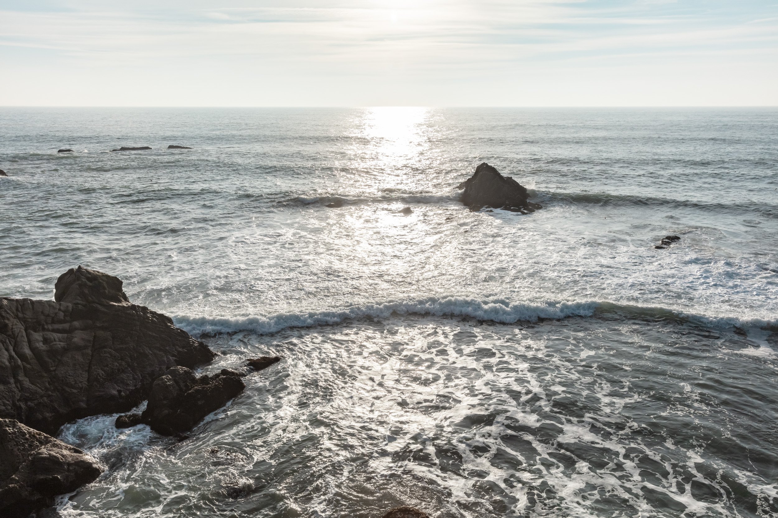
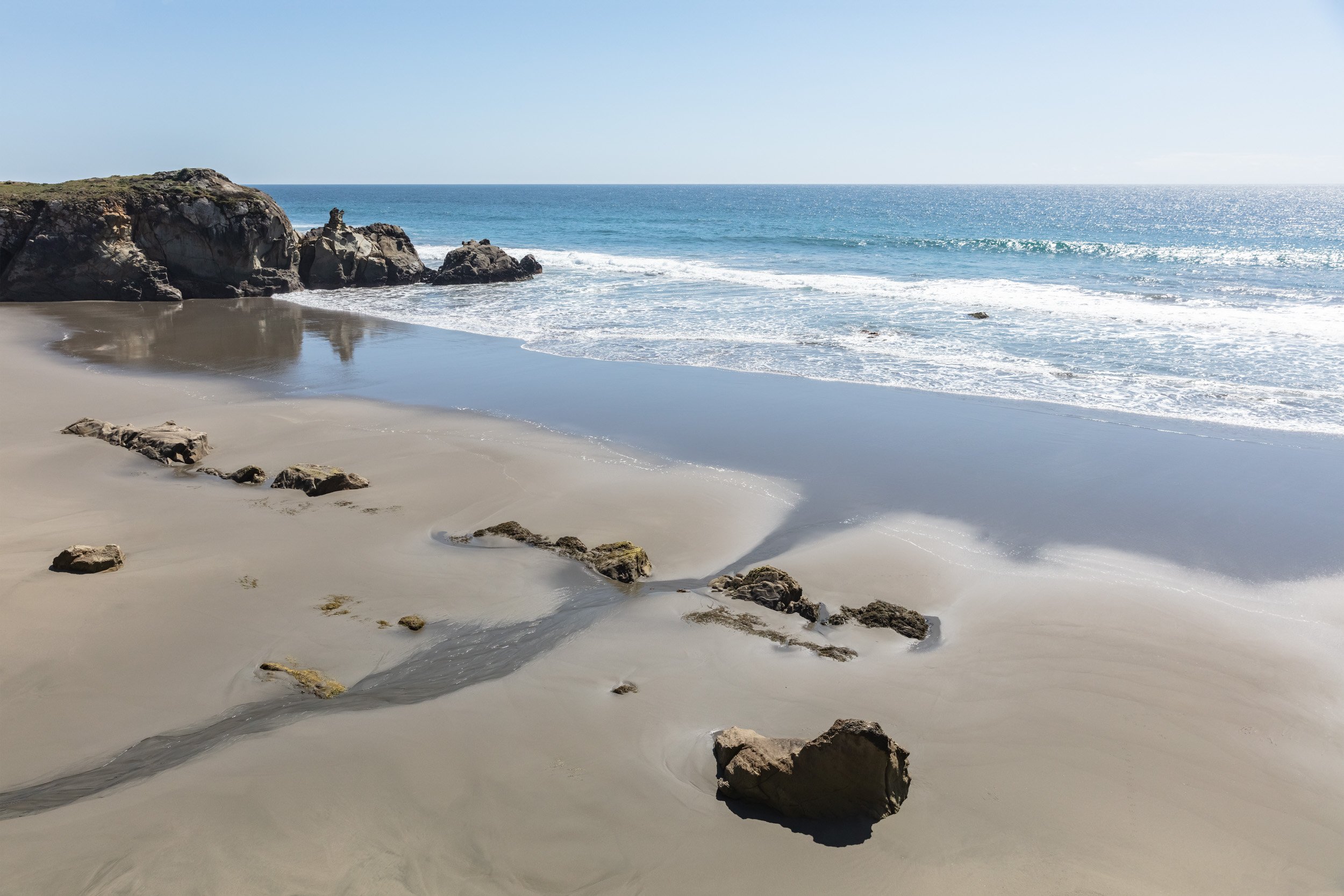
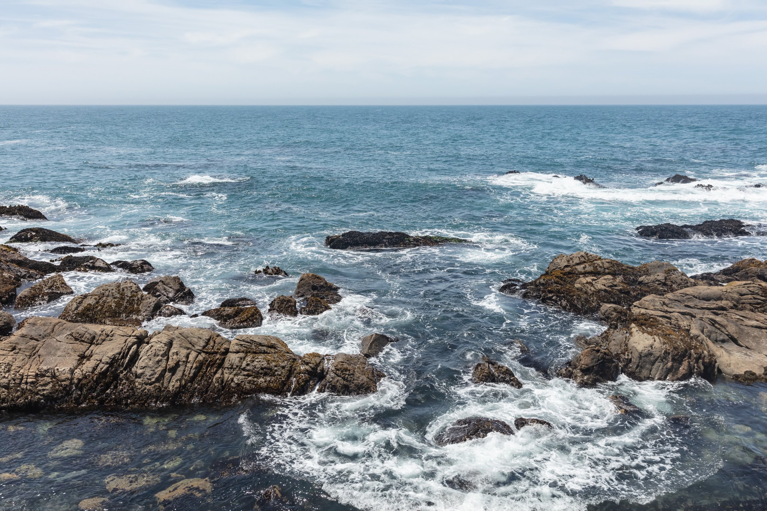
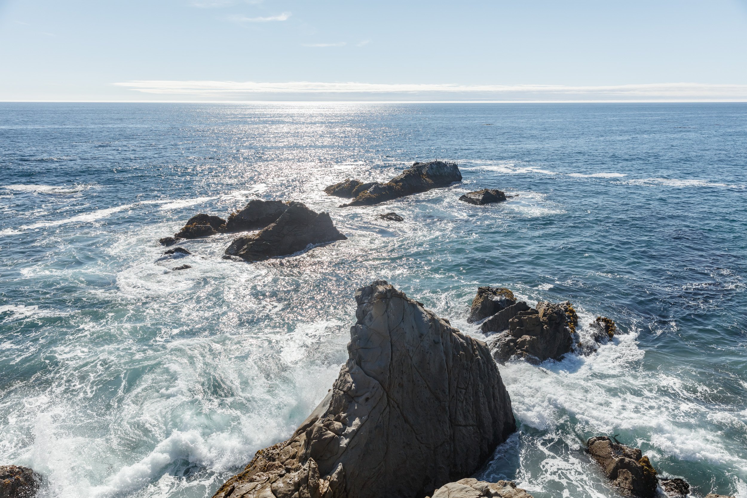
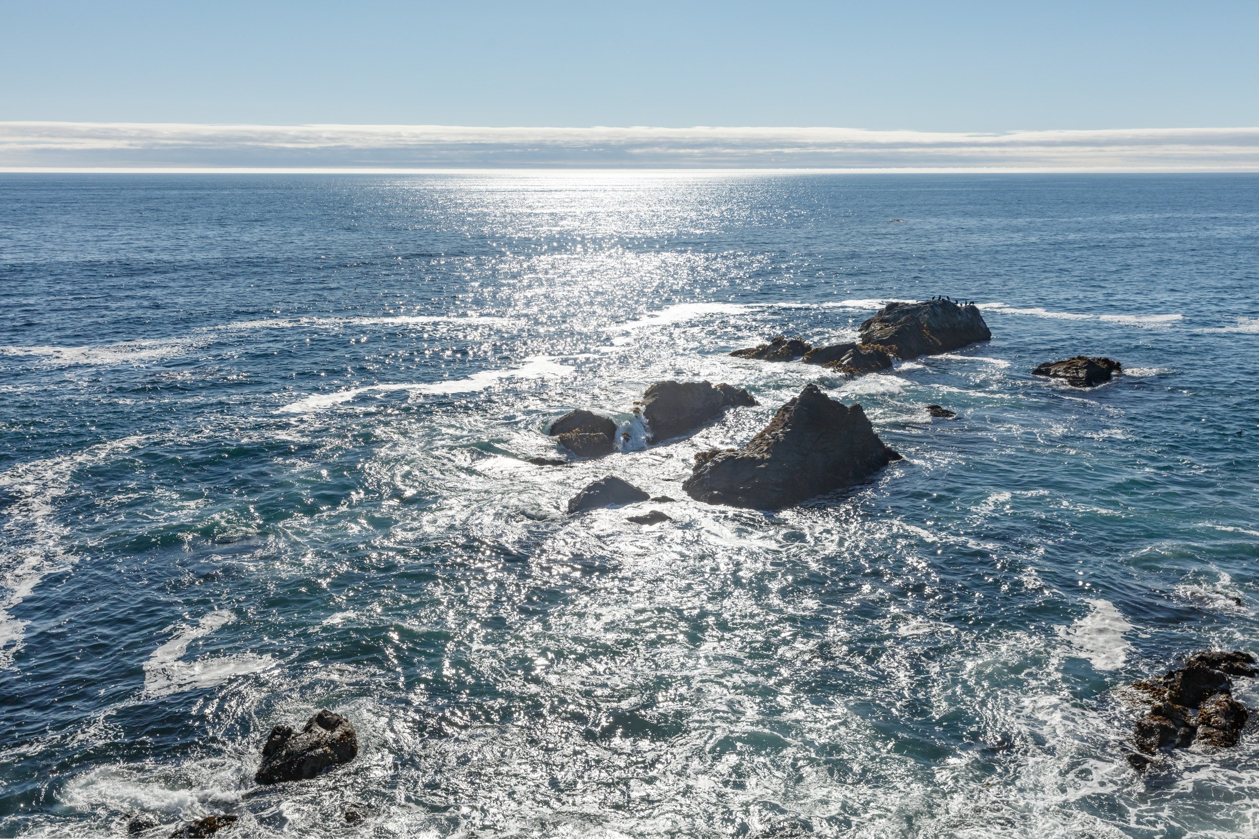
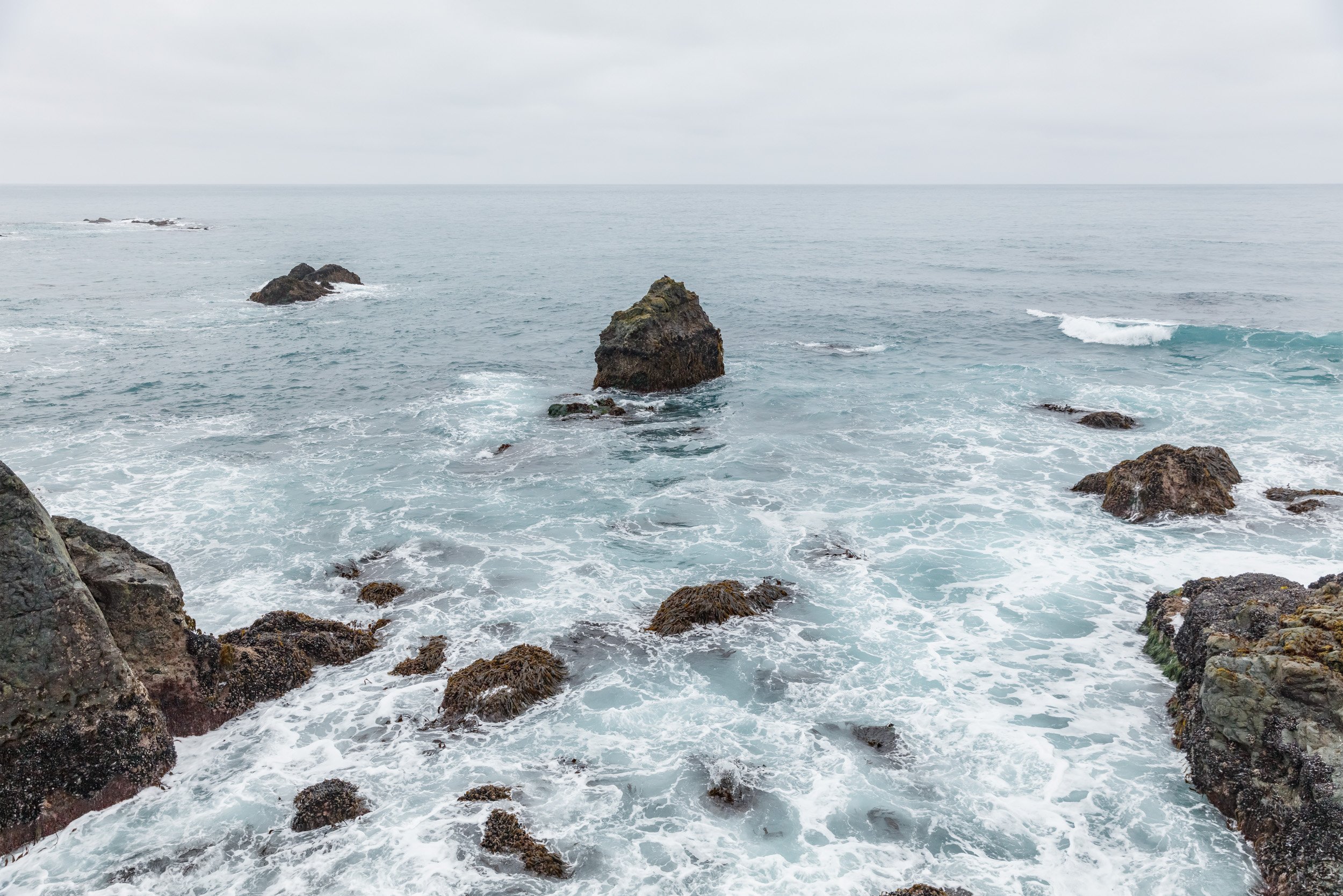
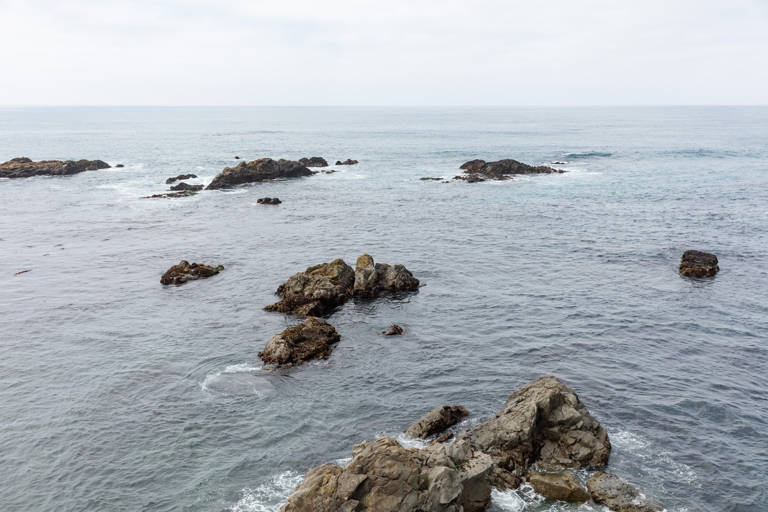
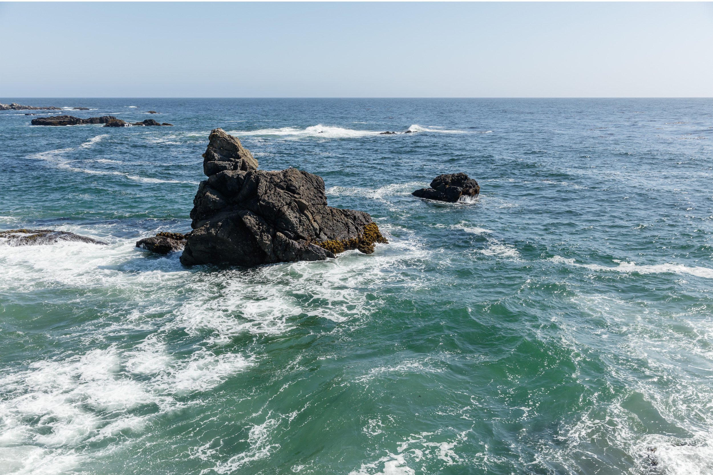
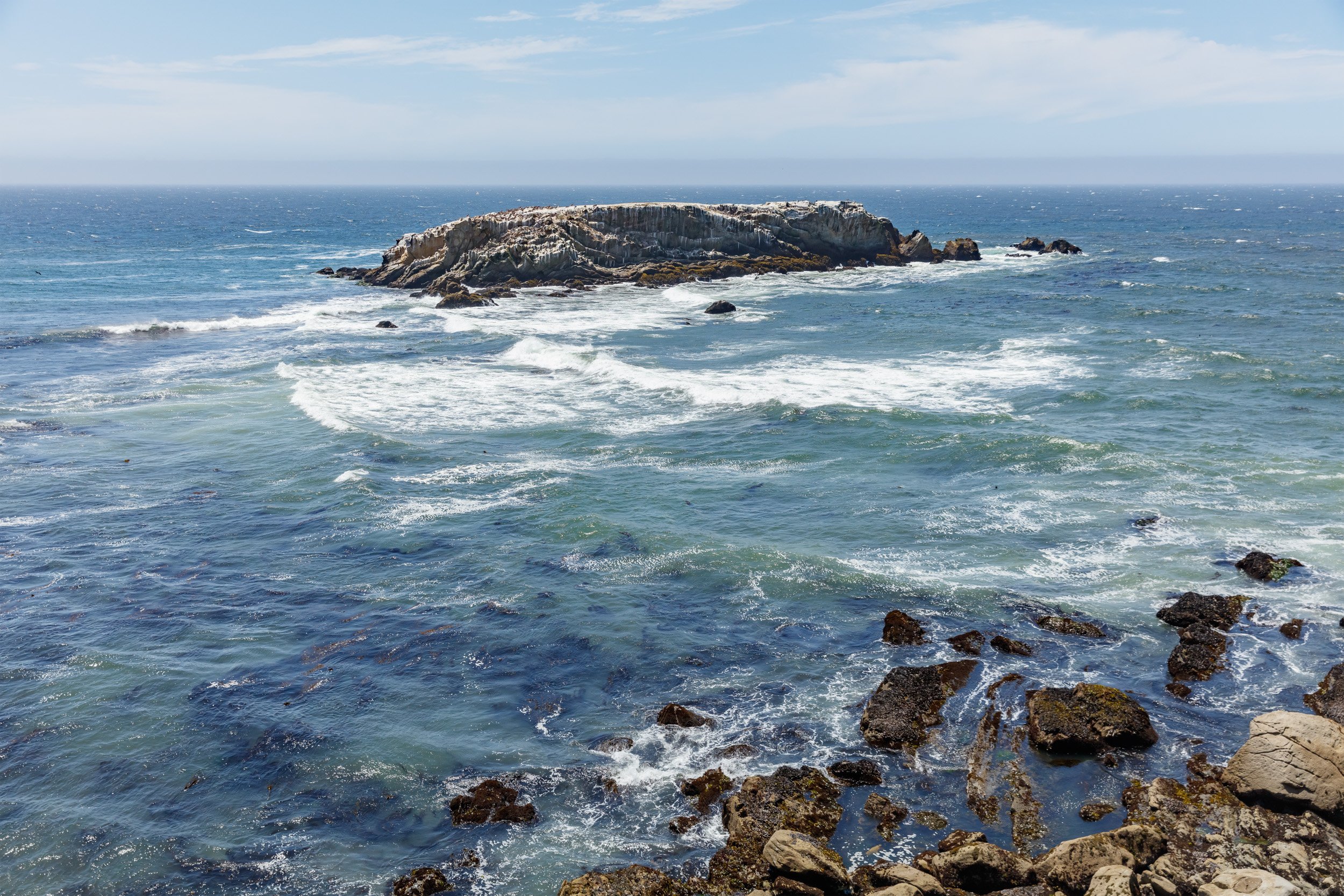
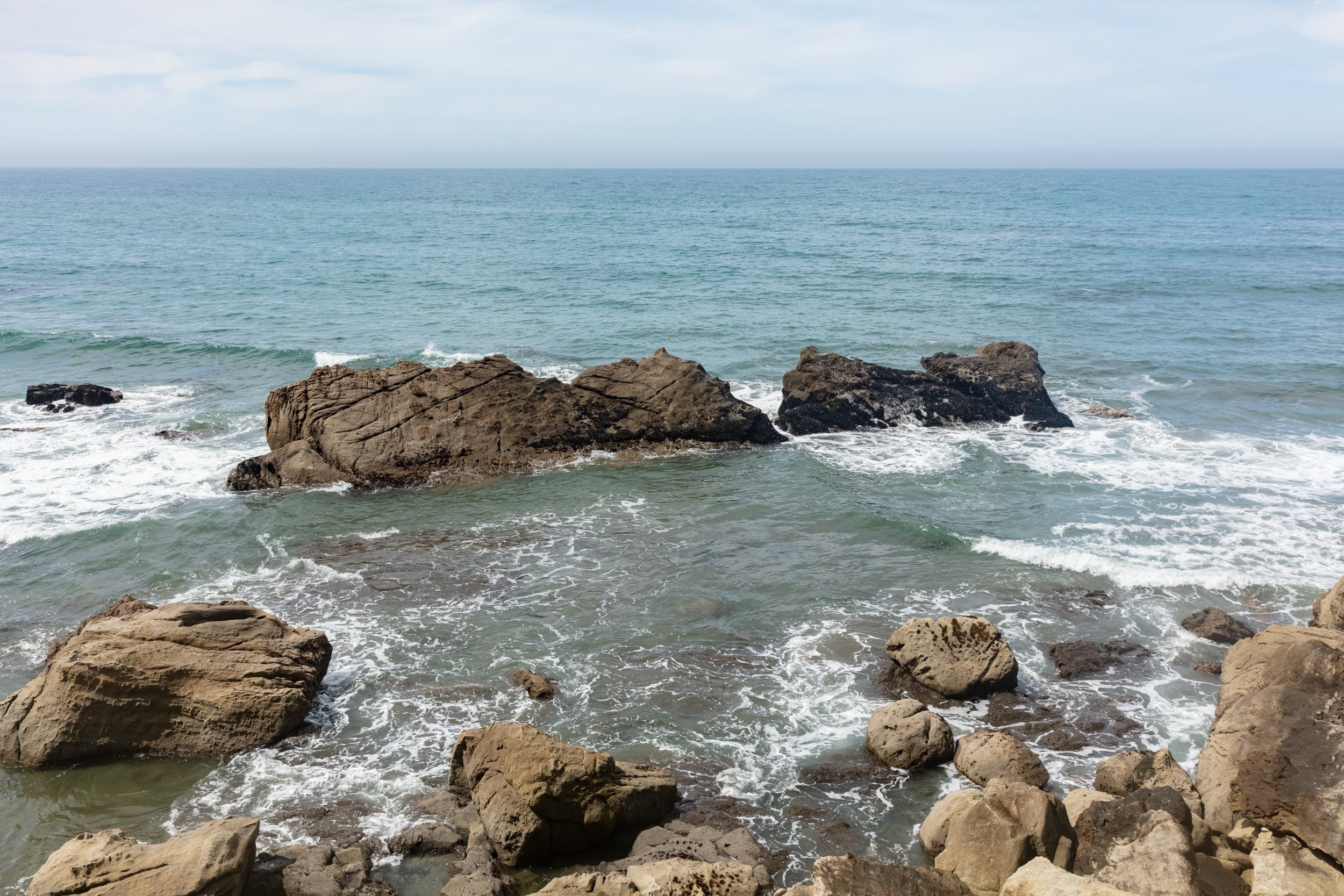
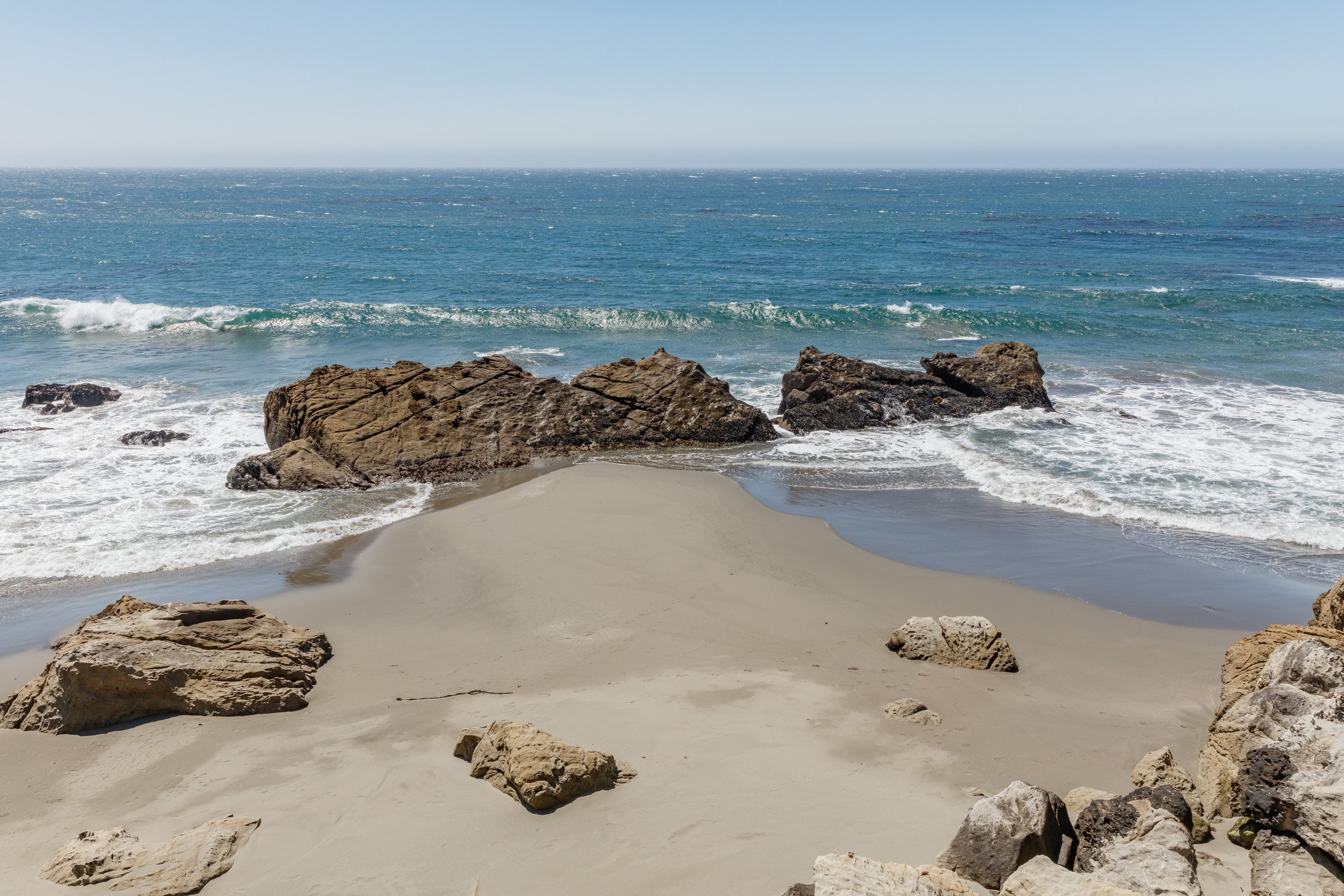
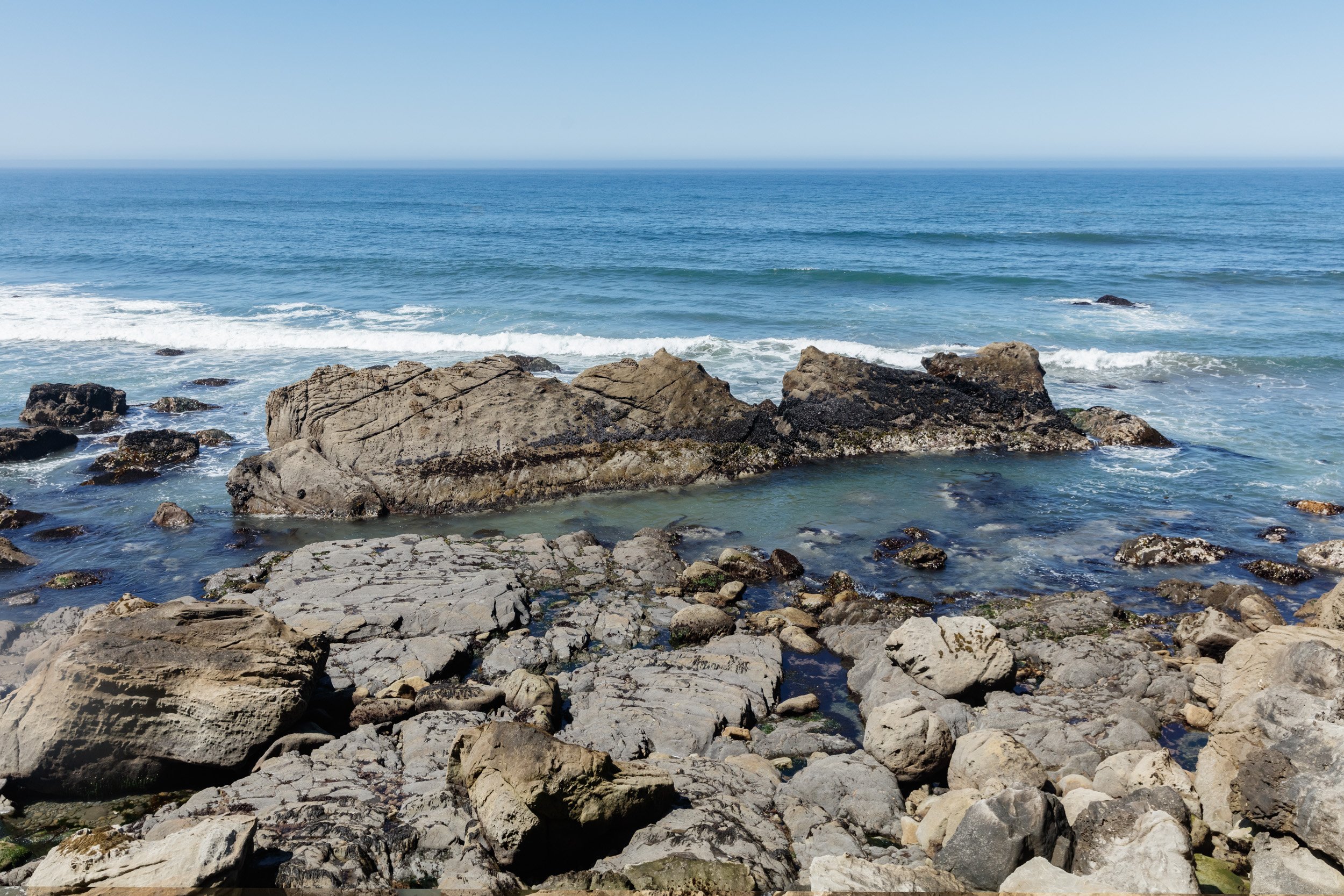
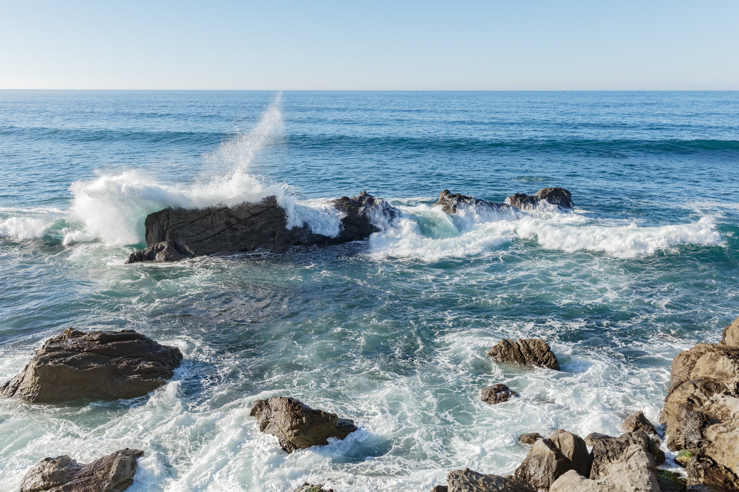
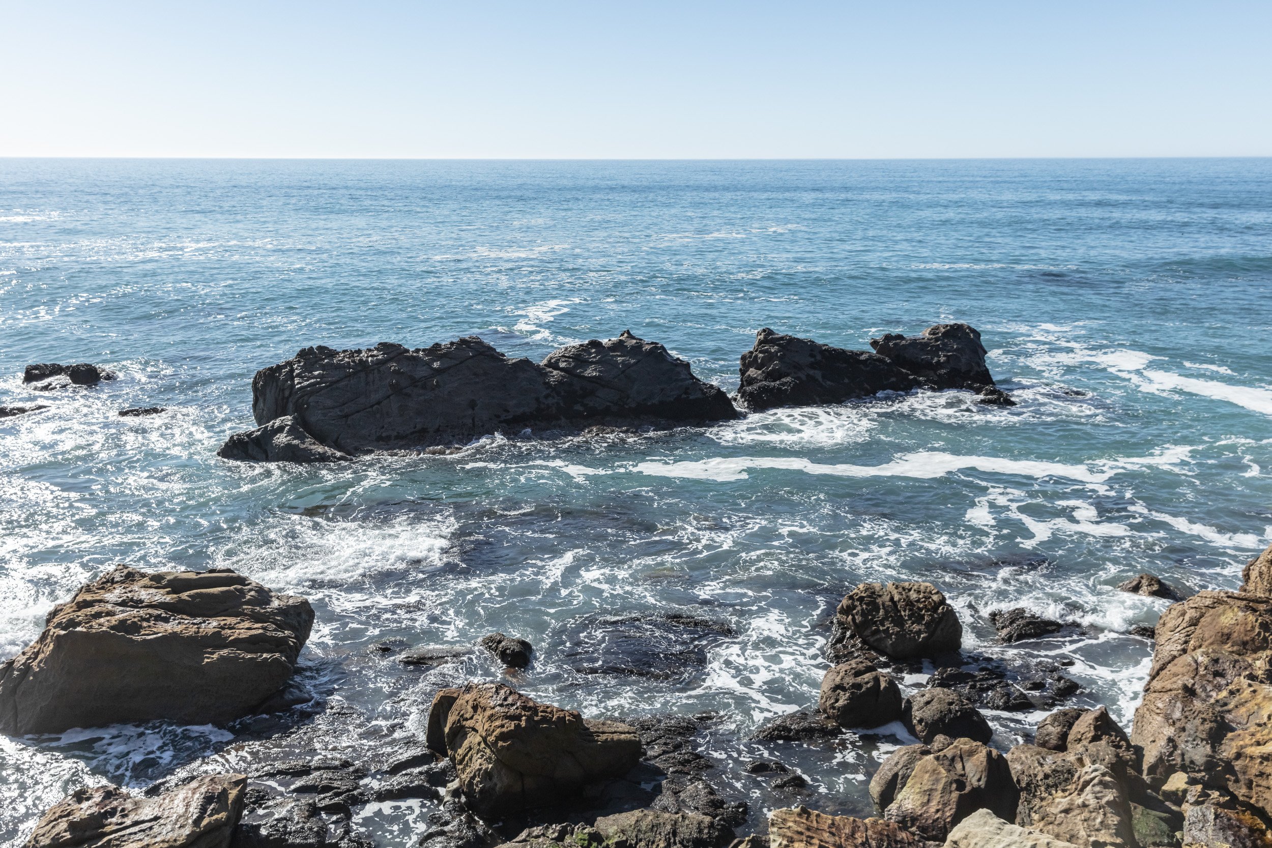
Employing my iPhone string map results I stalked the cliff edges I’d been drawn to originally. Unwittingly the compositions were reverential of Japanese wood block prints that distilled the infinite dance between water and rocks down to defined shapes of color. Choosing only 21 target locations from thousands of images wasn’t an easy task but it launched my deep connection to the rock centerpieces I would come to know so well.

HARDER THAN IT LOOKS
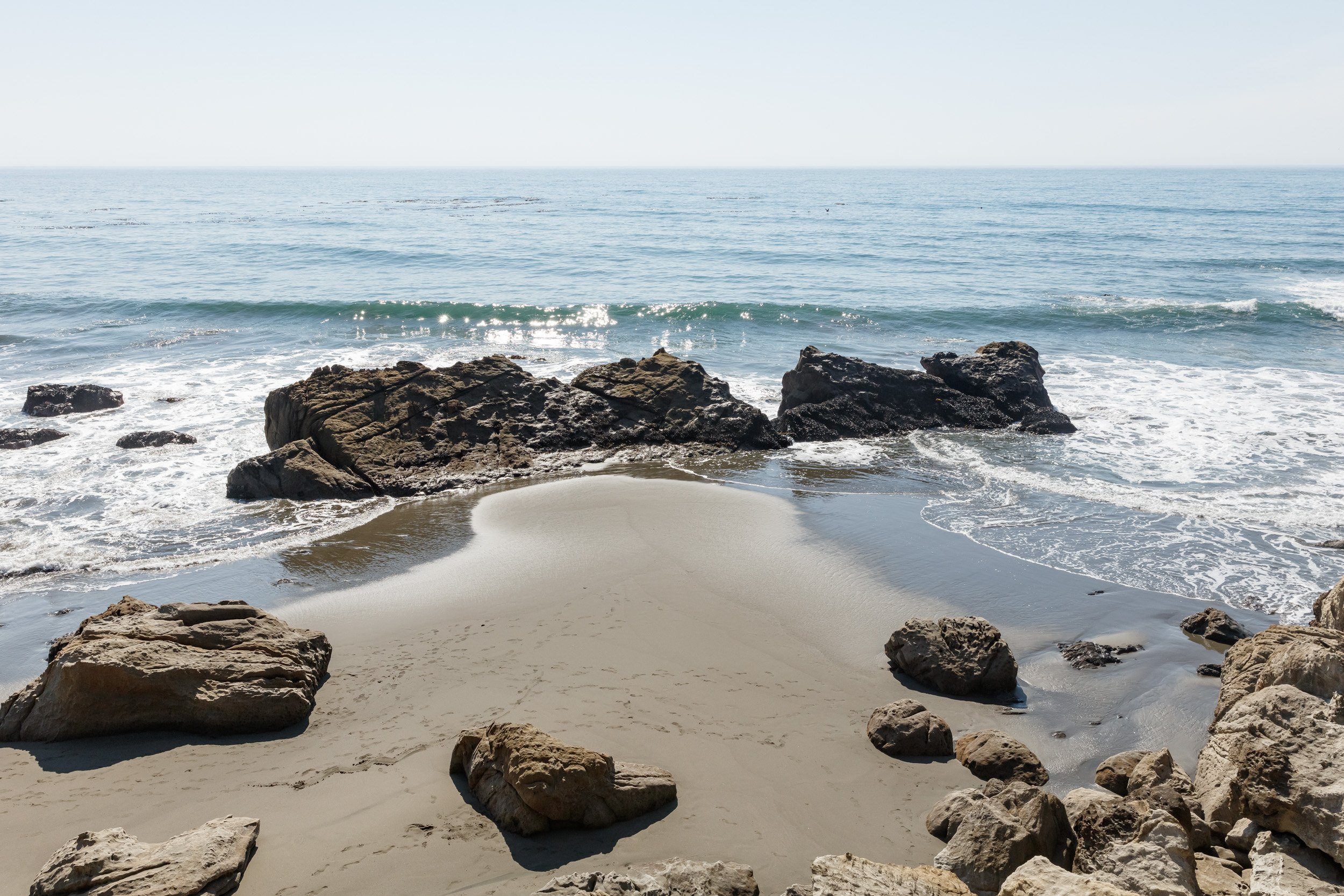
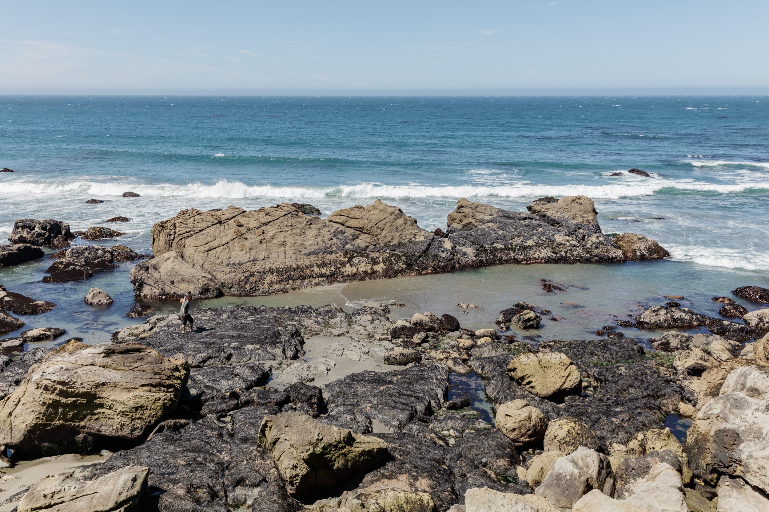
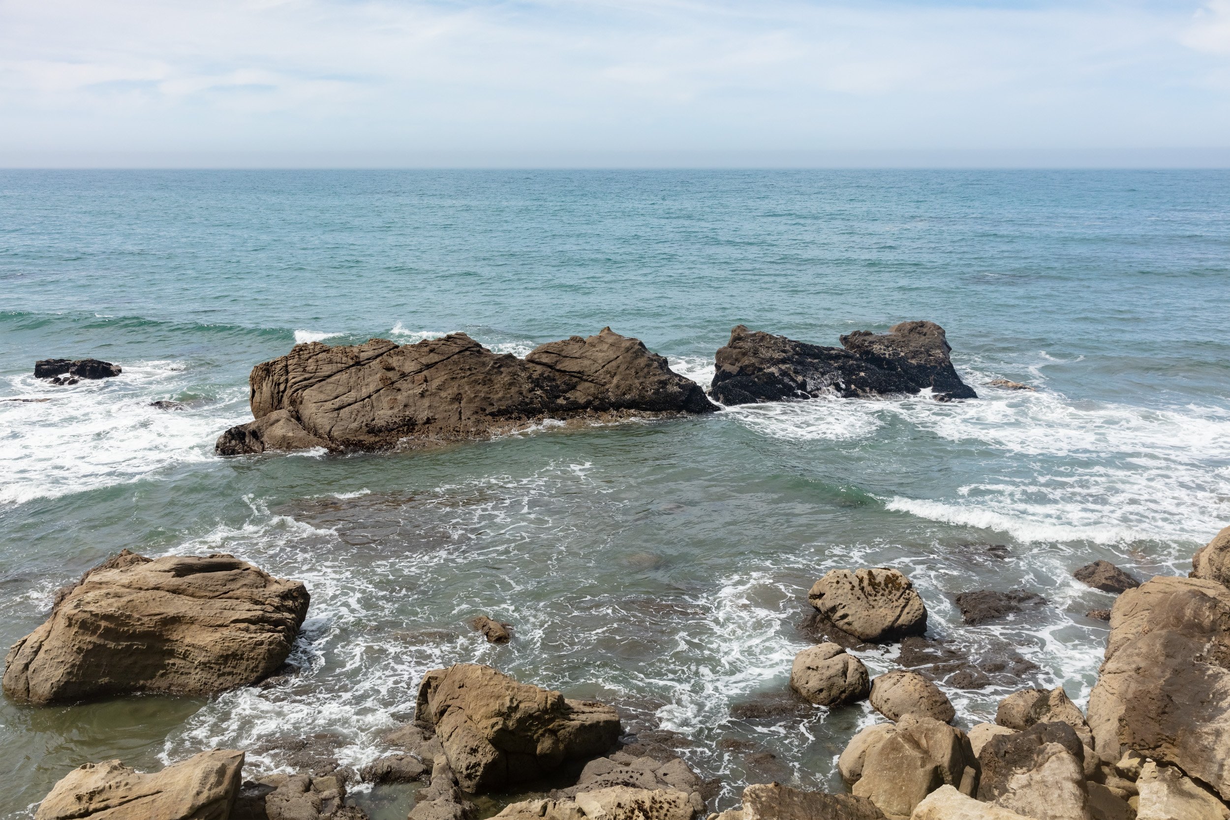
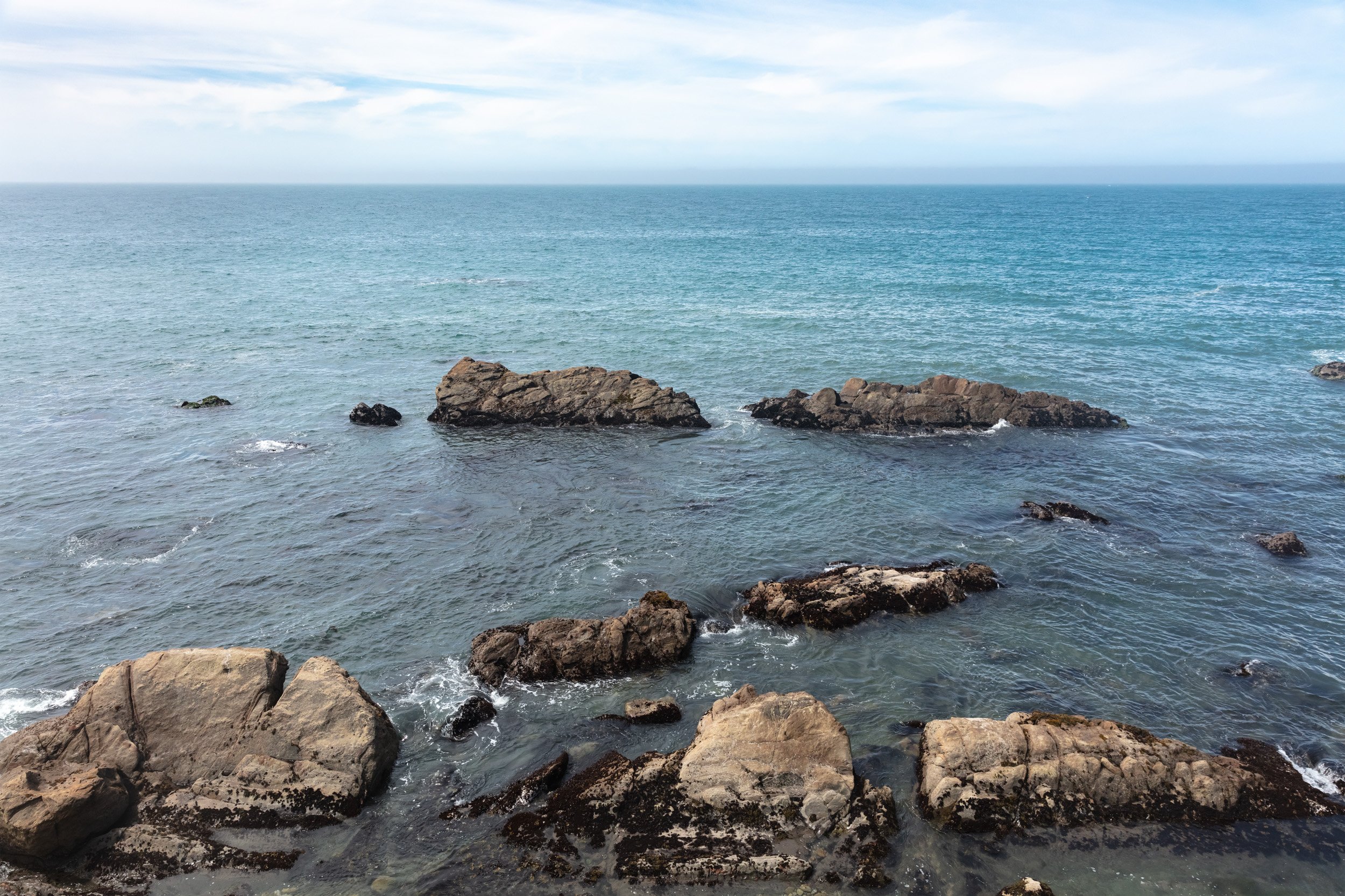
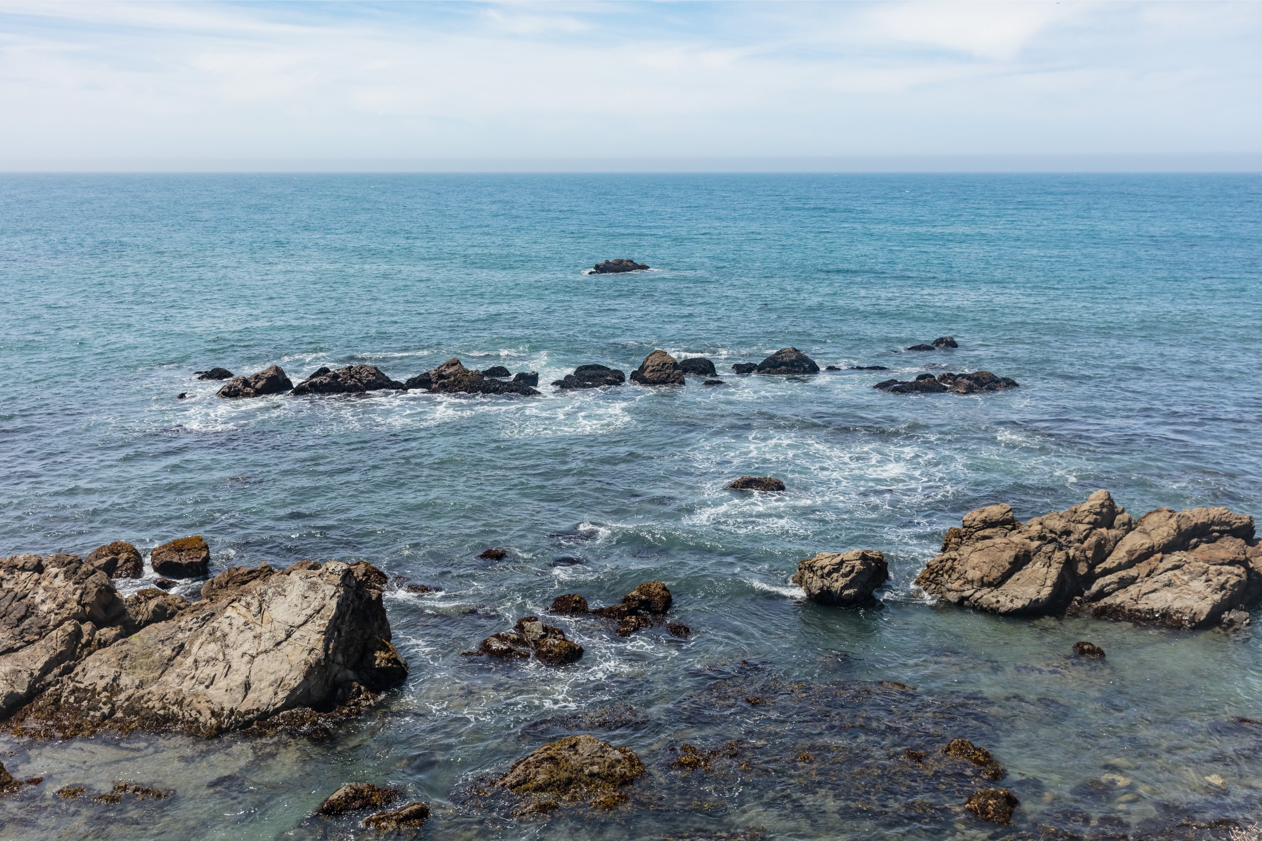
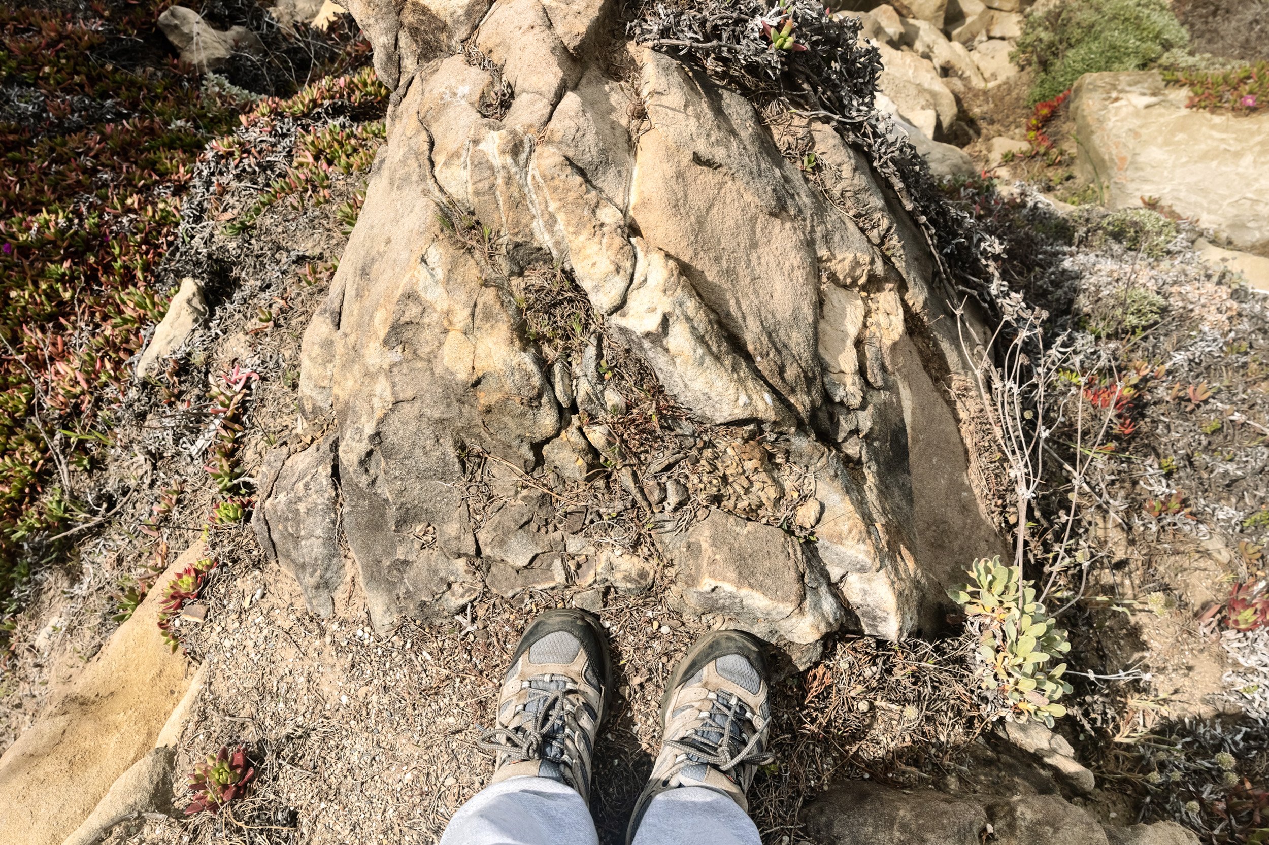
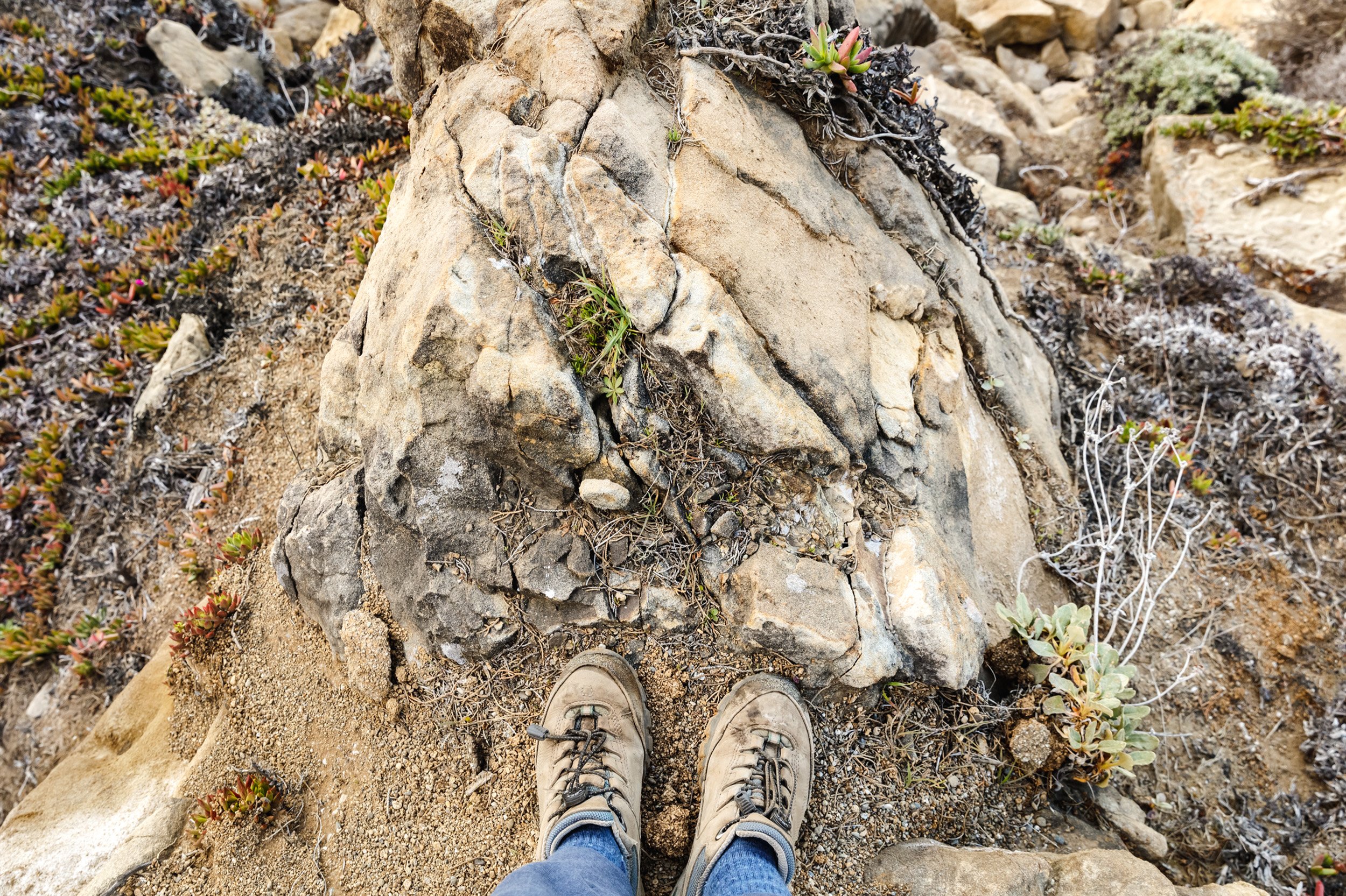
Originally, I thought GPS coordinates would do the trick but that only got me within feet of the target. Creating more structure for the Relocation Attempts was essential if I wanted to succeed. Thus, I would need to photograph my feet in place and repeat that stance exactly. I also crafted small albums with the origin target photo overlaid with a grid to mirror the camera viewfinder. I began visiting each location analyzing the results like a criminologist.
THE RELOCATION ENDGAME
Answering the question, “How can I see all of the tidal levels at once?”, was neither an easy nor quick undertaking. While faithfully shooting my desired locations for years I meticulously noted results in a massive spreadsheet. The most important lesson learned was that the entire process was an exercise in futility and yet too compelling to abandon. Exact matches would take a lifetime to master. Ultimately, it took years to begin the first Tidal Block picture and 40 visits to Wild Moor Point to capture enough frames to construct it. One down, only twenty to go…

LOSING GROUND
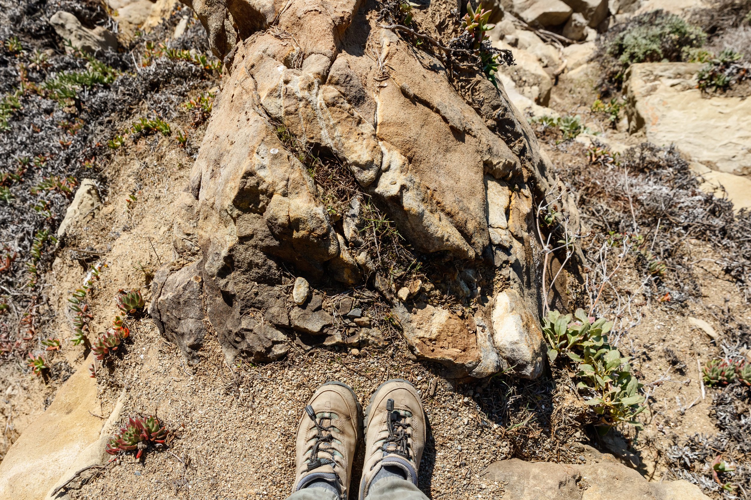
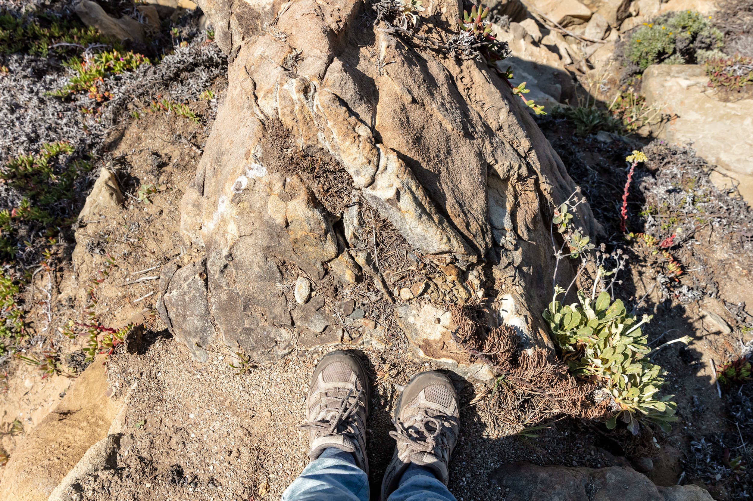

Climate change wasn’t an impetus for the Intertidal Project, however, the topic manifested during my Relocation Attempts. When I shot my first “foot marker” photos, I didn’t envision that fragile bluff edges might crumble beneath me. Four years later one place has become a remarkable study in climate change. My reference pictures revealed that the ledge I stand upon has slowly decayed from extreme weather events. As the danger to shoot increases I hope the essential site 50’ above ground level won’t give way taking me with it before crafting Tidal Block II.